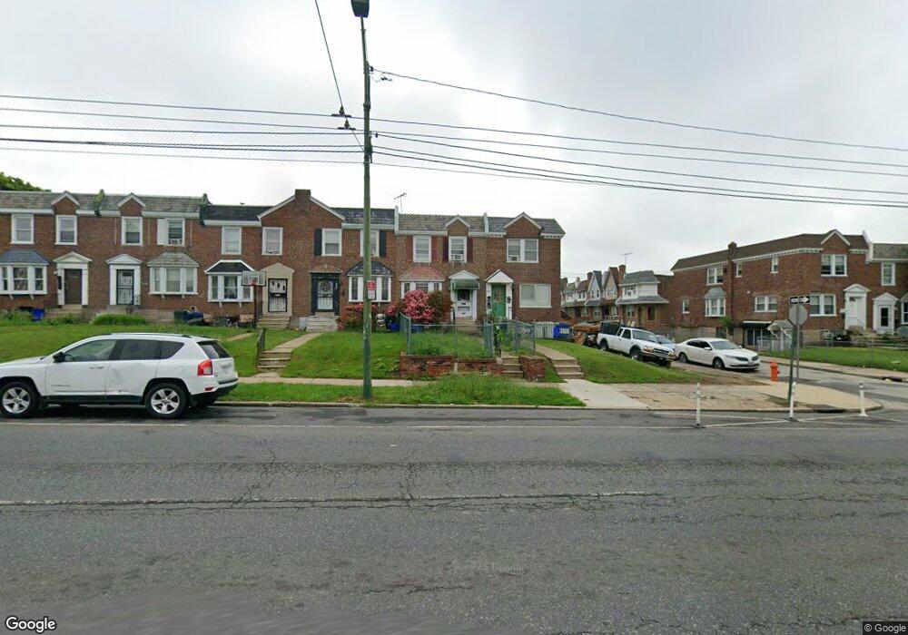
6129 Castor Ave Philadelphia, PA 19149
Oxford Circle NeighborhoodEstimated Value: $212,000 - $244,000
3
Beds
1
Bath
1,272
Sq Ft
$176/Sq Ft
Est. Value
About This Home
This home is located at 6129 Castor Ave, Philadelphia, PA 19149 and is currently estimated at $224,121, approximately $176 per square foot. 6129 Castor Ave is a home located in Philadelphia County with nearby schools including Gilbert Spruance School, Northeast High School, and The Philadelphia Charter School for the Arts & Sciences.
Ownership History
Date
Name
Owned For
Owner Type
Purchase Details
Closed on
Jun 28, 2000
Sold by
Ferry Alice E
Bought by
Dong Hao Fei and Chen Bi Fang
Current Estimated Value
Home Financials for this Owner
Home Financials are based on the most recent Mortgage that was taken out on this home.
Original Mortgage
$37,500
Outstanding Balance
$13,375
Interest Rate
8.59%
Mortgage Type
Stand Alone First
Estimated Equity
$210,746
Create a Home Valuation Report for This Property
The Home Valuation Report is an in-depth analysis detailing your home's value as well as a comparison with similar homes in the area
Home Values in the Area
Average Home Value in this Area
Purchase History
| Date | Buyer | Sale Price | Title Company |
|---|---|---|---|
| Dong Hao Fei | $64,000 | -- |
Source: Public Records
Mortgage History
| Date | Status | Borrower | Loan Amount |
|---|---|---|---|
| Open | Dong Hao Fei | $37,500 |
Source: Public Records
Tax History Compared to Growth
Tax History
| Year | Tax Paid | Tax Assessment Tax Assessment Total Assessment is a certain percentage of the fair market value that is determined by local assessors to be the total taxable value of land and additions on the property. | Land | Improvement |
|---|---|---|---|---|
| 2026 | $2,191 | $195,200 | $39,040 | $156,160 |
| 2025 | $2,191 | $195,200 | $39,040 | $156,160 |
| 2024 | $2,191 | $195,200 | $39,040 | $156,160 |
| 2023 | $2,191 | $156,500 | $31,300 | $125,200 |
| 2022 | $2,191 | $156,500 | $31,300 | $125,200 |
| 2021 | $1,552 | $0 | $0 | $0 |
| 2020 | $1,552 | $0 | $0 | $0 |
| 2019 | $1,489 | $0 | $0 | $0 |
| 2018 | $1,555 | $0 | $0 | $0 |
| 2017 | $1,555 | $0 | $0 | $0 |
| 2016 | $1,555 | $0 | $0 | $0 |
| 2015 | $1,489 | $0 | $0 | $0 |
| 2014 | -- | $111,100 | $23,633 | $87,467 |
| 2012 | -- | $15,808 | $2,054 | $13,754 |
Source: Public Records
Map
Nearby Homes
- 1417 Stevens St
- 6135 Castor Ave
- 6111 Castor Ave
- 1414 Mckinley St
- 1439 Higbee St
- 1453 Mckinley St
- 6239 Castor Ave
- 1428 Higbee St
- 1438 Higbee St
- 1440 Robbins Ave
- 1507 Benner St
- 1427 Robbins Ave
- 6019 Alma St
- 1531 Stevens St
- 6119 Belden St
- 6008 Alma St
- 1551 Lardner St
- 1548 Lardner St
- 7040 E Roosevelt Blvd
- 7536 E Roosevelt Blvd
- 6131 Castor Ave
- 6127 Castor Ave
- 6133 Castor Ave
- 1415 Stevens St
- 6137 Castor Ave
- 6125 Castor Ave
- 6139 Castor Ave
- 1414 Devereaux Ave
- 1419 Stevens St
- 6123 Castor Ave
- 1414 Stevens St
- 1416 Devereaux Ave
- 1421 Stevens St
- 6121 Castor Ave
- 1416 Stevens St
- 1423 Stevens St
- 1418 Devereaux Ave
- 6119 Castor Ave
- 1418 Stevens St
- 1420 Stevens St