61293 Robin Hood Ln Bend, OR 97702
Old Farm District NeighborhoodEstimated Value: $494,131 - $510,000
3
Beds
2
Baths
1,608
Sq Ft
$312/Sq Ft
Est. Value
About This Home
This home is located at 61293 Robin Hood Ln, Bend, OR 97702 and is currently estimated at $501,033, approximately $311 per square foot. 61293 Robin Hood Ln is a home located in Deschutes County with nearby schools including Silver Rail Elementary School, High Desert Middle School, and Bend Senior High School.
Ownership History
Date
Name
Owned For
Owner Type
Purchase Details
Closed on
Feb 3, 2025
Sold by
Jacobs Robert M and Jacobs Kristina M
Bought by
Jacobs Andrew M
Current Estimated Value
Home Financials for this Owner
Home Financials are based on the most recent Mortgage that was taken out on this home.
Original Mortgage
$350,000
Outstanding Balance
$347,377
Interest Rate
7.04%
Mortgage Type
New Conventional
Estimated Equity
$153,656
Create a Home Valuation Report for This Property
The Home Valuation Report is an in-depth analysis detailing your home's value as well as a comparison with similar homes in the area
Home Values in the Area
Average Home Value in this Area
Purchase History
| Date | Buyer | Sale Price | Title Company |
|---|---|---|---|
| Jacobs Andrew M | $500,000 | First American Title |
Source: Public Records
Mortgage History
| Date | Status | Borrower | Loan Amount |
|---|---|---|---|
| Open | Jacobs Andrew M | $350,000 |
Source: Public Records
Tax History Compared to Growth
Tax History
| Year | Tax Paid | Tax Assessment Tax Assessment Total Assessment is a certain percentage of the fair market value that is determined by local assessors to be the total taxable value of land and additions on the property. | Land | Improvement |
|---|---|---|---|---|
| 2025 | $3,098 | $183,350 | -- | -- |
| 2024 | $2,981 | $178,010 | -- | -- |
| 2023 | $2,763 | $172,830 | $0 | $0 |
| 2022 | $2,578 | $162,920 | $0 | $0 |
| 2021 | $2,582 | $158,180 | $0 | $0 |
| 2020 | $2,449 | $158,180 | $0 | $0 |
| 2019 | $2,381 | $153,580 | $0 | $0 |
| 2018 | $2,314 | $149,110 | $0 | $0 |
| 2017 | $2,313 | $144,770 | $0 | $0 |
| 2016 | $2,209 | $140,560 | $0 | $0 |
| 2015 | $2,149 | $136,470 | $0 | $0 |
| 2014 | $2,088 | $132,500 | $0 | $0 |
Source: Public Records
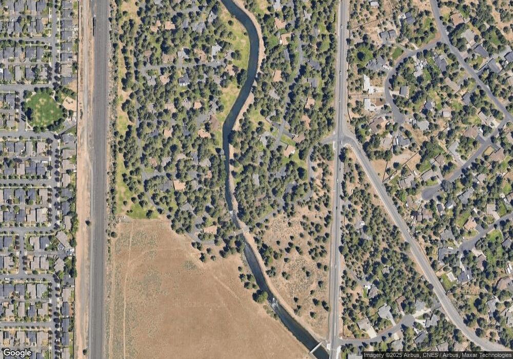
Map
Nearby Homes
- 20743 Blacksmith Cir
- 20720 Will Scarlet Ln
- 61376 Robin Hood Ln
- 61250 15th St
- 20749 Canterbury Ct
- 20886 King David Ave
- 20663 Jayhawk Ln
- 20657 Couples Ln
- 20653 Songbird Ln
- 61450 Little John Ln
- 20873 Greenmont Dr
- 20868 Tamar Ln
- 20650 Honeysuckle Ln
- 61142 Brookhollow Dr
- 20580 Klahani Dr
- 20572 Conifer Ave
- 20575 Conifer Ave
- Hawthorne Plan at Monrovia
- Pacific Plan at Monrovia
- 20592 Button Brush Ave
- 61299 Robin Hood Ln
- 61283 Robin Hood Ln
- 61284 Robin Hood Ln
- 61307 Robin Hood Ln
- 61302 Robin Hood Ln
- 20745 Blacksmith Cir
- 20744 Blacksmith Cir
- 20746 Sherwood Ct
- 61308 Robin Hood Ln
- 20742 Blacksmith Cir
- 61321 Robin Hood Ln
- 20748 Sherwood Ct
- 20743 Prince John Ct
- 20747 Prince John Ct
- 61316 Robin Hood Ln
- 20742 Sherwood Ct
- 20735 Blacksmith Cir
- 20736 Blacksmith Cir
- 20737 Prince John Ct
- 20746 Prince John Ct