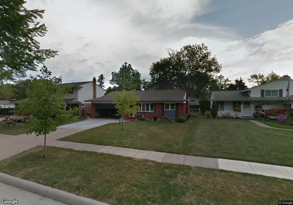
613 Ashburnham St Auburn Hills, MI 48326
Estimated Value: $264,027 - $283,000
3
Beds
2
Baths
1,212
Sq Ft
$229/Sq Ft
Est. Value
About This Home
This home is located at 613 Ashburnham St, Auburn Hills, MI 48326 and is currently estimated at $277,757, approximately $229 per square foot. 613 Ashburnham St is a home located in Oakland County with nearby schools including R. Grant Graham Elementary School, Avondale Middle School, and Avondale High School.
Ownership History
Date
Name
Owned For
Owner Type
Purchase Details
Closed on
Mar 13, 2008
Sold by
Allen Aretta O and Allen Arretta O
Bought by
Allen Charles
Current Estimated Value
Home Financials for this Owner
Home Financials are based on the most recent Mortgage that was taken out on this home.
Original Mortgage
$98,000
Outstanding Balance
$61,216
Interest Rate
5.79%
Mortgage Type
Purchase Money Mortgage
Estimated Equity
$216,541
Purchase Details
Closed on
Jun 19, 2003
Sold by
Allen Charles
Bought by
Allen Charles and Allen Aretta O
Create a Home Valuation Report for This Property
The Home Valuation Report is an in-depth analysis detailing your home's value as well as a comparison with similar homes in the area
Home Values in the Area
Average Home Value in this Area
Purchase History
| Date | Buyer | Sale Price | Title Company |
|---|---|---|---|
| Allen Charles | -- | None Available | |
| Allen Charles | -- | Metropolitan Title Company |
Source: Public Records
Mortgage History
| Date | Status | Borrower | Loan Amount |
|---|---|---|---|
| Open | Allen Charles | $98,000 |
Source: Public Records
Tax History Compared to Growth
Tax History
| Year | Tax Paid | Tax Assessment Tax Assessment Total Assessment is a certain percentage of the fair market value that is determined by local assessors to be the total taxable value of land and additions on the property. | Land | Improvement |
|---|---|---|---|---|
| 2024 | $1,067 | $103,450 | $0 | $0 |
| 2023 | $1,018 | $95,570 | $0 | $0 |
| 2022 | $1,951 | $87,810 | $0 | $0 |
| 2021 | $1,895 | $80,280 | $0 | $0 |
| 2020 | $933 | $68,910 | $0 | $0 |
| 2019 | $1,749 | $68,920 | $0 | $0 |
| 2018 | $1,711 | $71,210 | $0 | $0 |
| 2017 | $1,677 | $69,780 | $0 | $0 |
| 2016 | $1,665 | $56,430 | $0 | $0 |
| 2015 | -- | $50,360 | $0 | $0 |
| 2014 | -- | $45,160 | $0 | $0 |
| 2011 | -- | $46,550 | $0 | $0 |
Source: Public Records
Map
Nearby Homes
- 0 Oaknoll St
- 2551 Crofthill Dr
- 1564 Georgetown Place
- 1524 Georgetown Dr Unit 32
- 1522 Tannahill Ln
- 2667 Williamsburg Cir Unit 31
- 466 Rolling Rock Rd
- 833 Bloomfield Village Blvd Unit A
- 833 Bloomfield Village Blvd Unit D
- 833 Bloomfield Village Blvd Unit B
- 1987 Hunters Ridge Dr
- 870 Huntclub Blvd
- 1545 S Hill Blvd
- 1737 S Hill Blvd
- 1696 S Hill Blvd Unit 46
- 1717 Brandywine Dr
- 655 S Spinningwheel Ln
- 2931 Auburn Rd
- 3075 Waukegan St
- 34 Cross St
- 619 Ashburnham St
- 614 Provincetown Rd
- 625 Ashburnham St
- 608 Provincetown Rd
- 620 Provincetown Rd
- 2124 Hempstead Rd
- 2136 Hempstead Rd
- 626 Provincetown Rd
- 2086 Hempstead Rd
- 631 Ashburnham St
- 610 Ashburnham St
- 616 Ashburnham St
- 2150 Hempstead Rd
- 622 Ashburnham St
- 632 Provincetown Rd
- 2168 Hempstead Rd
- 637 Ashburnham St
- 628 Ashburnham St
- 2072 Hempstead Rd
- 642 Provincetown Rd