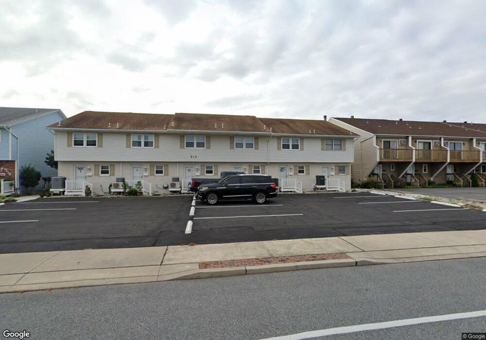
613 Bayshore Ct Unit 1 Ocean City, MD 21842
Estimated Value: $412,413 - $562,000
--
Bed
2
Baths
1,230
Sq Ft
$397/Sq Ft
Est. Value
About This Home
This home is located at 613 Bayshore Ct Unit 1, Ocean City, MD 21842 and is currently estimated at $488,103, approximately $396 per square foot. 613 Bayshore Ct Unit 1 is a home located in Worcester County with nearby schools including Ocean City Elementary School, Stephen Decatur Middle School, and Berlin Intermediate School.
Ownership History
Date
Name
Owned For
Owner Type
Purchase Details
Closed on
May 30, 1997
Sold by
Sears John H M and Sears Sandra F
Bought by
Windsor Frank Richard
Current Estimated Value
Purchase Details
Closed on
May 12, 1986
Sold by
South Palm Bay Ltd Partnership
Bought by
Sears John H M and Sears Sandra F
Home Financials for this Owner
Home Financials are based on the most recent Mortgage that was taken out on this home.
Original Mortgage
$71,900
Interest Rate
10%
Create a Home Valuation Report for This Property
The Home Valuation Report is an in-depth analysis detailing your home's value as well as a comparison with similar homes in the area
Home Values in the Area
Average Home Value in this Area
Purchase History
| Date | Buyer | Sale Price | Title Company |
|---|---|---|---|
| Windsor Frank Richard | $109,900 | -- | |
| Sears John H M | $89,900 | -- |
Source: Public Records
Mortgage History
| Date | Status | Borrower | Loan Amount |
|---|---|---|---|
| Previous Owner | Sears John H M | $71,900 | |
| Closed | Windsor Frank Richard | -- |
Source: Public Records
Tax History Compared to Growth
Tax History
| Year | Tax Paid | Tax Assessment Tax Assessment Total Assessment is a certain percentage of the fair market value that is determined by local assessors to be the total taxable value of land and additions on the property. | Land | Improvement |
|---|---|---|---|---|
| 2025 | $3,359 | $245,967 | $0 | $0 |
| 2024 | $3,175 | $227,533 | $0 | $0 |
| 2023 | $2,939 | $209,100 | $104,500 | $104,600 |
| 2022 | $2,939 | $209,100 | $104,500 | $104,600 |
| 2021 | $2,955 | $209,100 | $104,500 | $104,600 |
| 2020 | $2,954 | $209,100 | $104,500 | $104,600 |
| 2019 | $2,966 | $209,100 | $104,500 | $104,600 |
| 2018 | $2,945 | $209,100 | $104,500 | $104,600 |
| 2017 | $2,969 | $209,100 | $0 | $0 |
| 2016 | -- | $209,100 | $0 | $0 |
| 2015 | $3,351 | $209,100 | $0 | $0 |
| 2014 | $3,351 | $246,000 | $0 | $0 |
Source: Public Records
Map
Nearby Homes
- 607 Bayshore Dr Unit 2
- 608 Bayshore Ct
- 607 Osprey Rd Unit 4
- 508 Robin Dr Unit 42
- 512 Robin Dr Unit 7
- 504 Robin Dr Unit 58
- 504 Robin Dr Unit 69
- 508 Robin Dr Unit 47
- 508 Robin Dr Unit 44
- 2838 Gull Way
- 507 Robin Dr Unit 304
- 506 Lark Ln Unit 6
- 510 Penguin Dr Unit 302B
- 2807D Plover Dr Unit 4
- 507 32nd St Unit 25
- 605 Bayshore Dr Unit 22
- 2601 Gull Way Unit 28
- 424 Lark Ln
- 417 Robin Dr
- 417 Robin Dr
- 613 Bayshore Ct Unit 3
- 613 Bayshore Ct Unit 5
- 613 Bayshore Ct Unit 4
- 613 Bayshore Ct Unit 2
- 611 Bayshore Ct Unit B
- 611 Bayshore Ct Unit 628B
- 615 Bayshore Ct Unit 4
- 615 Bayshore Ct Unit 3
- 615 Bayshore Ct Unit 5
- 615 Bayshore Ct Unit 2
- 615 Bayshore Ct Unit 5
- 615 Bayshore Ct Unit 4
- 615 Bayshore Ct Unit 3
- 615 Bayshore Ct Unit 6
- 615 Bay Dr Unit 4
- 607 Bayshore Ct
- 607 Bayshore Ct Unit 6
- 607 Bayshore Dr Unit 6
- 607 Bayshore Dr Unit 4
- 614 Osprey Rd Unit E