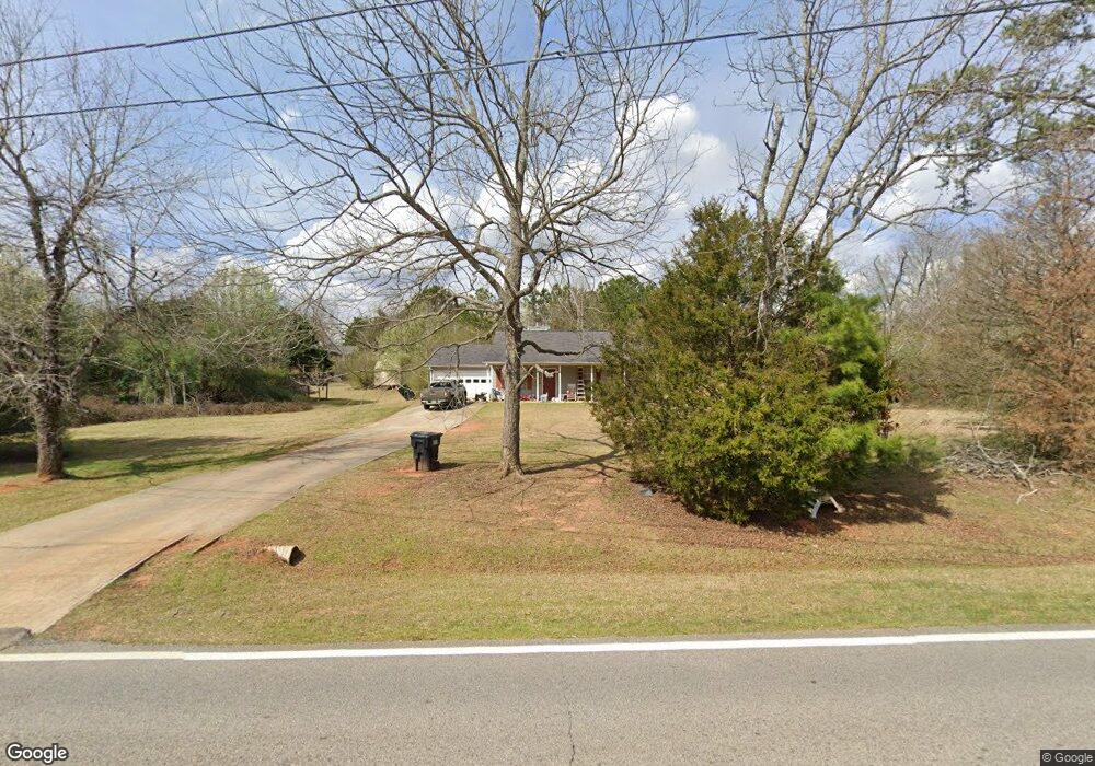
613 Coan Dr Locust Grove, GA 30248
Estimated Value: $251,000 - $264,000
3
Beds
2
Baths
1,292
Sq Ft
$201/Sq Ft
Est. Value
About This Home
This home is located at 613 Coan Dr, Locust Grove, GA 30248 and is currently estimated at $259,499, approximately $200 per square foot. 613 Coan Dr is a home located in Henry County with nearby schools including Tussahaw Elementary School, Locust Grove Middle School, and Locust Grove High School.
Ownership History
Date
Name
Owned For
Owner Type
Purchase Details
Closed on
Aug 31, 2000
Sold by
Wikle David L
Bought by
Britt Dewey W
Current Estimated Value
Home Financials for this Owner
Home Financials are based on the most recent Mortgage that was taken out on this home.
Original Mortgage
$91,769
Outstanding Balance
$33,016
Interest Rate
8.11%
Mortgage Type
FHA
Estimated Equity
$226,483
Purchase Details
Closed on
May 19, 1997
Sold by
Jerry Steele Dev Co
Bought by
Wikle David L and Thomas Wickle Elizabeth
Home Financials for this Owner
Home Financials are based on the most recent Mortgage that was taken out on this home.
Original Mortgage
$86,200
Interest Rate
8.17%
Mortgage Type
New Conventional
Create a Home Valuation Report for This Property
The Home Valuation Report is an in-depth analysis detailing your home's value as well as a comparison with similar homes in the area
Home Values in the Area
Average Home Value in this Area
Purchase History
| Date | Buyer | Sale Price | Title Company |
|---|---|---|---|
| Britt Dewey W | $92,600 | -- | |
| Wikle David L | $85,000 | -- |
Source: Public Records
Mortgage History
| Date | Status | Borrower | Loan Amount |
|---|---|---|---|
| Open | Britt Dewey W | $91,769 | |
| Previous Owner | Wikle David L | $86,200 |
Source: Public Records
Tax History Compared to Growth
Tax History
| Year | Tax Paid | Tax Assessment Tax Assessment Total Assessment is a certain percentage of the fair market value that is determined by local assessors to be the total taxable value of land and additions on the property. | Land | Improvement |
|---|---|---|---|---|
| 2025 | $2,764 | $102,080 | $15,160 | $86,920 |
| 2024 | $2,764 | $100,960 | $13,680 | $87,280 |
| 2023 | $2,260 | $97,680 | $13,160 | $84,520 |
| 2022 | $2,320 | $78,840 | $12,160 | $66,680 |
| 2021 | $1,925 | $62,120 | $10,440 | $51,680 |
| 2020 | $1,777 | $55,880 | $9,800 | $46,080 |
| 2019 | $1,675 | $51,560 | $9,320 | $42,240 |
| 2018 | $1,528 | $45,320 | $8,600 | $36,720 |
| 2016 | $1,279 | $37,600 | $6,400 | $31,200 |
| 2015 | $1,170 | $34,160 | $7,200 | $26,960 |
| 2014 | $1,023 | $30,240 | $7,200 | $23,040 |
Source: Public Records
Map
Nearby Homes
- 201 Nina Cir
- 560 Coan Dr
- 1000 Coan Dr
- 1579 S Bethany Rd
- 390 Coan Dr
- 705 Seabolt Rd
- 678 Seabolt Rd
- 435 Rabbit Run
- 521 Deadwood Trail
- 601 Amerigo Ct
- 1171 King Mill Rd
- 604 Onieda Dr
- 143 Kimbell Farm Dr
- 103 Royal Way
- 705 S Bethany Rd
- 218 Baxter Ln
- 75 Price Dr W
- 121, 125, 129 Case Dr
- 104 Waratah Dr
- 205 Calvery Way