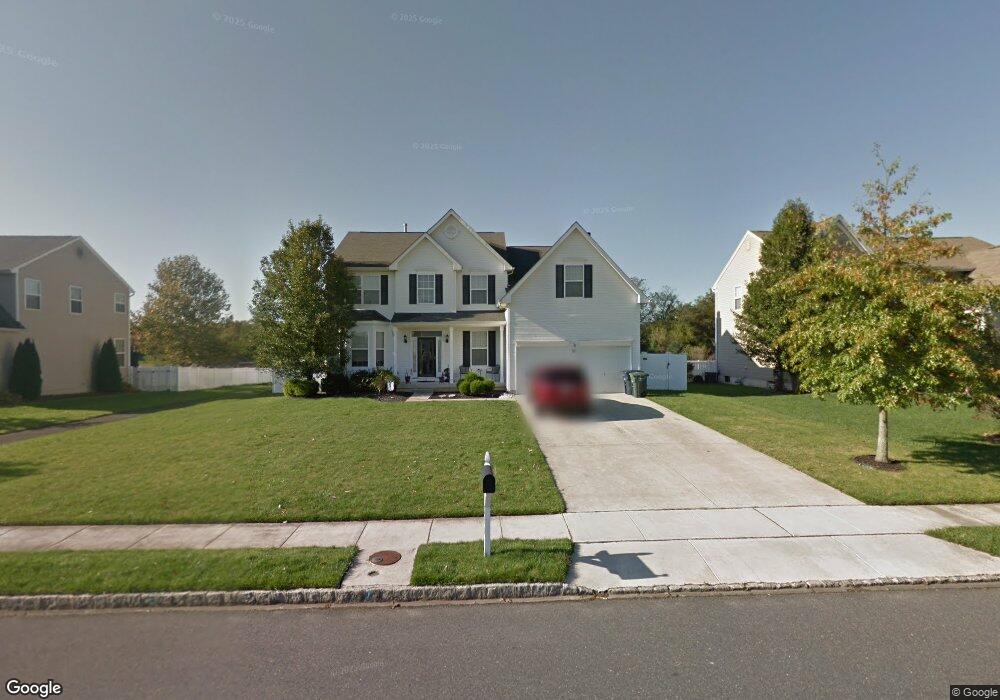
613 Ironwood Dr Williamstown, NJ 08094
Estimated Value: $564,000 - $614,000
--
Bed
--
Bath
2,794
Sq Ft
$211/Sq Ft
Est. Value
About This Home
This home is located at 613 Ironwood Dr, Williamstown, NJ 08094 and is currently estimated at $589,258, approximately $210 per square foot. 613 Ironwood Dr is a home located in Gloucester County with nearby schools including Williamstown High School, St. Mary School, and Finest of the Wheat Christian.
Ownership History
Date
Name
Owned For
Owner Type
Purchase Details
Closed on
Jul 30, 2007
Sold by
Malko John T and Malko Lauren M
Bought by
Young George and Young Stephanie
Current Estimated Value
Home Financials for this Owner
Home Financials are based on the most recent Mortgage that was taken out on this home.
Original Mortgage
$259,000
Outstanding Balance
$164,488
Interest Rate
6.72%
Mortgage Type
Purchase Money Mortgage
Estimated Equity
$424,770
Create a Home Valuation Report for This Property
The Home Valuation Report is an in-depth analysis detailing your home's value as well as a comparison with similar homes in the area
Home Values in the Area
Average Home Value in this Area
Purchase History
| Date | Buyer | Sale Price | Title Company |
|---|---|---|---|
| Young George | $359,000 | Commonwealth Land Title Insu |
Source: Public Records
Mortgage History
| Date | Status | Borrower | Loan Amount |
|---|---|---|---|
| Open | Young George | $259,000 |
Source: Public Records
Tax History Compared to Growth
Tax History
| Year | Tax Paid | Tax Assessment Tax Assessment Total Assessment is a certain percentage of the fair market value that is determined by local assessors to be the total taxable value of land and additions on the property. | Land | Improvement |
|---|---|---|---|---|
| 2025 | $11,363 | $310,300 | $53,600 | $256,700 |
| 2024 | $11,279 | $310,300 | $53,600 | $256,700 |
| 2023 | $11,279 | $310,300 | $53,600 | $256,700 |
| 2022 | $11,227 | $310,300 | $53,600 | $256,700 |
| 2021 | $11,298 | $310,300 | $53,600 | $256,700 |
| 2020 | $11,286 | $310,300 | $53,600 | $256,700 |
| 2019 | $11,217 | $310,300 | $53,600 | $256,700 |
| 2018 | $11,034 | $310,300 | $53,600 | $256,700 |
| 2017 | $10,233 | $288,900 | $70,400 | $218,500 |
| 2016 | $10,103 | $288,900 | $70,400 | $218,500 |
| 2015 | $9,814 | $288,900 | $70,400 | $218,500 |
| 2014 | $9,528 | $288,900 | $70,400 | $218,500 |
Source: Public Records
Map
Nearby Homes
- 549 Maidstone Dr
- 647 Chestnut St
- 640 Ironwood Dr
- 943 Sykesville Rd
- 632 Clayton Rd
- 30 Tool Ln
- 1017 Micawber Dr
- 308 Oak St
- 304 Thackeray Ln
- 221 Oak St
- 1008 London Cir
- 934 N Beecham Rd
- 112 Shisler Ave
- 18 Bodine Ave
- 1011 S Beecham Rd
- 520 S Main St
- 354 S Main St
- 959 S Main St
- 13 S Main St
- 366 N Tuckahoe Rd
- 609 Ironwood Dr
- 615 Ironwood Dr
- 605 Ironwood Dr
- 617 Ironwood Dr
- 561 Maidstone Dr
- 601 Ironwood Dr
- 608 Ironwood Dr
- 619 Ironwood Dr
- 604 Ironwood Dr
- 616 Ironwood Dr
- 557 Maidstone Dr
- 600 Ironwood Dr
- 623 Ironwood Dr
- 620 Ironwood Dr
- 552 Maidstone Dr
- 553 Maidstone Dr
- 624 Ironwood Dr
- 625 Ironwood Dr
- 674 Chestnut St
- 548 Maidstone Dr