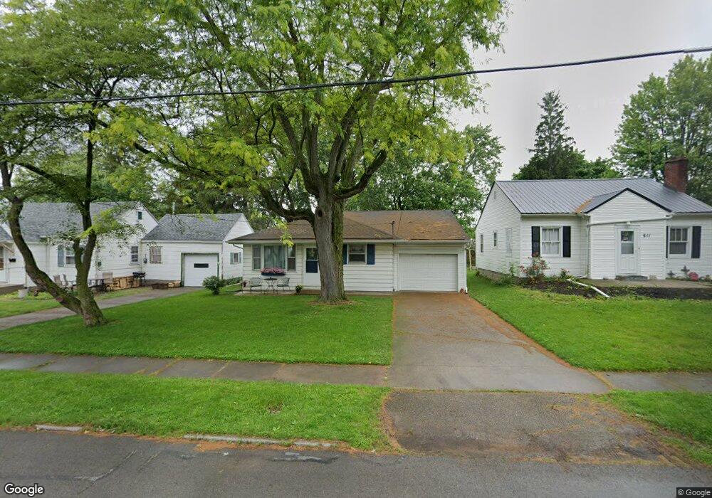
613 Liberty St van Wert, OH 45891
Estimated Value: $129,000 - $144,000
3
Beds
1
Bath
1,144
Sq Ft
$119/Sq Ft
Est. Value
About This Home
This home is located at 613 Liberty St, van Wert, OH 45891 and is currently estimated at $135,616, approximately $118 per square foot. 613 Liberty St is a home located in Van Wert County with nearby schools including Van Wert Early Childhood Center, Van Wert High School, and Lifelinks Community School.
Ownership History
Date
Name
Owned For
Owner Type
Purchase Details
Closed on
May 23, 2009
Sold by
Beck Robert E and Beck Sheryl A
Bought by
Coon Shirley
Current Estimated Value
Home Financials for this Owner
Home Financials are based on the most recent Mortgage that was taken out on this home.
Original Mortgage
$46,500
Outstanding Balance
$10,914
Interest Rate
4.85%
Mortgage Type
Purchase Money Mortgage
Estimated Equity
$124,702
Purchase Details
Closed on
Feb 13, 2009
Sold by
Estate Of Dnelle Beckler
Bought by
Beck Robert E and Sproles Karen S
Create a Home Valuation Report for This Property
The Home Valuation Report is an in-depth analysis detailing your home's value as well as a comparison with similar homes in the area
Home Values in the Area
Average Home Value in this Area
Purchase History
| Date | Buyer | Sale Price | Title Company |
|---|---|---|---|
| Coon Shirley | $36,700 | Attorney | |
| Beck Robert E | -- | None Available |
Source: Public Records
Mortgage History
| Date | Status | Borrower | Loan Amount |
|---|---|---|---|
| Open | Coon Shirley | $46,500 |
Source: Public Records
Tax History
| Year | Tax Paid | Tax Assessment Tax Assessment Total Assessment is a certain percentage of the fair market value that is determined by local assessors to be the total taxable value of land and additions on the property. | Land | Improvement |
|---|---|---|---|---|
| 2025 | $782 | $32,120 | $2,890 | $29,230 |
| 2024 | $782 | $32,120 | $2,890 | $29,230 |
| 2023 | $780 | $32,120 | $2,890 | $29,230 |
| 2022 | $603 | $23,510 | $2,140 | $21,370 |
| 2021 | $588 | $23,510 | $2,140 | $21,370 |
| 2020 | $587 | $23,510 | $2,140 | $21,370 |
| 2019 | $498 | $20,880 | $2,140 | $18,740 |
| 2018 | $480 | $20,880 | $2,140 | $18,740 |
| 2017 | $501 | $20,880 | $2,140 | $18,740 |
| 2016 | $473 | $22,010 | $2,140 | $19,870 |
| 2015 | $473 | $22,010 | $2,140 | $19,870 |
| 2014 | $468 | $22,010 | $2,140 | $19,870 |
| 2013 | $836 | $22,010 | $2,140 | $19,870 |
Source: Public Records
Map
Nearby Homes
- 610 State St
- 522 South Ave
- 836 State St
- 949 Southway St
- 960 Glenn St
- 421 Boyd Ave
- 326 Gordon Ave
- 129 S Lynn St
- 1120 Park St
- 114 S Wall St
- 1328 Kathy St
- 129 Balyeat Ave
- 631 S Washington St
- 224 Woodstock Dr
- 1312 Rye Dr
- 1060 1056 S Washington St
- 000 Lincoln Hwy
- 14934 Lincoln Hwy
- 00 Lincoln Hwy
- 255 Parkview Dr
Your Personal Tour Guide
Ask me questions while you tour the home.