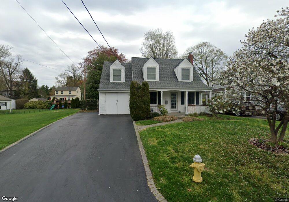
613 Maple Ct Moorestown, NJ 08057
Estimated Value: $553,000 - $824,000
Studio
--
Bath
1,557
Sq Ft
$404/Sq Ft
Est. Value
About This Home
This home is located at 613 Maple Ct, Moorestown, NJ 08057 and is currently estimated at $628,665, approximately $403 per square foot. 613 Maple Ct is a home located in Burlington County with nearby schools including George C. Baker Elementary School, Moorestown Upper Elementary School, and William Allen Middle School.
Ownership History
Date
Name
Owned For
Owner Type
Purchase Details
Closed on
Feb 3, 2017
Sold by
Johnson Eric P and Johnson Jessica
Bought by
Johnson Eric P
Current Estimated Value
Home Financials for this Owner
Home Financials are based on the most recent Mortgage that was taken out on this home.
Original Mortgage
$293,000
Outstanding Balance
$242,047
Interest Rate
4.12%
Mortgage Type
New Conventional
Estimated Equity
$386,618
Purchase Details
Closed on
Dec 28, 2001
Sold by
Lethbridge Drew J and Lethbridge Lori
Bought by
Johnson Eric P and Johnson Jessica
Home Financials for this Owner
Home Financials are based on the most recent Mortgage that was taken out on this home.
Original Mortgage
$205,155
Interest Rate
7.08%
Create a Home Valuation Report for This Property
The Home Valuation Report is an in-depth analysis detailing your home's value as well as a comparison with similar homes in the area
Home Values in the Area
Average Home Value in this Area
Purchase History
| Date | Buyer | Sale Price | Title Company |
|---|---|---|---|
| Johnson Eric P | -- | Advantage Title Llc | |
| Johnson Eric P | $227,950 | Security First Title Partner | |
| -- | $228,000 | -- |
Source: Public Records
Mortgage History
| Date | Status | Borrower | Loan Amount |
|---|---|---|---|
| Open | Johnson Eric P | $293,000 | |
| Closed | -- | $205,155 |
Source: Public Records
Tax History
| Year | Tax Paid | Tax Assessment Tax Assessment Total Assessment is a certain percentage of the fair market value that is determined by local assessors to be the total taxable value of land and additions on the property. | Land | Improvement |
|---|---|---|---|---|
| 2025 | $9,555 | $336,800 | $201,700 | $135,100 |
| 2024 | $9,265 | $336,800 | $201,700 | $135,100 |
| 2023 | $9,265 | $336,800 | $201,700 | $135,100 |
| 2022 | $9,171 | $336,800 | $201,700 | $135,100 |
| 2021 | $9,050 | $336,800 | $201,700 | $135,100 |
| 2020 | $8,993 | $336,800 | $201,700 | $135,100 |
| 2019 | $7,963 | $303,600 | $168,500 | $135,100 |
| 2018 | $7,748 | $303,600 | $168,500 | $135,100 |
| 2017 | $7,815 | $303,600 | $168,500 | $135,100 |
| 2016 | $7,787 | $303,600 | $168,500 | $135,100 |
| 2015 | $7,693 | $303,600 | $168,500 | $135,100 |
| 2014 | $6,523 | $303,600 | $168,500 | $135,100 |
Source: Public Records
Map
Nearby Homes
- 543 Bethel Ave
- 700 Lippincott Ave
- 228 Mill St
- 66 E 3rd St
- 80 E 3rd St
- 307 Fairview Ave
- 401 W 3rd St
- 133 Plum St Unit 6
- 129 S Church St
- 611 New Albany Rd
- 205 E Central Ave
- 15 W Close Unit 15
- 22 E Close Unit 22
- 10 E Close Unit 10EAST
- 127 Schooley St
- 8 S Close Unit 8
- 308 Elm St
- 444 Shady Ln
- 863 Golf View Rd
- 104 Mount Laurel Rd
- 611 Maple Ct
- 701 Maple Ct
- 609 Maple Ct
- 612 N Washington Ave
- 610 N Washington Ave
- 616 N Washington Ave
- 608 N Washington Ave
- 612 Maple Ct
- 610 Maple Ct
- 608 Maple Ct
- 606 N Washington Ave
- 115 W Maple Ave
- 111 W Maple Ave
- 117 W Spruce Ave
- 606 Maple Ct
- 620 N Washington Ave
- 121 W Maple Ave
- 122 W Spruce Ave
- 706 Maple Ct
- 604 N Washington Ave
Your Personal Tour Guide
Ask me questions while you tour the home.