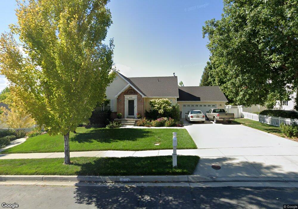
613 N 600 W American Fork, UT 84003
Estimated Value: $510,000 - $602,000
3
Beds
2
Baths
2,720
Sq Ft
$209/Sq Ft
Est. Value
About This Home
This home is located at 613 N 600 W, American Fork, UT 84003 and is currently estimated at $567,597, approximately $208 per square foot. 613 N 600 W is a home located in Utah County with nearby schools including Shelley Elementary School, American Fork Junior High School, and American Fork High School.
Ownership History
Date
Name
Owned For
Owner Type
Purchase Details
Closed on
Oct 30, 2019
Sold by
Looman Jeff M
Bought by
Looman Jeff M
Current Estimated Value
Purchase Details
Closed on
Oct 3, 2002
Sold by
Vanburen Vernon K and Vanburen Cynthia E
Bought by
Romero Cynthia D
Home Financials for this Owner
Home Financials are based on the most recent Mortgage that was taken out on this home.
Original Mortgage
$190,500
Outstanding Balance
$90,478
Interest Rate
8%
Estimated Equity
$477,119
Purchase Details
Closed on
Jan 23, 1998
Sold by
Vanburen Construction Inc
Bought by
Vanburen Vernon K and Vanburen Cynthia E
Home Financials for this Owner
Home Financials are based on the most recent Mortgage that was taken out on this home.
Original Mortgage
$133,600
Interest Rate
7.05%
Create a Home Valuation Report for This Property
The Home Valuation Report is an in-depth analysis detailing your home's value as well as a comparison with similar homes in the area
Home Values in the Area
Average Home Value in this Area
Purchase History
| Date | Buyer | Sale Price | Title Company |
|---|---|---|---|
| Looman Jeff M | -- | Old Republic Title | |
| Romero Cynthia D | -- | First American Title Co | |
| Vanburen Vernon K | -- | First American |
Source: Public Records
Mortgage History
| Date | Status | Borrower | Loan Amount |
|---|---|---|---|
| Open | Romero Cynthia D | $190,500 | |
| Previous Owner | Vanburen Vernon K | $133,600 |
Source: Public Records
Tax History Compared to Growth
Tax History
| Year | Tax Paid | Tax Assessment Tax Assessment Total Assessment is a certain percentage of the fair market value that is determined by local assessors to be the total taxable value of land and additions on the property. | Land | Improvement |
|---|---|---|---|---|
| 2025 | $2,413 | $290,895 | -- | -- |
| 2024 | $2,413 | $268,125 | $0 | $0 |
| 2023 | $2,283 | $268,950 | $0 | $0 |
| 2022 | $2,411 | $280,335 | $0 | $0 |
| 2021 | $2,066 | $375,100 | $155,100 | $220,000 |
| 2020 | $1,932 | $340,300 | $138,500 | $201,800 |
| 2019 | $1,804 | $328,500 | $128,100 | $200,400 |
| 2018 | $1,697 | $295,500 | $121,200 | $174,300 |
| 2017 | $1,609 | $151,250 | $0 | $0 |
| 2016 | $1,614 | $140,910 | $0 | $0 |
| 2015 | $1,599 | $132,550 | $0 | $0 |
| 2014 | $1,532 | $125,235 | $0 | $0 |
Source: Public Records
Map
Nearby Homes
- 742 N 700 West Cir
- 777 W State Rd
- 356 Clifton Ave
- 533 W 860 N
- 822 W 800 St N Unit LOT319
- 356 N 480 W
- 822 N 860 W Unit 317
- 272 W 690 N
- 370 W Pacific Dr Unit 1
- 901 N Lakota Rd
- 3935 W 1000 N Unit 438
- 3983 W 1000 N Unit 442
- 4007 W 1000 N
- 3947 W 1000 N Unit 439
- 3971 W 1000 N Unit 441
- 3959 W 1000 N
- 3995 W 1000 N
- 621 N 100 W
- 425 W 1120 N
- 120 N 350 W Unit 127