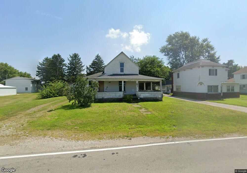
613 N Range St Wolcott, IN 47995
Estimated Value: $141,960 - $199,000
3
Beds
1
Bath
2,496
Sq Ft
$66/Sq Ft
Est. Value
About This Home
This home is located at 613 N Range St, Wolcott, IN 47995 and is currently estimated at $164,990, approximately $66 per square foot. 613 N Range St is a home located in White County with nearby schools including Tri-County Primary School, Tri-County Intermediate School, and Tri-County Jr.-Sr. High School.
Ownership History
Date
Name
Owned For
Owner Type
Purchase Details
Closed on
Mar 22, 2016
Sold by
Colonial Impact Fund Ii Llc
Bought by
Equity Trust Company Custodian
Current Estimated Value
Purchase Details
Closed on
Nov 6, 2014
Sold by
Harbour Portfolio Vi Lp
Bought by
Rocktop Properties I Lp
Purchase Details
Closed on
Nov 16, 2010
Sold by
Roberts John White Co Sheriff
Bought by
Fannie Mae Aka Federal National Mortgage
Create a Home Valuation Report for This Property
The Home Valuation Report is an in-depth analysis detailing your home's value as well as a comparison with similar homes in the area
Purchase History
| Date | Buyer | Sale Price | Title Company |
|---|---|---|---|
| Equity Trust Company Custodian | -- | Attorney Only | |
| Rocktop Properties I Lp | $10,700 | Orion Financial Group Inc | |
| Fannie Mae Aka Federal National Mortgage | $36,700 | Reisenfeld & Associates Lpa Ll |
Source: Public Records
Tax History
| Year | Tax Paid | Tax Assessment Tax Assessment Total Assessment is a certain percentage of the fair market value that is determined by local assessors to be the total taxable value of land and additions on the property. | Land | Improvement |
|---|---|---|---|---|
| 2025 | $2,112 | $106,900 | $8,200 | $98,700 |
| 2024 | $2,112 | $94,300 | $8,200 | $86,100 |
| 2023 | $1,974 | $87,200 | $9,100 | $78,100 |
| 2022 | $1,983 | $87,200 | $9,100 | $78,100 |
| 2021 | $1,612 | $70,600 | $9,100 | $61,500 |
| 2020 | $1,360 | $59,400 | $9,100 | $50,300 |
| 2019 | $1,360 | $59,400 | $9,100 | $50,300 |
| 2018 | $1,350 | $59,400 | $9,100 | $50,300 |
| 2017 | $1,345 | $58,700 | $9,100 | $49,600 |
| 2016 | $1,130 | $56,000 | $9,100 | $46,900 |
| 2014 | $1,198 | $59,400 | $9,100 | $50,300 |
Source: Public Records
Map
Nearby Homes
- 301 N Range St
- 303 N Davis St
- 125 E Johnson St
- 303 W Johnson St
- 205 W Scott St
- 507 S Range St
- 114 E North St
- 111 E South Railroad St
- 417 W Wilber St
- 380 West St
- 16188 U S 231
- 0 60 Rd E
- 107 W 4th St
- 602 E 2nd St
- 705 E 2nd St
- 8796 U S 231
- 2025 E Eger Rd
- 606 N Race St
- 502 N Pine St
- 0 Franklin and Second St Unit 202516356
- 611 N Range St
- 609 N Range St
- 614 N Burke St
- 612 N Burke St
- 607 N Range St
- 618 N Burke St
- 608 N Burke St
- 614 N Range St
- 605 N Range St
- 606 N Range St
- 120 E Sherry Ln
- 603 N Range St
- 609 N Burke St
- 604 N Range St
- 605 N Burke St
- 602 N Burke St
- 601 N Range St
- 603 N Burke St
- 602 N Range St
- 510 N Burke St
Your Personal Tour Guide
Ask me questions while you tour the home.