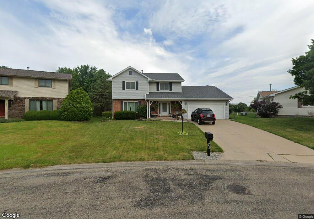
613 N Sagewood Dr Peoria, IL 61604
Norwood NeighborhoodEstimated Value: $237,901 - $263,000
4
Beds
3
Baths
2,515
Sq Ft
$100/Sq Ft
Est. Value
About This Home
This home is located at 613 N Sagewood Dr, Peoria, IL 61604 and is currently estimated at $251,725, approximately $100 per square foot. 613 N Sagewood Dr is a home located in Peoria County with nearby schools including Norwood Primary School, Norwood Elementary School, and Limestone Community High School.
Ownership History
Date
Name
Owned For
Owner Type
Purchase Details
Closed on
Jan 21, 2020
Sold by
Brooks Aaron C
Bought by
Brooks Rhonda Rae
Current Estimated Value
Home Financials for this Owner
Home Financials are based on the most recent Mortgage that was taken out on this home.
Original Mortgage
$122,300
Outstanding Balance
$108,265
Interest Rate
3.7%
Mortgage Type
New Conventional
Estimated Equity
$143,460
Purchase Details
Closed on
Jun 15, 2005
Bought by
Brooks Aaron C and Brooks Rhonda R
Create a Home Valuation Report for This Property
The Home Valuation Report is an in-depth analysis detailing your home's value as well as a comparison with similar homes in the area
Home Values in the Area
Average Home Value in this Area
Purchase History
| Date | Buyer | Sale Price | Title Company |
|---|---|---|---|
| Brooks Rhonda Rae | -- | Hometown Title | |
| Brooks Aaron C | $170,500 | -- |
Source: Public Records
Mortgage History
| Date | Status | Borrower | Loan Amount |
|---|---|---|---|
| Open | Brooks Rhonda Rae | $122,300 |
Source: Public Records
Tax History Compared to Growth
Tax History
| Year | Tax Paid | Tax Assessment Tax Assessment Total Assessment is a certain percentage of the fair market value that is determined by local assessors to be the total taxable value of land and additions on the property. | Land | Improvement |
|---|---|---|---|---|
| 2024 | $6,189 | $75,510 | $11,940 | $63,570 |
| 2023 | $5,788 | $69,920 | $11,060 | $58,860 |
| 2022 | $5,457 | $65,610 | $10,230 | $55,380 |
| 2021 | $5,252 | $63,090 | $9,840 | $53,250 |
| 2020 | $4,957 | $61,860 | $9,650 | $52,210 |
| 2019 | $4,895 | $61,860 | $9,650 | $52,210 |
| 2018 | $4,846 | $61,830 | $9,640 | $52,190 |
| 2017 | $5,013 | $62,460 | $9,740 | $52,720 |
| 2016 | $4,769 | $63,090 | $9,840 | $53,250 |
| 2015 | $4,354 | $61,860 | $9,650 | $52,210 |
| 2014 | $4,316 | $60,810 | $9,490 | $51,320 |
| 2013 | -- | $60,810 | $9,490 | $51,320 |
Source: Public Records
Map
Nearby Homes
- Lot 13 S Cameron Ln
- 7008 W Lamoine St
- 8704 W Farmington Rd
- 1606 N Boyd Ave
- 1121 N Wood Rd
- 5900 W Deluxe Blvd Unit 72
- 0 N Aspen Rd
- 5910 W Fairview Rd
- 0 N Range Rd
- 1123 S Maxwell Rd
- 0000 W Farmington Rd
- 1118 N Country Ln
- 612 S Main St
- 1801 N Taylor Rd
- 923 S Johanson Rd
- 735 N Limestone Ln
- 0 N Limestone Ln
- 523 S Anna Ave
- 6121 W Pottstown Rd
- 2400 S Cameron Ln
- 609 N Sagewood Dr
- 7531 W Sagewood Dr
- 7618 W Farmington Rd
- 605 N Sagewood Dr
- 7527 W Sagewood Dr
- 7615 W Mohawk Trail
- 606 N Sagewood Dr
- 614 N Rainbow Rd
- 614 N Rainbow Dr
- 7626 W Farmington Rd
- 7521 W Sagewood Dr
- 600 N Sagewood Dr
- 7627 W Mohawk Trail
- 7610 W Mohawk Trail
- 7515 W Sagewood Dr
- 609 N Wood Thrush Dr
- 524 N Sagewood Dr
- 7620 W Mohawk Trail
- 603 N Wood Thrush Dr