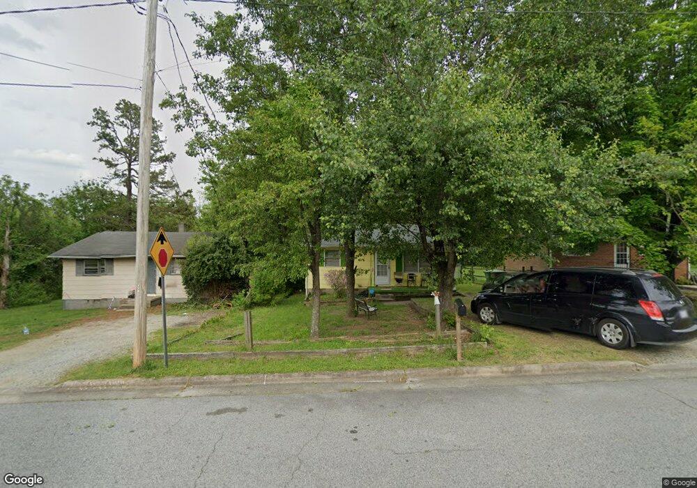
613 Paramount St High Point, NC 27260
Greater High Point NeighborhoodEstimated Value: $96,000 - $148,000
2
Beds
1
Bath
725
Sq Ft
$175/Sq Ft
Est. Value
About This Home
This home is located at 613 Paramount St, High Point, NC 27260 and is currently estimated at $126,942, approximately $175 per square foot. 613 Paramount St is a home located in Guilford County with nearby schools including Union Hill Elementary School, Jamestown Middle School, and Ragsdale High School.
Ownership History
Date
Name
Owned For
Owner Type
Purchase Details
Closed on
Jun 29, 1998
Sold by
Henry Hucks William and Henry Carolyn L
Bought by
Brown Michael D
Current Estimated Value
Home Financials for this Owner
Home Financials are based on the most recent Mortgage that was taken out on this home.
Original Mortgage
$41,053
Outstanding Balance
$8,474
Interest Rate
7.1%
Mortgage Type
FHA
Estimated Equity
$118,468
Create a Home Valuation Report for This Property
The Home Valuation Report is an in-depth analysis detailing your home's value as well as a comparison with similar homes in the area
Home Values in the Area
Average Home Value in this Area
Purchase History
| Date | Buyer | Sale Price | Title Company |
|---|---|---|---|
| Brown Michael D | $42,500 | -- |
Source: Public Records
Mortgage History
| Date | Status | Borrower | Loan Amount |
|---|---|---|---|
| Open | Brown Michael D | $41,053 | |
| Closed | Brown Michael D | $3,500 |
Source: Public Records
Tax History
| Year | Tax Paid | Tax Assessment Tax Assessment Total Assessment is a certain percentage of the fair market value that is determined by local assessors to be the total taxable value of land and additions on the property. | Land | Improvement |
|---|---|---|---|---|
| 2025 | $908 | $65,900 | $22,000 | $43,900 |
| 2024 | $908 | $65,900 | $22,000 | $43,900 |
| 2023 | $908 | $65,900 | $22,000 | $43,900 |
| 2022 | $888 | $65,900 | $22,000 | $43,900 |
| 2021 | $645 | $46,800 | $11,000 | $35,800 |
| 2020 | $645 | $46,800 | $11,000 | $35,800 |
| 2019 | $645 | $46,800 | $0 | $0 |
| 2018 | $642 | $46,800 | $0 | $0 |
| 2017 | $645 | $46,800 | $0 | $0 |
| 2016 | $690 | $49,200 | $0 | $0 |
| 2015 | $694 | $49,200 | $0 | $0 |
| 2014 | $706 | $49,200 | $0 | $0 |
Source: Public Records
Map
Nearby Homes
- 210 Paramount St
- 930 & 928 R1 Marlboro St
- 928 Marlboro St
- 2715 Central Ave
- 3304 Central Ave
- 3003 #REAR Oakcrest Ave
- 404 Hickory Chapel Rd
- 206 Paramount St
- 709 Habersham Rd
- 2305 Delaware Place
- 737 Hendrix St
- 735 Hendrix St
- 1900-1922 Baker Rd
- 3215 E Martin Luther King Junior Dr
- 430 New St
- 615 Hendrix St
- 2317 Purdy Ave
- 600 Hendrix St
- 3335 Wiliton Way
- 1908 Leonard Ave
- 615 Paramount St
- 611 Paramount St
- 617 Paramount St
- 610 Grand St
- 3006 Central Ave
- 3002 Central Ave
- 606 Grand St
- 3008 Central Ave
- 3000 Central Ave
- 612 Grand St
- 621 Paramount St
- 612 Paramount St
- 610 Paramount St
- 3012 Central Ave
- 614 Grand St
- 614 Paramount St
- 608 Paramount St
- 2914 Central Ave
- 3014 Central Ave
- 616 Paramount St
Your Personal Tour Guide
Ask me questions while you tour the home.