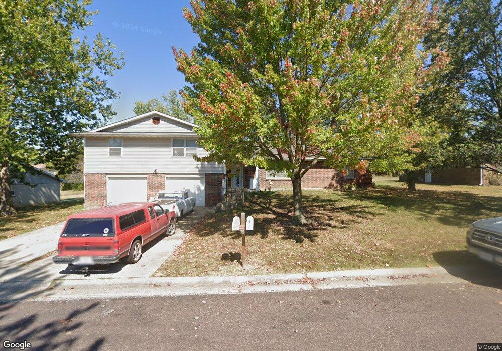
613 Pear Tree Cir Unit 615 Columbia, MO 65203
Cedar Lake NeighborhoodEstimated Value: $231,000 - $340,000
6
Beds
4
Baths
2,816
Sq Ft
$102/Sq Ft
Est. Value
About This Home
This home is located at 613 Pear Tree Cir Unit 615, Columbia, MO 65203 and is currently estimated at $287,000, approximately $101 per square foot. 613 Pear Tree Cir Unit 615 is a home located in Boone County with nearby schools including Mill Creek Elementary School, Ann Hawkins Gentry Middle School, and Rock Bridge High School.
Ownership History
Date
Name
Owned For
Owner Type
Purchase Details
Closed on
Mar 22, 2022
Sold by
Tide N Tiger Llc
Bought by
Emc Real Estate Llc
Current Estimated Value
Purchase Details
Closed on
Feb 24, 2006
Sold by
Skaggs Donald G and Skaggs Tracy
Bought by
Calton Jeremy N and Burgan Lynn
Home Financials for this Owner
Home Financials are based on the most recent Mortgage that was taken out on this home.
Original Mortgage
$146,500
Interest Rate
6.1%
Mortgage Type
VA
Create a Home Valuation Report for This Property
The Home Valuation Report is an in-depth analysis detailing your home's value as well as a comparison with similar homes in the area
Home Values in the Area
Average Home Value in this Area
Purchase History
| Date | Buyer | Sale Price | Title Company |
|---|---|---|---|
| Emc Real Estate Llc | -- | Boone Central Title | |
| Calton Jeremy N | -- | Boone Central Title Co |
Source: Public Records
Mortgage History
| Date | Status | Borrower | Loan Amount |
|---|---|---|---|
| Previous Owner | Calton Jeremy N | $146,500 |
Source: Public Records
Tax History Compared to Growth
Tax History
| Year | Tax Paid | Tax Assessment Tax Assessment Total Assessment is a certain percentage of the fair market value that is determined by local assessors to be the total taxable value of land and additions on the property. | Land | Improvement |
|---|---|---|---|---|
| 2025 | $1,863 | $28,443 | $4,237 | $24,206 |
| 2024 | $1,745 | $25,859 | $4,237 | $21,622 |
| 2023 | $1,730 | $25,859 | $4,237 | $21,622 |
| 2022 | $1,662 | $24,871 | $4,237 | $20,634 |
| 2021 | $1,665 | $24,871 | $4,237 | $20,634 |
| 2020 | $1,641 | $23,024 | $4,237 | $18,787 |
| 2019 | $1,641 | $23,024 | $4,237 | $18,787 |
| 2018 | $1,530 | $0 | $0 | $0 |
| 2017 | $1,511 | $21,318 | $4,237 | $17,081 |
| 2016 | $1,509 | $21,318 | $4,237 | $17,081 |
| 2015 | $1,386 | $21,318 | $4,237 | $17,081 |
| 2014 | -- | $21,318 | $4,237 | $17,081 |
Source: Public Records
Map
Nearby Homes
- 1101 W Southampton Dr
- 4520 E Bridgewood Dr
- LOT 136 Clear Creek Estates
- LOT 129 Clear Creek Estates
- LOT 101 Clear Creek Estates
- 4301 Forum Blvd
- LOT 128 Clear Creek Estates
- 4103 Nashua Ct
- 525 W Bethel Dr
- 504 Dustin Dr
- 1317 Troon Dr
- 4506 Kirkdale Ct
- 109 Seville Ave Unit A & B
- 809 Rutland Dr
- 301 E Old Plank Rd
- 1707 Brookfield Manor
- 1308 Vintage Dr
- 1421 Torrey Pines Dr
- 5411 Heath Ct
- 1714 Worcester Ln
- 613-615 Pear Tree Cir
- 605 Pear Tree Cir
- 603 Pear Tree Cir Unit 605
- 623 Pear Tree Cir Unit 625
- 4658 Southampton Ct Unit 4660
- 622 Pear Tree Cir Unit 624
- 622-624 Pear Tree Cir
- 612 Pear Tree Cir Unit 614
- 633 Pear Tree Cir Unit 635
- 543 Pear Tree Cir Unit 545
- 633-635 Pear Tree Cir
- 4657 Southampton Ct Unit 4659
- 545 Pear Tree Cir
- 632 Pear Tree Cir Unit 634
- 632-634 Pear Tree Cir
- 632-634 Pear Tree Cir Unit 632-634
- 602 Pear Tree Cir Unit 604
- 602-604 Pear Tree Cir
- 4634 Southampton Ct
- 523 Pear Tree Cir Unit 525