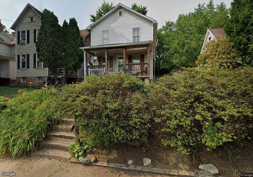
613 Phillips St Marietta, OH 45750
Estimated Value: $76,000 - $157,000
3
Beds
2
Baths
1,680
Sq Ft
$71/Sq Ft
Est. Value
About This Home
This home is located at 613 Phillips St, Marietta, OH 45750 and is currently estimated at $119,919, approximately $71 per square foot. 613 Phillips St is a home located in Washington County with nearby schools including Marietta High School and Wood County Christian School.
Ownership History
Date
Name
Owned For
Owner Type
Purchase Details
Closed on
Aug 13, 2021
Sold by
Traver Barry E
Bought by
Traver Timothy A
Current Estimated Value
Purchase Details
Closed on
Jul 17, 1998
Bought by
Traver Barry E
Purchase Details
Closed on
Jun 16, 1995
Bought by
Pennington Eric
Purchase Details
Closed on
Nov 12, 1987
Create a Home Valuation Report for This Property
The Home Valuation Report is an in-depth analysis detailing your home's value as well as a comparison with similar homes in the area
Home Values in the Area
Average Home Value in this Area
Purchase History
| Date | Buyer | Sale Price | Title Company |
|---|---|---|---|
| Traver Timothy A | $40,000 | None Available | |
| Traver Barry E | $107,000 | -- | |
| Pennington Eric | $25,000 | -- | |
| -- | $23,600 | -- |
Source: Public Records
Tax History Compared to Growth
Tax History
| Year | Tax Paid | Tax Assessment Tax Assessment Total Assessment is a certain percentage of the fair market value that is determined by local assessors to be the total taxable value of land and additions on the property. | Land | Improvement |
|---|---|---|---|---|
| 2024 | $955 | $28,120 | $4,340 | $23,780 |
| 2023 | $955 | $28,120 | $4,340 | $23,780 |
| 2022 | $949 | $28,120 | $4,340 | $23,780 |
| 2021 | $687 | $19,250 | $3,760 | $15,490 |
| 2020 | $691 | $19,250 | $3,760 | $15,490 |
| 2019 | $689 | $19,250 | $3,760 | $15,490 |
| 2018 | $617 | $16,730 | $3,140 | $13,590 |
| 2017 | $616 | $16,730 | $3,140 | $13,590 |
| 2016 | $1,074 | $16,730 | $3,140 | $13,590 |
| 2015 | $632 | $16,430 | $3,240 | $13,190 |
| 2014 | $1,056 | $16,430 | $3,240 | $13,190 |
| 2013 | $627 | $16,430 | $3,240 | $13,190 |
Source: Public Records
Map
Nearby Homes
- 161 Woodland Ave
- 0 Greene St
- 150 Wells Ave
- 921 Greene St
- 1005 Greene St
- 1117 Greene St
- 210 Phillips St
- 3740 Ohio 26
- 15999 Ohio 26
- 201 E Spring St
- 779 Buckeye Ave
- 0 Shade St
- 939 Pike St
- 0 Charles St Unit 225028714
- 0 Charles St Unit 5144598
- 0 0 State Route 26 Rear Oh
- 211 Meigs St
- 505 Charles St
- 0 Ohio 26 Unit LotWP001 23010810
- 308 Gross Ave and Clifton St
- 609 Phillips St
- 617 Phillips St
- 603 Phillips St
- 619 Phillips St
- 624 Phillips St
- 112 Warner St
- 606 Phillips St
- 601 Phillips St
- 604 Phillips St
- 627 Phillips St
- 626 1/2 Phillips St
- 626 Phillips St
- 602 Phillips St
- 115 Woods Ln
- 628 Phillips St
- 629 Phillips St
- 600 Phillips St
- 630 Phillips St
- 116 Warner St
- 522 Phillips St