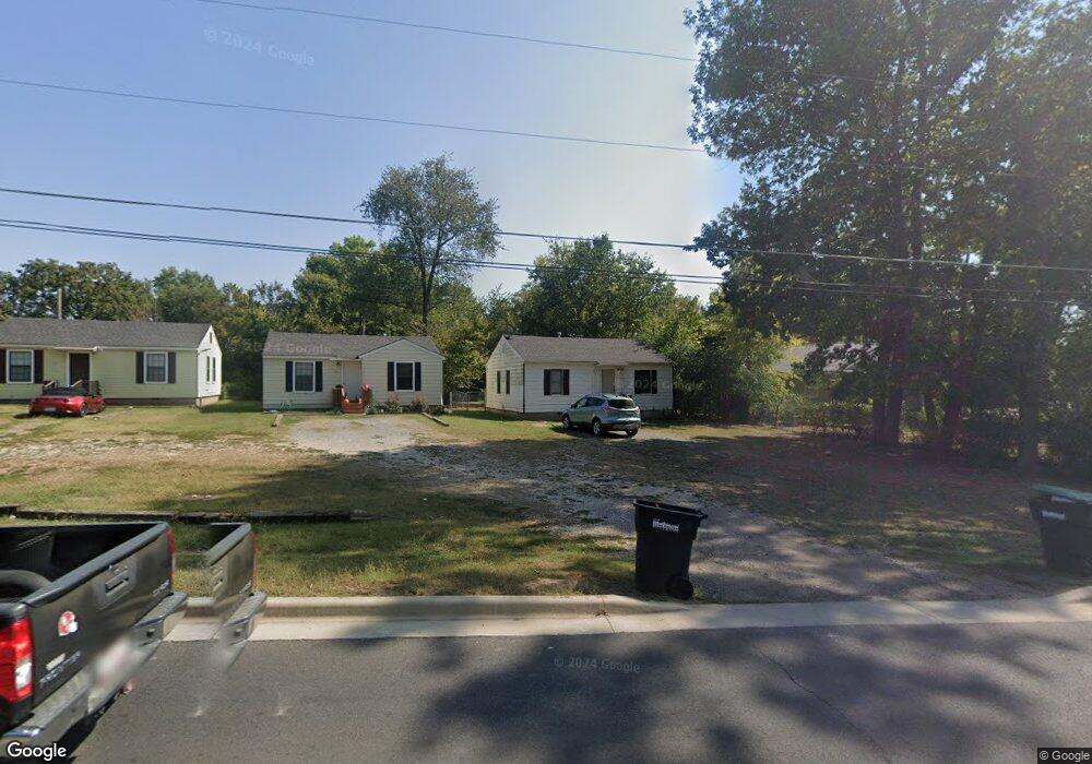
613 S Bluff Ave Tahlequah, OK 74464
Estimated Value: $117,000 - $142,000
3
Beds
1
Bath
880
Sq Ft
$142/Sq Ft
Est. Value
About This Home
This home is located at 613 S Bluff Ave, Tahlequah, OK 74464 and is currently estimated at $125,047, approximately $142 per square foot. 613 S Bluff Ave is a home located in Cherokee County with nearby schools including Greenwood Elementary School, Cherokee Elementary School, and Tahlequah Middle School.
Ownership History
Date
Name
Owned For
Owner Type
Purchase Details
Closed on
Jul 19, 2022
Sold by
Carolyn J Littleton Living Trust
Bought by
Cole Rylee
Current Estimated Value
Home Financials for this Owner
Home Financials are based on the most recent Mortgage that was taken out on this home.
Original Mortgage
$104,040
Outstanding Balance
$98,960
Interest Rate
5.23%
Mortgage Type
New Conventional
Estimated Equity
$26,087
Purchase Details
Closed on
May 4, 2022
Sold by
Orr and Ruth
Bought by
Roderick Christian S and Roderick Leah
Home Financials for this Owner
Home Financials are based on the most recent Mortgage that was taken out on this home.
Original Mortgage
$116,800
Interest Rate
5.1%
Purchase Details
Closed on
Oct 31, 1994
Sold by
Martha Griffith
Bought by
Herbert and Littleton C
Create a Home Valuation Report for This Property
The Home Valuation Report is an in-depth analysis detailing your home's value as well as a comparison with similar homes in the area
Home Values in the Area
Average Home Value in this Area
Purchase History
| Date | Buyer | Sale Price | Title Company |
|---|---|---|---|
| Cole Rylee | $95,000 | New Title Company Name | |
| Roderick Christian S | -- | New Title Company Name | |
| Herbert | $13,000 | -- |
Source: Public Records
Mortgage History
| Date | Status | Borrower | Loan Amount |
|---|---|---|---|
| Open | Cole Rylee | $104,040 | |
| Previous Owner | Roderick Christian S | $116,800 |
Source: Public Records
Tax History Compared to Growth
Tax History
| Year | Tax Paid | Tax Assessment Tax Assessment Total Assessment is a certain percentage of the fair market value that is determined by local assessors to be the total taxable value of land and additions on the property. | Land | Improvement |
|---|---|---|---|---|
| 2025 | $893 | $9,087 | $1,054 | $8,033 |
| 2024 | $893 | $9,426 | $1,054 | $8,372 |
| 2023 | $893 | $11,126 | $697 | $10,429 |
| 2022 | $983 | $10,597 | $668 | $9,929 |
| 2021 | $1,272 | $13,659 | $1,227 | $12,432 |
| 2020 | $1,233 | $13,009 | $1,169 | $11,840 |
| 2019 | $1,164 | $12,389 | $1,113 | $11,276 |
| 2018 | $1,122 | $11,799 | $1,211 | $10,588 |
| 2017 | $1,066 | $11,237 | $1,154 | $10,083 |
| 2016 | $1,022 | $10,703 | $1,099 | $9,604 |
| 2015 | $914 | $10,193 | $1,093 | $9,100 |
| 2014 | $914 | $9,708 | $1,364 | $8,344 |
Source: Public Records
Map
Nearby Homes
- 201 Sandy Cir
- 306 Short St
- 757 S Bluff Ave
- 528 S Muskogee Ave
- 413 Greenwood Dr
- 403 S Bluff Ave
- 508 Covington Place
- 215 S Maple Ave
- 802 S College Ave
- 510 S Cherokee Ave
- 605 S Oak Ave
- 821 S College Ave
- 224 W Chickasaw St
- 281 Redbud Ln
- 513 S State Ave
- 720 S East Ave
- 1105 S Maple Ave
- 104 Tommye Ln
- 516 W Fox St
- 321 W Shawnee St
- 601 S Bluff Ave
- 702 Brentwood Dr
- 309 E South St
- 320 E South St
- 704 Brentwood Dr
- 322 E South St
- 703 Brentwood Dr
- 311 E South St
- 317 E South St
- 319 E South St
- 705 Brentwood Dr
- 324 E South St
- 321 E South St
- 607 S Bluff Ave
- 708 Brentwood Dr
- 706 Brentwood Dr
- 417 S Bluff Ave
- 707 Brentwood Dr
- 504 S Water Ave