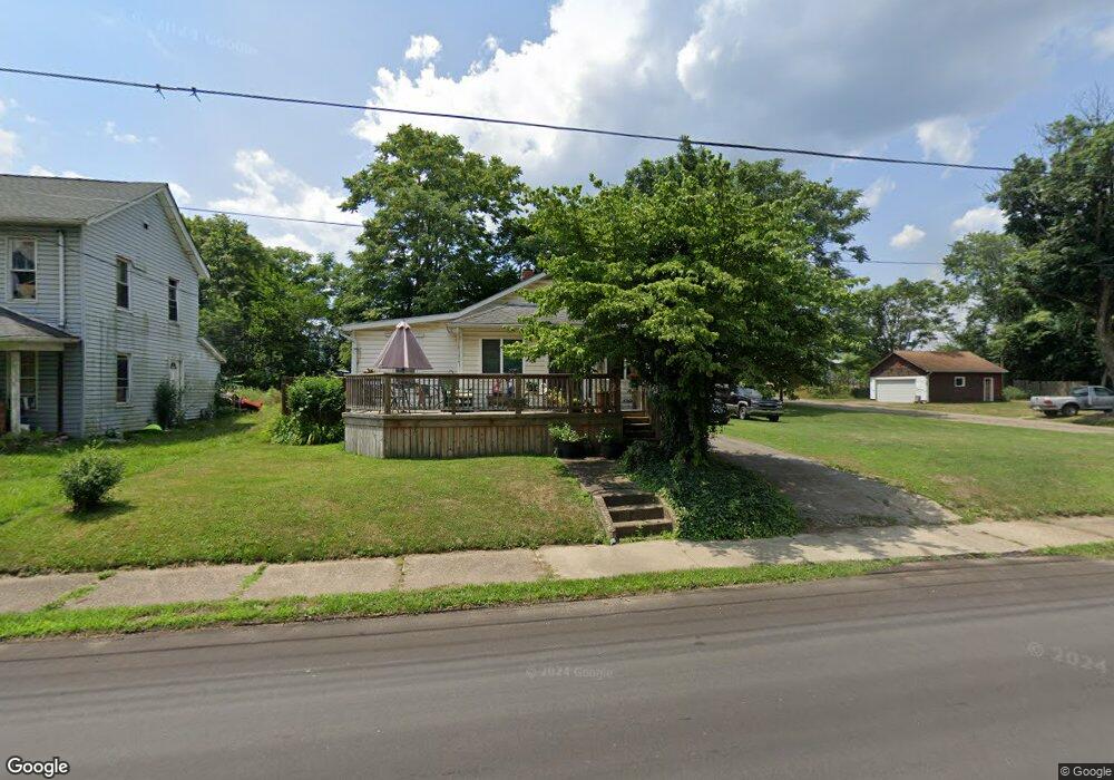
613 S Mahoning Ave Alliance, OH 44601
Estimated Value: $68,000 - $92,000
1
Bed
1
Bath
760
Sq Ft
$104/Sq Ft
Est. Value
About This Home
This home is located at 613 S Mahoning Ave, Alliance, OH 44601 and is currently estimated at $78,704, approximately $103 per square foot. 613 S Mahoning Ave is a home located in Stark County with nearby schools including Alliance Intermediate School at Northside, Alliance Elementary School at Rockhill, and Alliance Middle School.
Ownership History
Date
Name
Owned For
Owner Type
Purchase Details
Closed on
Jul 19, 1996
Sold by
Dixon Bob
Bought by
Lozoya Pearl I
Current Estimated Value
Home Financials for this Owner
Home Financials are based on the most recent Mortgage that was taken out on this home.
Original Mortgage
$23,545
Interest Rate
10%
Mortgage Type
New Conventional
Purchase Details
Closed on
Nov 13, 1995
Sold by
Layne James L
Bought by
Dixon Bob and Dixon Mary
Purchase Details
Closed on
Aug 4, 1994
Sold by
Layne Sandra J
Bought by
Blank Jeanette
Create a Home Valuation Report for This Property
The Home Valuation Report is an in-depth analysis detailing your home's value as well as a comparison with similar homes in the area
Home Values in the Area
Average Home Value in this Area
Purchase History
| Date | Buyer | Sale Price | Title Company |
|---|---|---|---|
| Lozoya Pearl I | $27,700 | -- | |
| Dixon Bob | $26,000 | -- | |
| Blank Jeanette | $7,600 | -- |
Source: Public Records
Mortgage History
| Date | Status | Borrower | Loan Amount |
|---|---|---|---|
| Closed | Lozoya Pearl I | $23,545 |
Source: Public Records
Tax History Compared to Growth
Tax History
| Year | Tax Paid | Tax Assessment Tax Assessment Total Assessment is a certain percentage of the fair market value that is determined by local assessors to be the total taxable value of land and additions on the property. | Land | Improvement |
|---|---|---|---|---|
| 2025 | -- | $19,780 | $3,290 | $16,490 |
| 2024 | -- | $19,780 | $3,290 | $16,490 |
| 2023 | $445 | $10,820 | $950 | $9,870 |
| 2022 | $448 | $10,820 | $950 | $9,870 |
| 2021 | $450 | $10,820 | $950 | $9,870 |
| 2020 | $408 | $9,180 | $810 | $8,370 |
| 2019 | $403 | $9,180 | $810 | $8,370 |
| 2018 | $405 | $9,180 | $810 | $8,370 |
| 2017 | $368 | $8,200 | $670 | $7,530 |
| 2016 | $371 | $8,200 | $670 | $7,530 |
| 2015 | $374 | $8,200 | $670 | $7,530 |
| 2014 | $131 | $2,730 | $630 | $2,100 |
| 2013 | $65 | $2,730 | $630 | $2,100 |
Source: Public Records
Map
Nearby Homes
- 22841 Lake Park Blvd
- 831 Wade Ave
- 442 S Liberty Ave
- 814 Milner St
- 1233 Woodland Ave
- 548 E High St
- 1044 S Liberty Ave
- V/L S Fredeom Ave
- 452 E Summit St
- 432 S Linden Ave
- 404 S Linden Ave
- 1005 S Freedom Ave
- 328 N Webb Ave
- 729 Waugh St
- 361 E Main St
- 834 Devine St
- 652 N Webb Ave
- 167 11th St
- 1437 S Linden Ave
- 427 S Union Ave
- 631 S Mahoning Ave
- 545 S Mahoning Ave
- 604 S Mahoning Ave
- 632 S Mahoning Ave
- 634 S Mahoning Ave
- 529 S Mahoning Ave
- 638 S Mahoning Ave
- 656 Willow Ave
- 654 S Mahoning Ave
- 530 S Mahoning Ave
- 666 Willow Ave
- 1423 E Oxford St
- 1415 E Oxford St
- 1422 E Summit St
- 1404 E Summit St
- 510 S Mahoning Ave
- 500 S Mahoning Ave
- 429 S Mahoning Ave
- 1420 E Oxford St
- 425 S Mahoning Ave