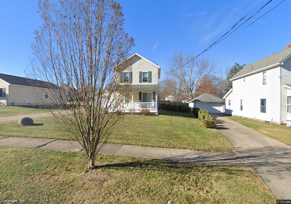
613 S Vine St Orrville, OH 44667
Estimated Value: $200,000 - $231,000
3
Beds
2
Baths
1,200
Sq Ft
$180/Sq Ft
Est. Value
About This Home
This home is located at 613 S Vine St, Orrville, OH 44667 and is currently estimated at $216,366, approximately $180 per square foot. 613 S Vine St is a home with nearby schools including Orrville Elementary School, Orrville Middle School, and Orrville High School.
Ownership History
Date
Name
Owned For
Owner Type
Purchase Details
Closed on
Jul 22, 2011
Sold by
Habitat For Humanity In Wayne County Inc
Bought by
Bratcher Angela D
Current Estimated Value
Home Financials for this Owner
Home Financials are based on the most recent Mortgage that was taken out on this home.
Original Mortgage
$57,780
Outstanding Balance
$32,910
Interest Rate
4.53%
Mortgage Type
Unknown
Estimated Equity
$183,456
Purchase Details
Closed on
Oct 22, 2008
Sold by
The Board Of Education Of Orrville City
Bought by
Habitat For Humanity In Wayne County Inc
Create a Home Valuation Report for This Property
The Home Valuation Report is an in-depth analysis detailing your home's value as well as a comparison with similar homes in the area
Home Values in the Area
Average Home Value in this Area
Purchase History
| Date | Buyer | Sale Price | Title Company |
|---|---|---|---|
| Bratcher Angela D | $119,000 | None Available | |
| Habitat For Humanity In Wayne County Inc | -- | Attorney |
Source: Public Records
Mortgage History
| Date | Status | Borrower | Loan Amount |
|---|---|---|---|
| Open | Bratcher Angela D | $57,780 |
Source: Public Records
Tax History Compared to Growth
Tax History
| Year | Tax Paid | Tax Assessment Tax Assessment Total Assessment is a certain percentage of the fair market value that is determined by local assessors to be the total taxable value of land and additions on the property. | Land | Improvement |
|---|---|---|---|---|
| 2024 | $2,663 | $63,160 | $14,360 | $48,800 |
| 2023 | $2,663 | $63,160 | $14,360 | $48,800 |
| 2022 | $2,168 | $46,100 | $10,480 | $35,620 |
| 2021 | $2,226 | $46,100 | $10,480 | $35,620 |
| 2020 | $2,250 | $46,100 | $10,480 | $35,620 |
| 2019 | $2,206 | $43,690 | $9,900 | $33,790 |
| 2018 | $2,221 | $43,690 | $9,900 | $33,790 |
| 2017 | $2,226 | $43,690 | $9,900 | $33,790 |
| 2016 | $2,184 | $42,080 | $9,900 | $32,180 |
| 2015 | $2,145 | $42,080 | $9,900 | $32,180 |
| 2014 | $2,145 | $42,080 | $9,900 | $32,180 |
| 2013 | $1,949 | $36,980 | $4,800 | $32,180 |
Source: Public Records
Map
Nearby Homes
- 603 S Main St
- 408 W Paradise St
- 122 E Paradise St
- 519 Beaver St Unit 16
- 600 E Paradise St
- 548 Center St
- 603 W Market St
- 217 Hall St
- 214 Fair St
- 712 Homestead Pointe Dr
- 214 Westwood Ave
- 120 Westwood Ave
- 620 W High St
- 210 Mohican Ave
- V/L Burton City Rd
- 1705 W Hill Dr
- 437 Danvers Ct
- 417 Danvers Ct
- 205 N Crown Hill Rd
- 224 Smucker St