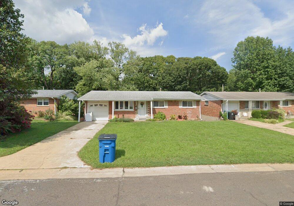
613 Suntide Dr Saint Louis, MO 63125
Mehlville NeighborhoodEstimated Value: $222,000 - $257,000
2
Beds
2
Baths
1,064
Sq Ft
$226/Sq Ft
Est. Value
About This Home
This home is located at 613 Suntide Dr, Saint Louis, MO 63125 and is currently estimated at $240,299, approximately $225 per square foot. 613 Suntide Dr is a home located in St. Louis County with nearby schools including Forder Elementary School, Margaret Buerkle Middle School, and Mehlville High School.
Ownership History
Date
Name
Owned For
Owner Type
Purchase Details
Closed on
Apr 6, 2012
Sold by
The Marguerite Reiner Revocable Living T
Bought by
Churchill Megan
Current Estimated Value
Home Financials for this Owner
Home Financials are based on the most recent Mortgage that was taken out on this home.
Original Mortgage
$112,084
Outstanding Balance
$79,183
Interest Rate
4.4%
Mortgage Type
FHA
Estimated Equity
$161,116
Purchase Details
Closed on
Jun 1, 2001
Sold by
Reiner Marguerite
Bought by
Marguerite Reiner Revocable Living Trust
Create a Home Valuation Report for This Property
The Home Valuation Report is an in-depth analysis detailing your home's value as well as a comparison with similar homes in the area
Home Values in the Area
Average Home Value in this Area
Purchase History
| Date | Buyer | Sale Price | Title Company |
|---|---|---|---|
| Churchill Megan | $115,000 | Investors Title Co Clayton | |
| Marguerite Reiner Revocable Living Trust | -- | -- |
Source: Public Records
Mortgage History
| Date | Status | Borrower | Loan Amount |
|---|---|---|---|
| Open | Churchill Megan | $112,084 |
Source: Public Records
Tax History
| Year | Tax Paid | Tax Assessment Tax Assessment Total Assessment is a certain percentage of the fair market value that is determined by local assessors to be the total taxable value of land and additions on the property. | Land | Improvement |
|---|---|---|---|---|
| 2025 | $2,514 | $37,410 | $15,430 | $21,980 |
| 2024 | $2,514 | $37,290 | $8,490 | $28,800 |
| 2023 | $2,482 | $37,290 | $8,490 | $28,800 |
| 2022 | $2,047 | $30,850 | $8,490 | $22,360 |
| 2021 | $1,982 | $30,850 | $8,490 | $22,360 |
| 2020 | $1,870 | $27,660 | $10,030 | $17,630 |
| 2019 | $1,864 | $27,660 | $10,030 | $17,630 |
| 2018 | $1,647 | $22,020 | $6,800 | $15,220 |
| 2016 | $1,617 | $20,770 | $5,090 | $15,680 |
Source: Public Records
Map
Nearby Homes
- 701 Chevron Dr
- 105 Sylvia Dr
- 2956 Chevron Dr
- 767 Paschal Dr
- 2715 Creekwood Manor Ln
- 145 Jefferson Barracks Rd
- 660 Rochester Dr
- 1030 Camelot Gardens Dr
- 205 Grover Rd
- 2844 Westlawn St
- 851 Poplar Dr
- 615 Reavis Barracks Rd
- 2555 Brush Ct
- 508 Nannette Dr
- 838 Middleboro Dr
- 317 Tacoma Dr
- 3618 Tracey Rich Rd Unit 1B
- 1239 Gardens Circle Dr Unit I
- 1287 Gardens Circle Dr Unit 2B
- 1021 Adworth Dr Unit J
Your Personal Tour Guide
Ask me questions while you tour the home.