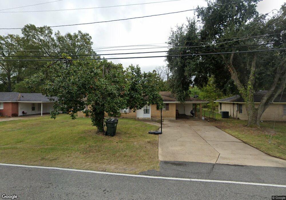
613 Travis St West Monroe, LA 71291
Estimated Value: $90,000 - $150,000
3
Beds
1
Bath
1,410
Sq Ft
$85/Sq Ft
Est. Value
About This Home
This home is located at 613 Travis St, West Monroe, LA 71291 and is currently estimated at $119,442, approximately $84 per square foot. 613 Travis St is a home located in Ouachita Parish with nearby schools including Boley Elementary School, Good Hope Middle School, and West Monroe High School.
Ownership History
Date
Name
Owned For
Owner Type
Purchase Details
Closed on
Oct 31, 2012
Sold by
The Lavaughan Kirkham And Dorothty L Kir and Kirkham Dorothy L
Bought by
Norman Willie Andrew
Current Estimated Value
Home Financials for this Owner
Home Financials are based on the most recent Mortgage that was taken out on this home.
Original Mortgage
$70,695
Outstanding Balance
$49,105
Interest Rate
3.5%
Mortgage Type
FHA
Estimated Equity
$70,337
Purchase Details
Closed on
Jun 17, 2005
Sold by
Kirkham Dorothy L
Bought by
Kirkham Dorothy L and The Lavaughan Kirkham And Dorothy L Kirk
Create a Home Valuation Report for This Property
The Home Valuation Report is an in-depth analysis detailing your home's value as well as a comparison with similar homes in the area
Home Values in the Area
Average Home Value in this Area
Purchase History
| Date | Buyer | Sale Price | Title Company |
|---|---|---|---|
| Norman Willie Andrew | $72,000 | Mullens Price/North Delta Ti | |
| Kirkham Dorothy L | $75,000 | None Available | |
| Kirkham Dorothy L | $75,000 | None Available |
Source: Public Records
Mortgage History
| Date | Status | Borrower | Loan Amount |
|---|---|---|---|
| Open | Norman Willie Andrew | $70,695 |
Source: Public Records
Tax History Compared to Growth
Tax History
| Year | Tax Paid | Tax Assessment Tax Assessment Total Assessment is a certain percentage of the fair market value that is determined by local assessors to be the total taxable value of land and additions on the property. | Land | Improvement |
|---|---|---|---|---|
| 2024 | $623 | $7,500 | $1,200 | $6,300 |
| 2023 | $623 | $7,500 | $1,200 | $6,300 |
| 2022 | $614 | $7,500 | $1,200 | $6,300 |
| 2021 | $614 | $7,500 | $1,200 | $6,300 |
| 2020 | $614 | $7,500 | $1,200 | $6,300 |
| 2019 | $601 | $7,500 | $1,200 | $6,300 |
| 2018 | $601 | $7,500 | $1,200 | $6,300 |
| 2017 | $541 | $6,750 | $1,080 | $5,670 |
| 2016 | $451 | $7,500 | $1,200 | $6,300 |
| 2015 | $64 | $7,500 | $1,200 | $6,300 |
| 2014 | $64 | $7,500 | $1,200 | $6,300 |
| 2013 | $64 | $7,500 | $1,200 | $6,300 |
Source: Public Records
Map
Nearby Homes
- 1206 N 4th St
- 1206 N 4th St Unit Cherry Street
- 409 Travis St
- 1211 Parnell St
- 403 Drew Ave Unit 405,407,409,411
- 1717 N 7th St
- 304 Medorah Dr
- 600 Trenton St
- 1109 Trenton St
- 1505 Trenton St
- 1910 N 7th St
- 210 Claiborne St
- 0 and 706 N 4th St Unit Stella Street
- 122 Copley St
- 100 Rochelle Ave
- 706 Trenton St Unit 6
- 201 Rochelle Ave
- 119 Glenmar Ave
- 201 Auburn Ave
- 118 Glenmar Ave