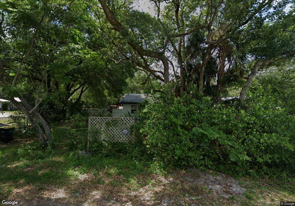
613 W Date St W Lake Wales, FL 33859
Southeast Winterhaven NeighborhoodEstimated Value: $123,000 - $167,000
2
Beds
1
Bath
768
Sq Ft
$181/Sq Ft
Est. Value
About This Home
This home is located at 613 W Date St W, Lake Wales, FL 33859 and is currently estimated at $138,715, approximately $180 per square foot. 613 W Date St W is a home with nearby schools including Kruse Elementary School, Olander Elementary School, and O'Dea Elementary School.
Ownership History
Date
Name
Owned For
Owner Type
Purchase Details
Closed on
Jan 25, 2022
Sold by
Trimm Jay R
Bought by
Robert E Leverett & Associates Inc
Current Estimated Value
Purchase Details
Closed on
Nov 22, 2005
Sold by
Righton Harry
Bought by
Trimm Jay R
Home Financials for this Owner
Home Financials are based on the most recent Mortgage that was taken out on this home.
Original Mortgage
$61,110
Interest Rate
6%
Mortgage Type
Fannie Mae Freddie Mac
Purchase Details
Closed on
Apr 29, 2005
Sold by
Luther Emma Jean and Luther Morris S
Bought by
Righton Harry
Create a Home Valuation Report for This Property
The Home Valuation Report is an in-depth analysis detailing your home's value as well as a comparison with similar homes in the area
Home Values in the Area
Average Home Value in this Area
Purchase History
| Date | Buyer | Sale Price | Title Company |
|---|---|---|---|
| Robert E Leverett & Associates Inc | $99,900 | -- | |
| Trimm Jay R | $67,900 | America Title Services Of Po | |
| Righton Harry | $20,000 | Security Title Of Indian Riv |
Source: Public Records
Mortgage History
| Date | Status | Borrower | Loan Amount |
|---|---|---|---|
| Previous Owner | Trimm Jay R | $61,110 |
Source: Public Records
Tax History Compared to Growth
Tax History
| Year | Tax Paid | Tax Assessment Tax Assessment Total Assessment is a certain percentage of the fair market value that is determined by local assessors to be the total taxable value of land and additions on the property. | Land | Improvement |
|---|---|---|---|---|
| 2025 | $1,395 | $56,937 | $4,508 | $52,429 |
| 2024 | $1,180 | $56,663 | -- | -- |
| 2023 | $1,180 | $51,512 | $4,347 | $47,165 |
| 2022 | $983 | $31,795 | $0 | $0 |
| 2021 | $801 | $21,650 | $0 | $0 |
| 2020 | $753 | $26,231 | $3,139 | $23,092 |
| 2018 | $677 | $24,134 | $2,978 | $21,156 |
| 2017 | $605 | $14,787 | $0 | $0 |
| 2016 | $562 | $14,443 | $0 | $0 |
| 2015 | $213 | $14,072 | $0 | $0 |
| 2014 | $499 | $13,069 | $0 | $0 |
Source: Public Records
Map
Nearby Homes
- 656 W Date St W
- 815 Oak St
- 0 Henry St
- 915 C F Kinney Rd
- 219 Sheila Ln
- 0 C F Kinney Rd Unit A11686511
- 863 C F Kinney Rd
- 833 3rd Ave
- 660 Duggers Way
- 4865 Huffy Ct Unit 105
- 4718 Roadmaster Dr
- 0 Hwy 27 Unit P4916588
- 1256 Center St
- ALFORD Plan at Leoma's Landing
- FREEPORT II Plan at Leoma's Landing
- 1119 Amber Waves Ct
- DUNDEE Plan at Leoma's Landing
- CAMERON Plan at Leoma's Landing
- 725 Greenway Blvd
- GREENBRIAR Plan at Leoma's Landing