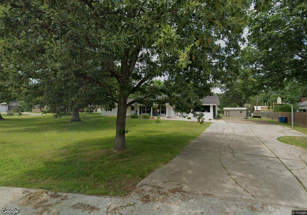
613 W Division St Bolivar, MO 65613
Estimated Value: $250,288 - $317,000
3
Beds
3
Baths
2,244
Sq Ft
$125/Sq Ft
Est. Value
About This Home
This home is located at 613 W Division St, Bolivar, MO 65613 and is currently estimated at $280,322, approximately $124 per square foot. 613 W Division St is a home with nearby schools including Bolivar Primary School, Bolivar Intermediate School, and Bolivar Middle School.
Ownership History
Date
Name
Owned For
Owner Type
Purchase Details
Closed on
Nov 30, 2023
Sold by
Stephens Mark D and Stephens Susan
Bought by
Britz Inv
Current Estimated Value
Home Financials for this Owner
Home Financials are based on the most recent Mortgage that was taken out on this home.
Original Mortgage
$380,000
Interest Rate
6.14%
Mortgage Type
New Conventional
Purchase Details
Closed on
Jul 20, 2018
Sold by
Shirley S
Bought by
Thompson Amber and Thompson Christopher Joel
Create a Home Valuation Report for This Property
The Home Valuation Report is an in-depth analysis detailing your home's value as well as a comparison with similar homes in the area
Home Values in the Area
Average Home Value in this Area
Purchase History
| Date | Buyer | Sale Price | Title Company |
|---|---|---|---|
| Britz Inv | $475,000 | -- | |
| Thompson Amber | -- | -- |
Source: Public Records
Mortgage History
| Date | Status | Borrower | Loan Amount |
|---|---|---|---|
| Closed | Britz Inv | $380,000 |
Source: Public Records
Tax History Compared to Growth
Tax History
| Year | Tax Paid | Tax Assessment Tax Assessment Total Assessment is a certain percentage of the fair market value that is determined by local assessors to be the total taxable value of land and additions on the property. | Land | Improvement |
|---|---|---|---|---|
| 2024 | $11 | $21,700 | $0 | $0 |
| 2023 | $1,098 | $21,700 | $0 | $0 |
| 2022 | $1,023 | $21,280 | $0 | $0 |
| 2021 | $1,019 | $21,280 | $0 | $0 |
| 2020 | $967 | $20,060 | $0 | $0 |
| 2019 | $967 | $20,060 | $0 | $0 |
| 2018 | $949 | $19,520 | $0 | $0 |
| 2017 | $949 | $19,520 | $0 | $0 |
| 2016 | $949 | $19,520 | $0 | $0 |
| 2015 | -- | $19,520 | $0 | $0 |
| 2014 | -- | $19,520 | $0 | $0 |
Source: Public Records
Map
Nearby Homes
- 721 N Canton Ave
- 641 N Park Place
- 610 W Summit St
- 604 N Claud Ave
- 512 N Claud Ave
- 565 N Williams Place
- 719 W Olive St
- 1025 N Market Ave
- 615 W Olive St
- 119 E Pennell St
- 606 W Olive St
- 424 W Olive St
- 514 N Wilson Ave
- 421 N Barker Ave
- 440 N Barker Ave
- 307 N Rechow Ave
- 327 E Chestnut St
- 603 W Jackson St
- 670 N Sunset Ave
- 000 State Highway 32
- 703 N Park Ave
- 804 N Canton Ave
- 713 N Park Ave
- 709 W Division St
- 805 N Park Ave
- 805 N Canton Ave
- 652 N Park Place
- 714 N Claud Ave
- 708 W Division St
- 821 N Park Ave
- 704 N Claud Ave
- 710 W Summit St
- 804 N Claud Ave
- 712 N Park Ave
- 720 W Division St
- 211 W Division St
- 648 N Park Place
- 645 N Park Place
- 808 N Park Ave
- 726 W Summit St