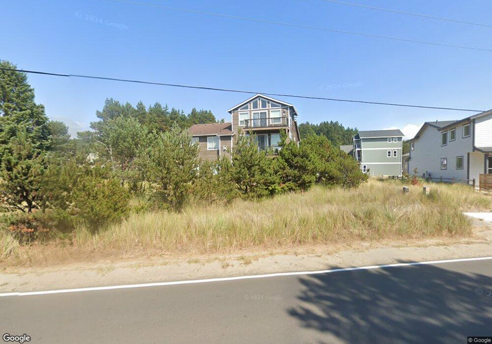
6130 Center Pointe Loop Pacific City, OR 97135
Estimated Value: $502,000 - $807,000
1
Bed
3
Baths
1,407
Sq Ft
$505/Sq Ft
Est. Value
About This Home
This home is located at 6130 Center Pointe Loop, Pacific City, OR 97135 and is currently estimated at $710,810, approximately $505 per square foot. 6130 Center Pointe Loop is a home with nearby schools including Nestucca K-8 School and Nestucca High School.
Ownership History
Date
Name
Owned For
Owner Type
Purchase Details
Closed on
Aug 24, 2006
Sold by
Dejong John
Bought by
Macdonald Shawn W and Macdonald Cindi I
Current Estimated Value
Home Financials for this Owner
Home Financials are based on the most recent Mortgage that was taken out on this home.
Original Mortgage
$140,000
Interest Rate
6.67%
Mortgage Type
Construction
Create a Home Valuation Report for This Property
The Home Valuation Report is an in-depth analysis detailing your home's value as well as a comparison with similar homes in the area
Home Values in the Area
Average Home Value in this Area
Purchase History
| Date | Buyer | Sale Price | Title Company |
|---|---|---|---|
| Macdonald Shawn W | $175,000 | First American |
Source: Public Records
Mortgage History
| Date | Status | Borrower | Loan Amount |
|---|---|---|---|
| Closed | Macdonald Shawn W | $140,000 |
Source: Public Records
Tax History Compared to Growth
Tax History
| Year | Tax Paid | Tax Assessment Tax Assessment Total Assessment is a certain percentage of the fair market value that is determined by local assessors to be the total taxable value of land and additions on the property. | Land | Improvement |
|---|---|---|---|---|
| 2024 | $4,433 | $367,220 | $94,010 | $273,210 |
| 2023 | $4,403 | $356,530 | $91,270 | $265,260 |
| 2022 | $4,247 | $346,150 | $88,610 | $257,540 |
| 2021 | $4,147 | $336,070 | $86,030 | $250,040 |
| 2020 | $4,047 | $326,290 | $83,530 | $242,760 |
| 2019 | $3,958 | $316,790 | $81,100 | $235,690 |
| 2018 | $3,631 | $307,570 | $78,740 | $228,830 |
| 2017 | $3,319 | $298,620 | $76,450 | $222,170 |
| 2016 | $3,262 | $289,930 | $74,220 | $215,710 |
| 2015 | $3,188 | $281,490 | $72,060 | $209,430 |
| 2014 | -- | $273,300 | $69,960 | $203,340 |
| 2013 | -- | $265,340 | $67,920 | $197,420 |
Source: Public Records
Map
Nearby Homes
- 0 Dory Pointe Loop Unit TL8100 229390931
- 33520 Cape Kiwanda Dr
- 5904 Barefoot Ln
- 33495 Cape Kiwanda Dr
- 6415 Dory Pointe Loop
- TL8100 Dory Pointe Loop
- 5685 Barefoot Ln
- 5950 Neptune Dr
- 33000 Cape Kiwanda Dr
- 34320 Cape Kiwanda Dr
- 33000 Cape Kiwanda Dr Unit 4wk24
- 33000 Cape Kiwanda Dr Unit 8 Wk 40
- 33000 Cape Kiwanda Dr Unit 2 Wk 39
- 33000 Cape Kiwanda Dr Unit 4 Wk 36
- 33000 Cape Kiwanda Dr Unit 3 Wk 39
- 33000 Cape Kiwanda Unit 2 Wk 38 Dr
- 33000 Cape Kiwanda Dr Unit 4 Wk 26
- 33000 Cape Kiwanda Dr Unit 4 Wk 25
- 33000 Cape Kiwanda Unit 2 Week 36 Dr
- 5706 Four Sisters Ln
- 6110 Centerpointe Loop
- 6140 Center Pointe Loop
- 6140 Centerpointe Loop
- 6110 Center Pointe Loop
- 33725 Centerpointe Dr
- 6150 Centerpointe Loop
- 6115 Center Pointe Loop
- 6125 Dory Pointe Loop
- 33675 Centerpointe Loop
- 33595 Centerpointe Loop
- TL 4525 Centerpointe Loop
- VL #73 Centerpointe Loop
- VL #72 Centerpointe Loop
- VL #70 Centerpointe Loop
- VL #71 Centerpointe Loop
- 00 Centerpointe Loop
- VL Centerpointe Loop
- 59 Centerpointe Loop
- 6145 Dory Pointe Loop
- 6145 Dory Pointe Loop