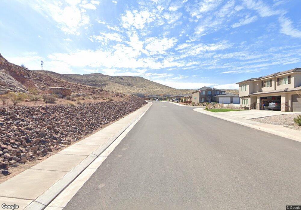
6130 S Broken Rock Dr St. George, UT 84790
Estimated Value: $425,000 - $484,000
3
Beds
2
Baths
1,636
Sq Ft
$279/Sq Ft
Est. Value
About This Home
This home is located at 6130 S Broken Rock Dr, St. George, UT 84790 and is currently estimated at $456,592, approximately $279 per square foot. 6130 S Broken Rock Dr is a home located in Washington County with nearby schools including Desert Hills Middle School, Sunrise Ridge Intermediate School, and Desert Hills High School.
Ownership History
Date
Name
Owned For
Owner Type
Purchase Details
Closed on
Apr 3, 2020
Sold by
Susans R & D Llc
Bought by
Harris Anthony Phillip and Harris Kira
Current Estimated Value
Home Financials for this Owner
Home Financials are based on the most recent Mortgage that was taken out on this home.
Original Mortgage
$308,312
Outstanding Balance
$277,327
Interest Rate
4.25%
Mortgage Type
FHA
Estimated Equity
$179,265
Purchase Details
Closed on
Aug 27, 2018
Sold by
Salisbury Developers Inc
Bought by
Susan S R & D Llc
Purchase Details
Closed on
Mar 29, 2018
Sold by
Salisbury Land Development Llc
Bought by
Salisbury Developers Inc
Purchase Details
Closed on
Nov 29, 2017
Sold by
Desert Canyons Development Inc
Bought by
Salisbury Developers Inc
Create a Home Valuation Report for This Property
The Home Valuation Report is an in-depth analysis detailing your home's value as well as a comparison with similar homes in the area
Home Values in the Area
Average Home Value in this Area
Purchase History
| Date | Buyer | Sale Price | Title Company |
|---|---|---|---|
| Harris Anthony Phillip | -- | Southern Utah Title Co | |
| Susan S R & D Llc | -- | Gt Title Services | |
| Salisbury Developers Inc | -- | S T Title | |
| Salisbury Developers Inc | -- | Gt Title Services |
Source: Public Records
Mortgage History
| Date | Status | Borrower | Loan Amount |
|---|---|---|---|
| Open | Harris Anthony Phillip | $308,312 |
Source: Public Records
Tax History Compared to Growth
Tax History
| Year | Tax Paid | Tax Assessment Tax Assessment Total Assessment is a certain percentage of the fair market value that is determined by local assessors to be the total taxable value of land and additions on the property. | Land | Improvement |
|---|---|---|---|---|
| 2021 | $0 | $310,700 | $95,000 | $215,700 |
| 2020 | $1,400 | $276,300 | $85,000 | $191,300 |
| 2019 | $1,404 | $270,700 | $85,000 | $185,700 |
| 2018 | $804 | $80,000 | $0 | $0 |
| 2017 | $0 | $0 | $0 | $0 |
Source: Public Records
Map
Nearby Homes
- 3708 E Shooting Star Ln
- 6283 S Desert Cove Cir
- 5957 S Kastra Ln
- 6150 S Half Dome Cir
- 5927 S Vega Way
- 3642 E Altair Way
- 3971 Enninberg Way
- 5934 Belair St
- 5887 S Desert Crest Dr
- 0 Desert Crest Dr
- 5936 Desert Crest Dr
- 4101 El Capitan Way
- 3463 E Chimney Rock Dr
- 3677 Archturus Dr
- 4117 El Capitan Way
- 6026 S Zen Trail Way
- 4129 El Capitan Way
- 4135 El Capitan Way
- 4149 El Capitan Way
- 4177 El Capitan Way
- 6176 S Broken Rock Way
- 6114 S Broken Rock Dr
- 0 Broken Rock Way
- 6142 S Broken Rock Way
- 3762 E Shooting Star Ln
- 3771 E Temple Cap Ln
- 3746 E Shooting Star Ln
- 3792 Temple Cap Ln
- 3759 E Temple Cap Ln
- 3740 E Shooting Star Ln
- 3778 E Temple Cap Ln
- 3763 E Shooting Star Ln
- 3766 E Temple Cap Ln
- 3728 E Shooting Star Ln
- 3743 E Temple Cap Ln
- 0 E Shooting Star Ln
- 3739 E Shooting Star Ln
- 3750 E Temple Cap Ln
- 3716 E Shooting Star Ln
- 3727 E Temple Cap Ln