Estimated Value: $332,071 - $384,000
3
Beds
1
Bath
1,288
Sq Ft
$279/Sq Ft
Est. Value
About This Home
This home is located at 6130 Townsend Rd, Delta, CO 81416 and is currently estimated at $359,018, approximately $278 per square foot. 6130 Townsend Rd is a home located in Delta County with nearby schools including Garnet Mesa Elementary School, Lincoln Elementary School, and Delta Middle School.
Ownership History
Date
Name
Owned For
Owner Type
Purchase Details
Closed on
Feb 13, 2014
Sold by
Harris Karen L
Bought by
Ashby Russell W
Current Estimated Value
Home Financials for this Owner
Home Financials are based on the most recent Mortgage that was taken out on this home.
Original Mortgage
$80,000
Outstanding Balance
$60,964
Interest Rate
4.56%
Mortgage Type
New Conventional
Estimated Equity
$298,054
Purchase Details
Closed on
Mar 4, 1993
Sold by
Jackson
Bought by
Ashby Russell W and Ashby Anthony
Purchase Details
Closed on
Feb 5, 1991
Sold by
Vincent
Bought by
Jackson Ashby Russell W and Jackson Ashby
Create a Home Valuation Report for This Property
The Home Valuation Report is an in-depth analysis detailing your home's value as well as a comparison with similar homes in the area
Purchase History
| Date | Buyer | Sale Price | Title Company |
|---|---|---|---|
| Ashby Russell W | $100,000 | Land Title Guarantee Company | |
| Ashby Russell W | $58,000 | -- | |
| Jackson Ashby Russell W | $53,000 | -- |
Source: Public Records
Mortgage History
| Date | Status | Borrower | Loan Amount |
|---|---|---|---|
| Open | Ashby Russell W | $80,000 |
Source: Public Records
Tax History
| Year | Tax Paid | Tax Assessment Tax Assessment Total Assessment is a certain percentage of the fair market value that is determined by local assessors to be the total taxable value of land and additions on the property. | Land | Improvement |
|---|---|---|---|---|
| 2024 | $1,193 | $18,034 | $2,782 | $15,252 |
| 2023 | $1,193 | $18,034 | $2,782 | $15,252 |
| 2022 | $1,029 | $15,949 | $3,823 | $12,126 |
| 2021 | $1,039 | $16,408 | $3,933 | $12,475 |
| 2020 | $940 | $14,620 | $2,860 | $11,760 |
| 2019 | $930 | $14,620 | $2,860 | $11,760 |
| 2018 | $905 | $13,720 | $3,564 | $10,156 |
| 2017 | $879 | $13,720 | $3,564 | $10,156 |
| 2016 | $709 | $9,793 | $3,940 | $5,853 |
| 2014 | -- | $8,348 | $3,582 | $4,766 |
Source: Public Records
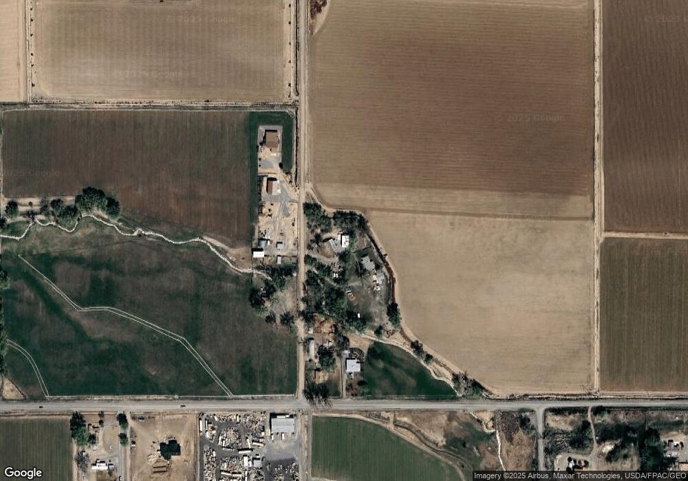
Map
Nearby Homes
- 6038 Townsend Rd
- 14414 G Rd
- 14473 Deer Run Rd
- 6493 Townsend Rd
- 14885 G Rd
- 531 Columbia St
- 304 W 3rd St
- 775 Columbia St
- 222 Dodge St
- 303 Eaton Ct
- 337 & 341 Palmer St
- 167 Gunnison River Dr
- 831 Palmer St
- TBD 1500 Ct
- 919 Palmer St
- 1312 & 1304 Granite Way
- 965 Palmer St
- 1025 Palmer St
- 821 Main St
- 155 E 7th St
- 6122 Townsend Rd
- 14037 G Rd
- 6177 Townsend Rd
- 1385 Road
- 13998 G Rd
- 5983 1385 Rd
- 5897 1385 Rd
- 14291 Deer Run Rd
- 5889 1385 Rd
- 5891 1390 Rd
- 5891 1390 Rd Unit 13860 & 13864 G Road
- 14332 G Rd
- 0 Highway 92 Tbd Highway 65 Unit TBD Highway 65
- 0 Lot 3 Block 2 Mustang Ln Unit 623556
- 0 Lot 5 Block 2 Mustang Ln Unit 623555
- 0 Lot 2 Block 3 Wildcat Ln Unit 623554
- 0 Lot 3 Block 1 Mustang Ln Unit 618862
- 0 Mustang Ln
- 5880 1390 Rd
- 6496 Townsend Rd
Your Personal Tour Guide
Ask me questions while you tour the home.