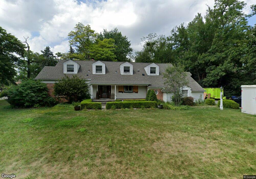
6130 W Surrey Rd Bloomfield Hills, MI 48301
Estimated Value: $680,669 - $843,000
4
Beds
3
Baths
2,686
Sq Ft
$286/Sq Ft
Est. Value
About This Home
This home is located at 6130 W Surrey Rd, Bloomfield Hills, MI 48301 and is currently estimated at $767,667, approximately $285 per square foot. 6130 W Surrey Rd is a home located in Oakland County with nearby schools including Conant Elementary School, South Hills Middle School, and Bloomfield Hills High School.
Ownership History
Date
Name
Owned For
Owner Type
Purchase Details
Closed on
Jan 26, 2018
Sold by
Olds Douglas G
Bought by
Olds Douglas G and Burk Bonnie L
Current Estimated Value
Home Financials for this Owner
Home Financials are based on the most recent Mortgage that was taken out on this home.
Original Mortgage
$532,800
Outstanding Balance
$450,666
Interest Rate
3.94%
Mortgage Type
Construction
Estimated Equity
$317,001
Purchase Details
Closed on
Jan 14, 2014
Sold by
Olds Keri A
Bought by
Olds Douglas G
Purchase Details
Closed on
Dec 18, 2002
Sold by
Bosworth Gary P
Bought by
Olds Douglas G
Create a Home Valuation Report for This Property
The Home Valuation Report is an in-depth analysis detailing your home's value as well as a comparison with similar homes in the area
Home Values in the Area
Average Home Value in this Area
Purchase History
| Date | Buyer | Sale Price | Title Company |
|---|---|---|---|
| Olds Douglas G | -- | Ata National Title Group Llc | |
| Olds Douglas G | -- | None Available | |
| Olds Douglas G | $425,000 | -- |
Source: Public Records
Mortgage History
| Date | Status | Borrower | Loan Amount |
|---|---|---|---|
| Open | Olds Douglas G | $532,800 |
Source: Public Records
Tax History Compared to Growth
Tax History
| Year | Tax Paid | Tax Assessment Tax Assessment Total Assessment is a certain percentage of the fair market value that is determined by local assessors to be the total taxable value of land and additions on the property. | Land | Improvement |
|---|---|---|---|---|
| 2024 | $4,110 | $291,420 | $0 | $0 |
| 2023 | $3,978 | $280,560 | $0 | $0 |
| 2022 | $7,475 | $250,110 | $0 | $0 |
| 2021 | $7,474 | $258,180 | $0 | $0 |
| 2020 | $3,638 | $256,550 | $0 | $0 |
| 2019 | $6,861 | $235,030 | $0 | $0 |
| 2018 | $6,892 | $235,940 | $0 | $0 |
| 2017 | $6,843 | $230,940 | $0 | $0 |
| 2016 | $6,856 | $224,150 | $0 | $0 |
| 2015 | -- | $213,350 | $0 | $0 |
| 2014 | -- | $182,560 | $0 | $0 |
| 2011 | -- | $165,010 | $0 | $0 |
Source: Public Records
Map
Nearby Homes
- 5904 Wing Lake Rd
- 750 Trailwood Path Unit B
- 450 Billingsgate Ct Unit C
- 1760 Trailwood Path
- 6572 Spruce Dr
- 5630 S Adams Way
- 6386 Thorncrest Dr
- 6660 Woodbank Dr
- 5579 N Adams Way
- 4456 W Maple Rd
- 6360 Hills Dr
- 6750 Wing Lake Rd
- 6701 Franklin Rd
- 5361 Echo Rd
- 6450 Gilbert Lake Rd
- 5741 Snowshoe Cir
- 6041 Eastmoor Rd
- 6940 Wing Lake Rd
- 4597 Broughton Dr
- 4603 Hedgewood Dr
- 6150 W Surrey Rd
- 6100 W Surrey Rd
- 6123 E Surrey Rd
- 6160 W Surrey Rd
- 6080 N Cross St
- 6105 E Surrey Rd
- 6165 Worlington Rd
- 6145 Worlington Rd
- 6175 Worlington Rd
- 6155 E Surrey Rd
- 6125 Worlington Rd
- 6050 W Surrey Rd
- 6020 N Cross St
- 6025 E Surrey Rd
- 6185 Worlington Rd
- 6070 N Cross St
- 6175 E Surrey Rd
- 6190 W Surrey Rd
- 6105 Worlington Rd
- 6180 W Surrey Rd