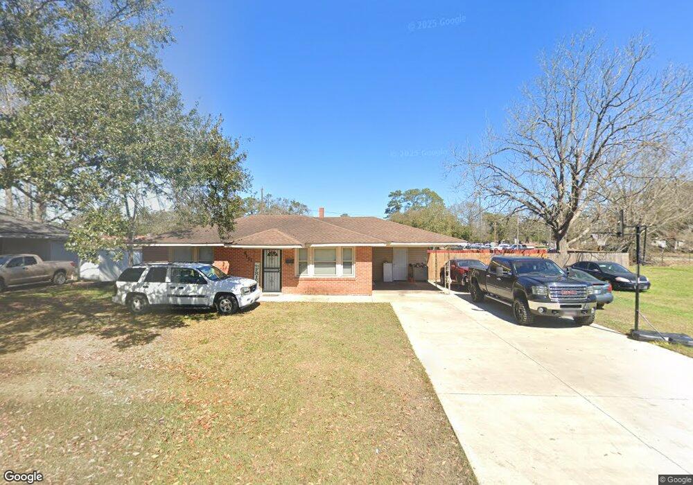
6131 Cyrus Ave Baton Rouge, LA 70805
Mid City North NeighborhoodEstimated Value: $56,000 - $120,000
--
Bed
--
Bath
--
Sq Ft
9,627
Sq Ft Lot
About This Home
This home is located at 6131 Cyrus Ave, Baton Rouge, LA 70805 and is currently estimated at $86,659. 6131 Cyrus Ave is a home located in East Baton Rouge Parish with nearby schools including Claiborne Elementary School, Brookstown Middle Magnet Academy, and Istrouma High School.
Ownership History
Date
Name
Owned For
Owner Type
Purchase Details
Closed on
Jan 20, 2005
Sold by
Old Southern Land & Trust
Bought by
Devold Ronald
Current Estimated Value
Home Financials for this Owner
Home Financials are based on the most recent Mortgage that was taken out on this home.
Original Mortgage
$60,250
Outstanding Balance
$30,278
Interest Rate
5.68%
Mortgage Type
VA
Estimated Equity
$56,381
Create a Home Valuation Report for This Property
The Home Valuation Report is an in-depth analysis detailing your home's value as well as a comparison with similar homes in the area
Home Values in the Area
Average Home Value in this Area
Purchase History
| Date | Buyer | Sale Price | Title Company |
|---|---|---|---|
| Devold Ronald | $59,000 | -- |
Source: Public Records
Mortgage History
| Date | Status | Borrower | Loan Amount |
|---|---|---|---|
| Open | Devold Ronald | $60,250 |
Source: Public Records
Tax History Compared to Growth
Tax History
| Year | Tax Paid | Tax Assessment Tax Assessment Total Assessment is a certain percentage of the fair market value that is determined by local assessors to be the total taxable value of land and additions on the property. | Land | Improvement |
|---|---|---|---|---|
| 2024 | $89 | $7,459 | $190 | $7,269 |
| 2023 | $89 | $6,660 | $170 | $6,490 |
| 2022 | $795 | $6,660 | $170 | $6,490 |
| 2021 | $777 | $6,660 | $170 | $6,490 |
| 2020 | $772 | $6,660 | $170 | $6,490 |
| 2019 | $733 | $6,050 | $150 | $5,900 |
| 2018 | $724 | $6,050 | $150 | $5,900 |
| 2017 | $724 | $6,050 | $150 | $5,900 |
| 2016 | $51 | $3,985 | $150 | $3,835 |
| 2015 | $77 | $5,900 | $150 | $5,750 |
| 2014 | $77 | $5,900 | $150 | $5,750 |
| 2013 | -- | $5,900 | $150 | $5,750 |
Source: Public Records
Map
Nearby Homes
- TBD E Brookstown Dr
- 5949 Heidel Ave
- 6550/6534 Prescott Rd
- 4791 Prescott Rd
- 4778 Broadway St
- 4887 Enterprise St
- 5950 Saint Gerard Ave
- 5765 Beech St
- 5218 Enterprise St
- 5262 E Brookstown Dr
- 5373 Sycamore St
- 5348 E Brookstown Dr
- 5136 Mcclelland Dr
- 5169 Annette St
- 5233 Satinwood Dr
- 5332 Enterprise St
- 4126 Prescott Ct
- 6612 Merrydale Ave
- 3905 Elm Dr
- 6824 Autumn Ave
- 6125 Cyrus Ave
- 6156 Cyrus Ave
- 6142 Cyrus Ave
- 6166 Cyrus Ave
- 6105 Cyrus Ave
- 6164 Cyrus Ave Unit 6164-6166 Cyrus Aven
- 6124 Cyrus Ave
- 99999 E Brookstown Dr
- 6106 Cyrus Ave
- 6055 Cyrus Ave
- 6055 Cyrus St
- 4324 E Brookstown Dr
- 4255 E Brookstown Dr
- 6048 Cyrus Dr
- 6048 Cyrus Ave
- 6131 Prescott Rd
- 6143 Prescott Rd
- 6033 Cyrus Ave
- 4370 E Brookstown Dr
- 6079 Prescott Rd