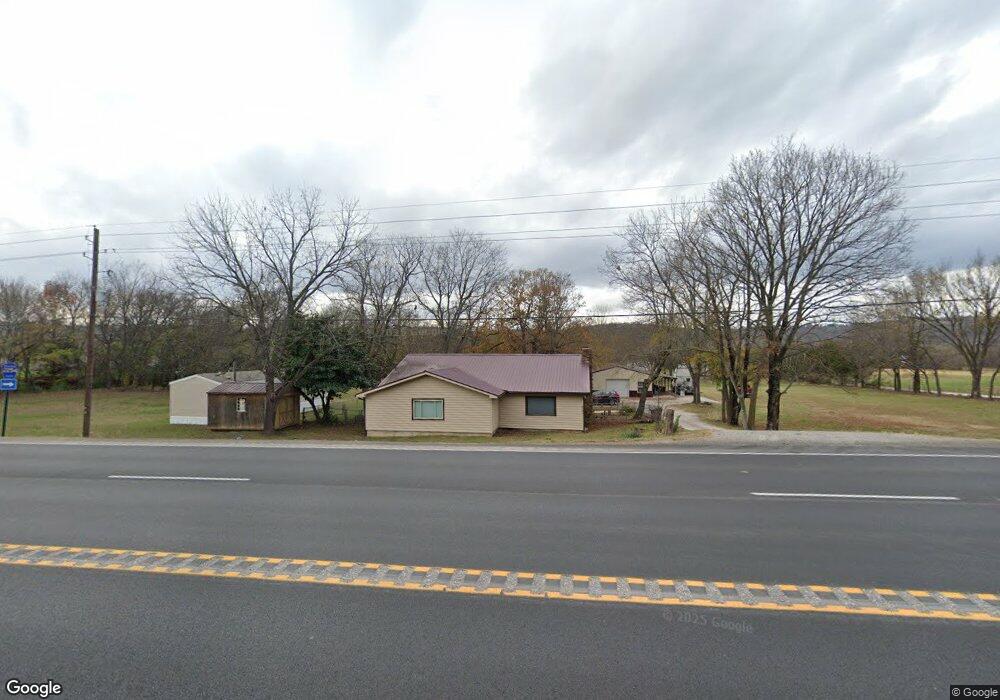
6131 S Highway 71 West Fork, AR 72774
Estimated Value: $468,000
3
Beds
1
Bath
1,773
Sq Ft
$264/Sq Ft
Est. Value
About This Home
This home is located at 6131 S Highway 71, West Fork, AR 72774 and is currently priced at $468,000, approximately $263 per square foot. 6131 S Highway 71 is a home located in Washington County with nearby schools including Greenland Middle School, Greenland Elementary School, and Greenland High School.
Ownership History
Date
Name
Owned For
Owner Type
Purchase Details
Closed on
Aug 4, 2016
Sold by
Williams Carl and Williams Susan
Bought by
Young Brian Wayne and Young Susanna
Current Estimated Value
Home Financials for this Owner
Home Financials are based on the most recent Mortgage that was taken out on this home.
Original Mortgage
$180,961
Outstanding Balance
$144,758
Interest Rate
3.56%
Mortgage Type
FHA
Purchase Details
Closed on
May 26, 2006
Sold by
Vernor Bea A
Bought by
Williams Carl and Williams Susan
Home Financials for this Owner
Home Financials are based on the most recent Mortgage that was taken out on this home.
Original Mortgage
$176,000
Interest Rate
6.5%
Mortgage Type
Fannie Mae Freddie Mac
Purchase Details
Closed on
Jan 1, 1985
Bought by
Elam Loyd and Mary Elizabeth
Create a Home Valuation Report for This Property
The Home Valuation Report is an in-depth analysis detailing your home's value as well as a comparison with similar homes in the area
Home Values in the Area
Average Home Value in this Area
Purchase History
| Date | Buyer | Sale Price | Title Company |
|---|---|---|---|
| Young Brian Wayne | $184,300 | None Available | |
| Williams Carl | $240,000 | Heritage Land Title Of Ar | |
| Elam Loyd | -- | -- |
Source: Public Records
Mortgage History
| Date | Status | Borrower | Loan Amount |
|---|---|---|---|
| Open | Young Brian Wayne | $180,961 | |
| Previous Owner | Williams Carl | $176,000 |
Source: Public Records
Tax History Compared to Growth
Tax History
| Year | Tax Paid | Tax Assessment Tax Assessment Total Assessment is a certain percentage of the fair market value that is determined by local assessors to be the total taxable value of land and additions on the property. | Land | Improvement |
|---|---|---|---|---|
| 2023 | $729 | $37,930 | $8,490 | $29,440 |
| 2022 | $774 | $30,560 | $4,700 | $25,860 |
| 2021 | $945 | $30,560 | $4,700 | $25,860 |
| 2020 | $891 | $30,560 | $4,700 | $25,860 |
| 2019 | $599 | $20,090 | $3,950 | $16,140 |
| 2018 | $493 | $17,230 | $3,950 | $13,280 |
| 2017 | $434 | $17,230 | $3,950 | $13,280 |
| 2016 | $484 | $17,230 | $3,950 | $13,280 |
| 2015 | $749 | $17,230 | $3,950 | $13,280 |
| 2014 | $681 | $14,970 | $4,300 | $10,670 |
Source: Public Records
Map
Nearby Homes
- 1329 Homestead Ln
- 0 W Carrol St
- TBD Stockburger Ave
- 0 Path Trail Rd
- 215/215B/219 S Peerson St
- 316 S Napier Ave
- 14630 E Wallin Mountain Rd
- 333 S Napier Ave
- 451 W Horn St
- TBD Butterfield Ave
- 424 W Tanner Dr
- 602 N Centennial Ave
- 0 W Napier Dr Unit Tract 1 1262191
- 0 W Napier Dr Unit 1322099
- 0 W Napier Dr Unit Tract 4 1262201
- 19.7 Acres Arkansas 156
- 10845 SW Campbell Rd
- N Letitia Ave
- 12284 Flowers Rd
- 11084 Pearce Rd