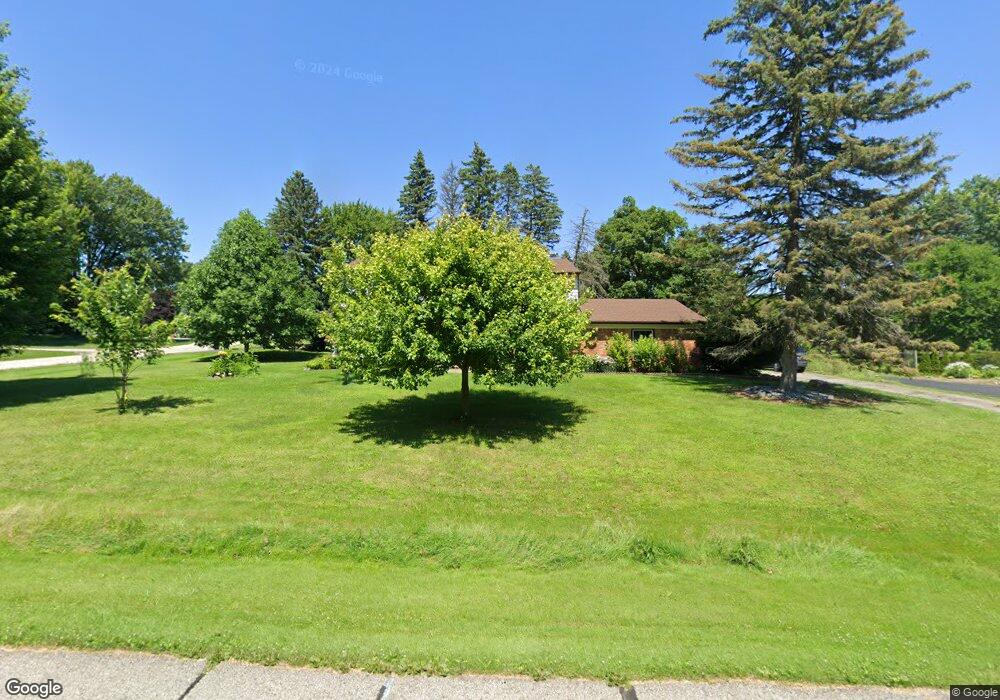
6131 Wellesley Dr West Bloomfield, MI 48322
Estimated Value: $446,094 - $621,000
4
Beds
3
Baths
2,768
Sq Ft
$186/Sq Ft
Est. Value
About This Home
This home is located at 6131 Wellesley Dr, West Bloomfield, MI 48322 and is currently estimated at $515,524, approximately $186 per square foot. 6131 Wellesley Dr is a home located in Oakland County with nearby schools including Sheiko Elementary School, West Bloomfield Middle School, and Bloomfield Maples Montessori.
Ownership History
Date
Name
Owned For
Owner Type
Purchase Details
Closed on
Apr 7, 2000
Sold by
Odowd Kevin L
Bought by
Bracco Peter V
Current Estimated Value
Purchase Details
Closed on
Aug 31, 1995
Sold by
Zamboldi George R
Bought by
O'Dowd Kevin L and O'Dowd Karen
Home Financials for this Owner
Home Financials are based on the most recent Mortgage that was taken out on this home.
Original Mortgage
$168,000
Interest Rate
7.78%
Mortgage Type
New Conventional
Create a Home Valuation Report for This Property
The Home Valuation Report is an in-depth analysis detailing your home's value as well as a comparison with similar homes in the area
Home Values in the Area
Average Home Value in this Area
Purchase History
| Date | Buyer | Sale Price | Title Company |
|---|---|---|---|
| Bracco Peter V | $303,500 | -- | |
| O'Dowd Kevin L | $210,000 | -- |
Source: Public Records
Mortgage History
| Date | Status | Borrower | Loan Amount |
|---|---|---|---|
| Previous Owner | O'Dowd Kevin L | $168,000 | |
| Closed | Bracco Peter V | -- |
Source: Public Records
Tax History Compared to Growth
Tax History
| Year | Tax Paid | Tax Assessment Tax Assessment Total Assessment is a certain percentage of the fair market value that is determined by local assessors to be the total taxable value of land and additions on the property. | Land | Improvement |
|---|---|---|---|---|
| 2024 | $2,564 | $166,300 | $0 | $0 |
| 2022 | $2,330 | $144,450 | $32,800 | $111,650 |
| 2021 | $3,541 | $142,300 | $0 | $0 |
| 2020 | $2,284 | $137,670 | $32,800 | $104,870 |
| 2018 | $3,414 | $123,040 | $28,300 | $94,740 |
| 2015 | -- | $96,600 | $0 | $0 |
| 2014 | -- | $89,350 | $0 | $0 |
| 2011 | -- | $82,230 | $0 | $0 |
Source: Public Records
Map
Nearby Homes
- 6151 Orchard Lake Rd Unit 103
- 6145 Orchard Lake Rd Unit 204
- 6109 Orchard Lake Rd Unit 101
- 3865 Stonecrest Rd
- 6624 Mellow Wood Ln
- 6322 Pepper Hill St Unit 62
- 6222 Pepper Hill St
- 5780 Swan Lake Ct
- 4161 Breckenridge Dr
- 6769 Heather Heath
- 6843 Leslee Crest Dr
- 5946 Cherry Crest Dr
- 5622 Powder Horn Dr
- 3035 Parkland Dr
- 6564 Alderley Way
- 7027 Beverly Crest Dr
- 7023 Wild Ridge Ln
- 6545 Post Oak Dr
- 6651 Hearthside Ct Unit 1
- 6614 Embers Ct
- 6109 Wellesley Ct
- 6151 Wellesley Dr
- 6120 Wellesley Ct
- 6126 Wellesley Dr
- 6146 Wellesley Dr
- 6093 Wellesley Ct
- 6130 Cochise Dr
- 6094 Wellesley Ct
- 6110 Cochise Dr
- 6160 Cochise Dr
- 6166 Wellesley Dr
- 6119 Buxton Dr
- 6190 Cochise Dr
- 6161 Buxton Dr
- 6090 Cochise Dr
- 6078 Wellesley Ct
- 6095 Wellesley Dr
- 6077 Wellesley Ct
- 6186 Wellesley Dr
- 6191 Buxton Dr