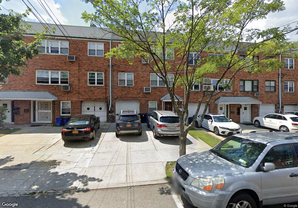
6132 219th St Oakland Gardens, NY 11364
Oakland Gardens NeighborhoodEstimated Value: $1,078,753 - $1,727,000
--
Bed
--
Bath
3,328
Sq Ft
$423/Sq Ft
Est. Value
About This Home
This home is located at 6132 219th St, Oakland Gardens, NY 11364 and is currently estimated at $1,408,688, approximately $423 per square foot. 6132 219th St is a home located in Queens County with nearby schools including P.S. 46 - Alley Pond, Nathaniel Hawthorne Middle School 74, and Benjamin N Cardozo High School.
Ownership History
Date
Name
Owned For
Owner Type
Purchase Details
Closed on
Aug 17, 1995
Sold by
Abrams Alicia and Goldstein Morris
Bought by
Mooney Edward and Mooney Mary
Current Estimated Value
Home Financials for this Owner
Home Financials are based on the most recent Mortgage that was taken out on this home.
Original Mortgage
$244,000
Interest Rate
7.75%
Purchase Details
Closed on
Mar 24, 1987
Bought by
Jer/Mick Realty Corp
Create a Home Valuation Report for This Property
The Home Valuation Report is an in-depth analysis detailing your home's value as well as a comparison with similar homes in the area
Home Values in the Area
Average Home Value in this Area
Purchase History
| Date | Buyer | Sale Price | Title Company |
|---|---|---|---|
| Mooney Edward | $271,400 | First American Title Ins Co | |
| Jer/Mick Realty Corp | -- | -- |
Source: Public Records
Mortgage History
| Date | Status | Borrower | Loan Amount |
|---|---|---|---|
| Closed | Mooney Edward | $244,000 |
Source: Public Records
Tax History Compared to Growth
Tax History
| Year | Tax Paid | Tax Assessment Tax Assessment Total Assessment is a certain percentage of the fair market value that is determined by local assessors to be the total taxable value of land and additions on the property. | Land | Improvement |
|---|---|---|---|---|
| 2025 | $12,426 | $65,578 | $17,950 | $47,628 |
| 2024 | $12,426 | $61,866 | $15,904 | $45,962 |
| 2023 | $12,426 | $61,866 | $13,485 | $48,381 |
| 2022 | $12,258 | $105,900 | $25,620 | $80,280 |
| 2021 | $12,191 | $90,300 | $25,620 | $64,680 |
| 2020 | $11,567 | $96,660 | $25,620 | $71,040 |
| 2019 | $10,785 | $90,300 | $25,620 | $64,680 |
| 2018 | $10,509 | $51,555 | $18,118 | $33,437 |
| 2017 | $10,431 | $51,168 | $19,369 | $31,799 |
| 2016 | $9,650 | $51,168 | $19,369 | $31,799 |
| 2015 | $5,822 | $45,540 | $18,761 | $26,779 |
| 2014 | $5,822 | $42,963 | $20,551 | $22,412 |
Source: Public Records
Map
Nearby Homes
- 217-18 64th Ave
- 64-14 218th St
- 21934 64th Ave Unit 337
- 21970 64th Ave Unit 245
- 216-03 64th Ave
- 6418 217th St
- 6411 Bell Blvd
- 64-64 Bell Blvd
- 64-35 Springfield Blvd Unit A
- 64-41 Springfield Blvd Unit B
- 67-09 218th St Unit Duplex
- 21608 67th Ave Unit DUPLEX
- 64-47 215 St
- 220-34 67th Ave Unit 2
- 67-01 Bell Blvd Unit DUPLE
- 67-22 218th St Unit 1
- 65-26B 223rd Place Unit 2
- 5648 219th St
- 61-20 214th St
- 216-37 68th Ave Unit 2
- 6132 219th St Unit 2 FL
- 6130 219th St
- 6134 219th St
- 6128 219th St
- 6136 219th St
- 61-36 219th St Unit 2
- 61-36 219th St
- 6126 219th St
- 6140 219th St
- 6124 219th St
- 61-24 219th St
- 61-24 219th St Unit 3
- 61-24 219th St Unit 2nd Fl
- 6124 219th St
- 6124 219th St Unit 2/F
- 6124 219th St Unit 1/F
- 6142 219th St
- 6122 219th St
- 6122 219th St Unit 3F
- 6122 219th St Unit 2nd F