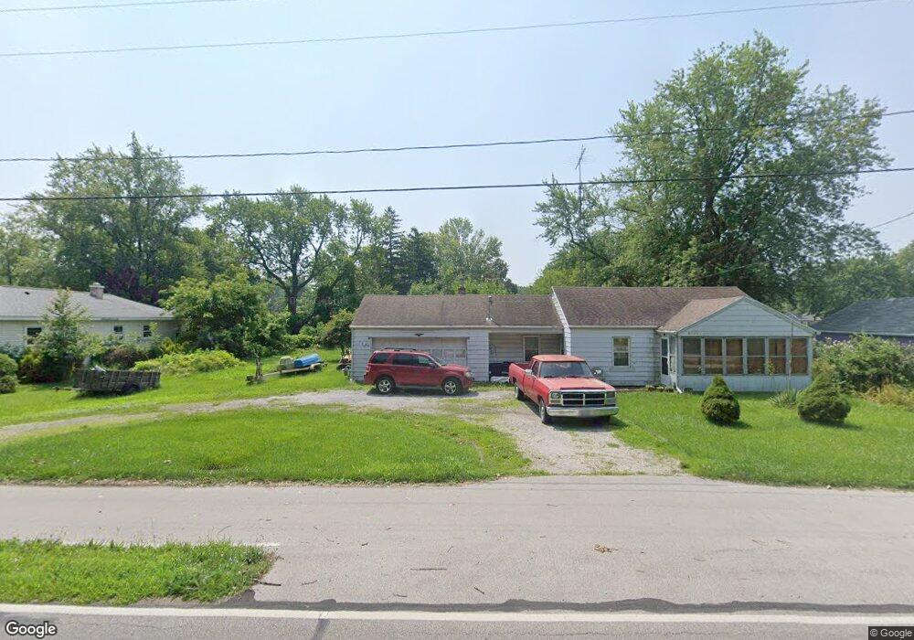
6132 Bayshore Rd Oregon, OH 43616
Estimated Value: $78,000 - $135,000
2
Beds
1
Bath
966
Sq Ft
$109/Sq Ft
Est. Value
About This Home
This home is located at 6132 Bayshore Rd, Oregon, OH 43616 and is currently estimated at $105,642, approximately $109 per square foot. 6132 Bayshore Rd is a home located in Lucas County.
Ownership History
Date
Name
Owned For
Owner Type
Purchase Details
Closed on
Aug 1, 2025
Sold by
Mulligan Thomas A and Ciolek Scott A
Bought by
Bucher Holdings Llc
Current Estimated Value
Purchase Details
Closed on
May 13, 2004
Sold by
Stringham Beatrice R
Bought by
Mulligan Thomas A
Home Financials for this Owner
Home Financials are based on the most recent Mortgage that was taken out on this home.
Original Mortgage
$79,373
Interest Rate
5.91%
Mortgage Type
FHA
Create a Home Valuation Report for This Property
The Home Valuation Report is an in-depth analysis detailing your home's value as well as a comparison with similar homes in the area
Home Values in the Area
Average Home Value in this Area
Purchase History
| Date | Buyer | Sale Price | Title Company |
|---|---|---|---|
| Bucher Holdings Llc | $77,700 | Louisville Title | |
| Mulligan Thomas A | $80,000 | Title Agency Of Oh & Mi |
Source: Public Records
Mortgage History
| Date | Status | Borrower | Loan Amount |
|---|---|---|---|
| Previous Owner | Mulligan Thomas A | $79,373 |
Source: Public Records
Tax History Compared to Growth
Tax History
| Year | Tax Paid | Tax Assessment Tax Assessment Total Assessment is a certain percentage of the fair market value that is determined by local assessors to be the total taxable value of land and additions on the property. | Land | Improvement |
|---|---|---|---|---|
| 2024 | $892 | $37,625 | $7,490 | $30,135 |
| 2023 | $1,599 | $28,700 | $6,755 | $21,945 |
| 2022 | $1,611 | $28,700 | $6,755 | $21,945 |
| 2021 | $1,624 | $28,700 | $6,755 | $21,945 |
| 2020 | $1,644 | $25,830 | $6,125 | $19,705 |
| 2019 | $1,597 | $25,830 | $6,125 | $19,705 |
| 2018 | $1,518 | $25,830 | $6,125 | $19,705 |
| 2017 | $1,475 | $22,365 | $3,815 | $18,550 |
| 2016 | $1,456 | $63,900 | $10,900 | $53,000 |
| 2015 | $1,446 | $63,900 | $10,900 | $53,000 |
| 2014 | $1,338 | $21,950 | $3,750 | $18,200 |
| 2013 | $1,338 | $21,950 | $3,750 | $18,200 |
Source: Public Records
Map
Nearby Homes
- 1830 Lilias Dr
- 2057 Blanche Dr
- 5911 Plympton Cir
- 5243 Eagles Landing Dr
- 5305 Cedar Point Rd
- 1633 Grand Bay Dr
- 8800 Cedar Point Rd
- 6530 Corduroy Rd
- 2079 Arkansas St
- 140 N Wynn Rd
- 234 Avilyn Ln
- 4263 Corduroy Rd
- 5054 Magnolia Dr
- 5065 Magnolia Dr
- 8740 Cedar Point Rd
- 5047 Noah Ln
- 5037 Easton Dr
- 5033 Easton Dr
- 5029 Easton Dr
- 5040 Easton Dr
- 6122 Bayshore Rd
- 1961 Lagundovie Rd
- 1935 Seaford Dr
- 6118 Bayshore Rd
- 1931 Seaford Dr
- 1925 Seaford Dr
- 1956 Lagundovie Rd
- 1962 Lagundovie Rd
- 1940 Seaford Dr
- 6108 Bayshore Rd
- 1952 Lagundovie Rd
- 6141 Bayshore Rd
- 1940 Seaford
- 1932 Seaford Dr
- 6141 Bay Shore Rd
- 1942 Lagundovie Rd
- 6089 Colchester Rd
- 1927 Lagundovie Rd
- 6068 Bayshore Rd
- 1926 Seaford Dr