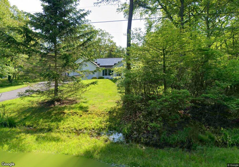
6132 Spruce Dr Canadensis, PA 18325
Estimated Value: $325,000 - $369,000
3
Beds
2
Baths
1,420
Sq Ft
$239/Sq Ft
Est. Value
About This Home
This home is located at 6132 Spruce Dr, Canadensis, PA 18325 and is currently estimated at $338,680, approximately $238 per square foot. 6132 Spruce Dr is a home located in Monroe County with nearby schools including Swiftwater Interm School, Swiftwater Elementary Center, and Pocono Mountain East Junior High School.
Ownership History
Date
Name
Owned For
Owner Type
Purchase Details
Closed on
Feb 9, 2016
Sold by
Linnenbaugh Richard D and Linnenbaugh Shirley M
Bought by
Perrine Jay M and Perrine Tina Marie
Current Estimated Value
Home Financials for this Owner
Home Financials are based on the most recent Mortgage that was taken out on this home.
Original Mortgage
$143,010
Outstanding Balance
$113,472
Interest Rate
3.97%
Mortgage Type
VA
Estimated Equity
$225,208
Purchase Details
Closed on
Jan 4, 1999
Bought by
Linnenbaugh Richard D
Create a Home Valuation Report for This Property
The Home Valuation Report is an in-depth analysis detailing your home's value as well as a comparison with similar homes in the area
Home Values in the Area
Average Home Value in this Area
Purchase History
| Date | Buyer | Sale Price | Title Company |
|---|---|---|---|
| Perrine Jay M | $140,000 | None Available | |
| Linnenbaugh Richard D | $5,000 | -- |
Source: Public Records
Mortgage History
| Date | Status | Borrower | Loan Amount |
|---|---|---|---|
| Open | Perrine Jay M | $143,010 |
Source: Public Records
Tax History Compared to Growth
Tax History
| Year | Tax Paid | Tax Assessment Tax Assessment Total Assessment is a certain percentage of the fair market value that is determined by local assessors to be the total taxable value of land and additions on the property. | Land | Improvement |
|---|---|---|---|---|
| 2025 | $1,109 | $137,360 | $29,970 | $107,390 |
| 2024 | $903 | $137,360 | $29,970 | $107,390 |
| 2023 | $3,595 | $137,360 | $29,970 | $107,390 |
| 2022 | $3,534 | $137,360 | $29,970 | $107,390 |
| 2021 | $3,534 | $137,360 | $29,970 | $107,390 |
| 2020 | $3,080 | $137,360 | $29,970 | $107,390 |
| 2019 | $4,736 | $26,790 | $3,310 | $23,480 |
| 2018 | $4,736 | $26,790 | $3,310 | $23,480 |
| 2017 | $4,790 | $26,790 | $3,310 | $23,480 |
| 2016 | $1,112 | $26,790 | $3,310 | $23,480 |
| 2015 | -- | $26,790 | $3,310 | $23,480 |
| 2014 | -- | $26,790 | $3,310 | $23,480 |
Source: Public Records
Map
Nearby Homes
- 289 Forest Dr
- 275 Forest Dr
- 2735 Route 390
- 119 Manor Ln
- 2872 Pennsylvania 390
- 2872 Route 390
- 111 Rippling Brook Rd
- 1215 Seese Hill Rd
- 2413 Pennsylvania 390
- 4648 Route 447
- 105 Glenmere Rd
- 351 Lower Seese Hill Rd
- 204 & Lot Mohican Rd
- 7317 Meadow Ln
- 702 Fawn Cir
- 5110 Oak Ln
- 2148 Laurel Ln
- 1608 Blue Ridge Dr
- 2153 Gravel Rd
- 2138 Laurel Ln