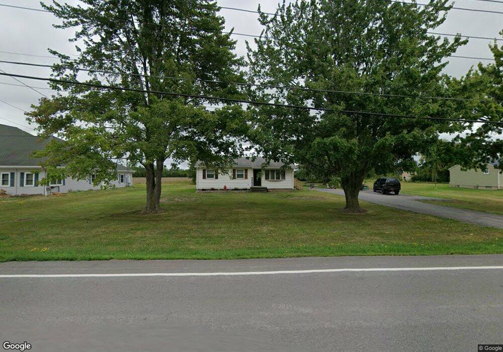
6133 Old Beattie Rd Lockport, NY 14094
South Lockport NeighborhoodEstimated Value: $173,000 - $358,000
3
Beds
1
Bath
1,212
Sq Ft
$215/Sq Ft
Est. Value
About This Home
This home is located at 6133 Old Beattie Rd, Lockport, NY 14094 and is currently estimated at $260,713, approximately $215 per square foot. 6133 Old Beattie Rd is a home located in Niagara County with nearby schools including Aaron Mossell Junior High School and Lockport High School.
Ownership History
Date
Name
Owned For
Owner Type
Purchase Details
Closed on
Nov 12, 2018
Sold by
Hollenbeck Wendy and Estate Of Larry R Wills
Bought by
Rook Anthony and Rook Alanna
Current Estimated Value
Home Financials for this Owner
Home Financials are based on the most recent Mortgage that was taken out on this home.
Original Mortgage
$81,480
Outstanding Balance
$71,356
Interest Rate
4.7%
Mortgage Type
New Conventional
Estimated Equity
$189,357
Create a Home Valuation Report for This Property
The Home Valuation Report is an in-depth analysis detailing your home's value as well as a comparison with similar homes in the area
Home Values in the Area
Average Home Value in this Area
Purchase History
| Date | Buyer | Sale Price | Title Company |
|---|---|---|---|
| Rook Anthony | $84,000 | None Available |
Source: Public Records
Mortgage History
| Date | Status | Borrower | Loan Amount |
|---|---|---|---|
| Open | Rook Anthony | $81,480 |
Source: Public Records
Tax History Compared to Growth
Tax History
| Year | Tax Paid | Tax Assessment Tax Assessment Total Assessment is a certain percentage of the fair market value that is determined by local assessors to be the total taxable value of land and additions on the property. | Land | Improvement |
|---|---|---|---|---|
| 2024 | $5,001 | $183,000 | $37,000 | $146,000 |
| 2023 | $4,689 | $166,000 | $31,100 | $134,900 |
| 2022 | $4,344 | $151,000 | $31,100 | $119,900 |
| 2021 | $4,045 | $108,000 | $24,400 | $83,600 |
| 2020 | $3,842 | $108,000 | $24,400 | $83,600 |
| 2019 | $917 | $103,600 | $24,400 | $79,200 |
| 2018 | $2,422 | $103,600 | $24,400 | $79,200 |
| 2017 | $2,296 | $98,000 | $20,100 | $77,900 |
| 2016 | $2,323 | $98,000 | $20,100 | $77,900 |
| 2015 | -- | $93,900 | $20,100 | $73,800 |
| 2014 | -- | $93,900 | $20,100 | $73,800 |
Source: Public Records
Map
Nearby Homes
- 343 Applewood Dr
- 351 Applewood Dr
- 438 Chestnut Dr
- 433 Chestnut Dr
- 519 Applewood Dr Unit 519
- 583 Evergreen Dr
- 383 Birchwood Dr
- 96 Elmhurst Dr Unit 96
- 455 Chestnut Dr
- 92 Fox Cir Unit 92
- 306 Dogwood Dr
- 145 Del Ct E Unit 145
- 109 B Elmhurst Dr
- 846 Birchwood Dr Unit 846
- 837 Willowbrook Dr
- 149 Crestwood Dr
- 263 Crestwood Ct E
- 670 Gardenwood Dr
- 34 Del Ct W
- 848 Birchwood Dr Unit 848
- 6137 Old Beattie Rd
- 6132 Old Beattie Rd
- 6134 Old Beattie Rd
- 6126 Old Beattie Rd
- 6136 Old Beattie Rd
- 6120 Old Beattie Rd
- 6138 Old Beattie Rd
- 6114 Old Beattie Rd
- 315 Applewood Dr
- v/l Applewood Dr
- 345 Applewood Dr
- 6140 Old Beattie Rd
- 6108 Old Beattie Rd
- 347 Applewood Dr
- 339 Applewood Dr
- 364 Birchwood Dr
- 6142 Old Beattie Rd
- 6153 Old Beattie Rd
- 6102 Old Beattie Rd
- 361 Birchwood Dr