6133 Orange St Mays Landing, NJ 08330
Estimated Value: $536,081 - $757,000
--
Bed
--
Bath
3,162
Sq Ft
$205/Sq Ft
Est. Value
About This Home
This home is located at 6133 Orange St, Mays Landing, NJ 08330 and is currently estimated at $648,770, approximately $205 per square foot. 6133 Orange St is a home located in Atlantic County with nearby schools including Joseph Shaner School, George L. Hess Educational Complex, and William Davies Middle School.
Ownership History
Date
Name
Owned For
Owner Type
Purchase Details
Closed on
May 31, 1996
Sold by
Nandal Paul N and Nandal Michelle
Bought by
Womelsdorf Allan H and Womelsdorf Donna J
Current Estimated Value
Home Financials for this Owner
Home Financials are based on the most recent Mortgage that was taken out on this home.
Original Mortgage
$184,000
Outstanding Balance
$10,445
Interest Rate
6.75%
Estimated Equity
$638,325
Create a Home Valuation Report for This Property
The Home Valuation Report is an in-depth analysis detailing your home's value as well as a comparison with similar homes in the area
Home Values in the Area
Average Home Value in this Area
Purchase History
| Date | Buyer | Sale Price | Title Company |
|---|---|---|---|
| Womelsdorf Allan H | $230,000 | Congress Title Division |
Source: Public Records
Mortgage History
| Date | Status | Borrower | Loan Amount |
|---|---|---|---|
| Open | Womelsdorf Allan H | $184,000 |
Source: Public Records
Tax History Compared to Growth
Tax History
| Year | Tax Paid | Tax Assessment Tax Assessment Total Assessment is a certain percentage of the fair market value that is determined by local assessors to be the total taxable value of land and additions on the property. | Land | Improvement |
|---|---|---|---|---|
| 2025 | $12,479 | $363,700 | $101,700 | $262,000 |
| 2024 | $12,479 | $363,700 | $101,700 | $262,000 |
| 2023 | $11,733 | $363,700 | $101,700 | $262,000 |
| 2022 | $11,733 | $363,700 | $101,700 | $262,000 |
| 2021 | $11,708 | $363,700 | $101,700 | $262,000 |
| 2020 | $11,708 | $363,700 | $101,700 | $262,000 |
| 2019 | $11,737 | $363,700 | $101,700 | $262,000 |
| 2018 | $11,326 | $363,700 | $101,700 | $262,000 |
| 2017 | $11,147 | $363,700 | $101,700 | $262,000 |
| 2016 | $10,835 | $363,700 | $101,700 | $262,000 |
| 2015 | $10,467 | $363,700 | $101,700 | $262,000 |
| 2014 | $10,490 | $399,300 | $122,400 | $276,900 |
Source: Public Records
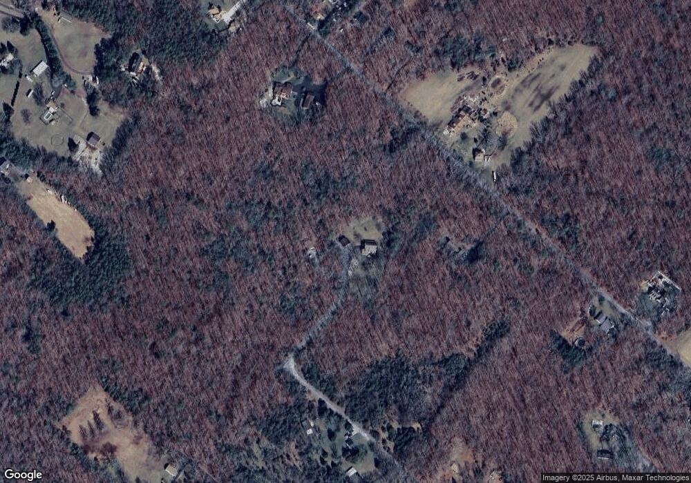
Map
Nearby Homes
- 6112 Laurel St
- 6125 Laurel St
- 6174 Laurel St
- 6129 Laurel St
- 6207 Laurel St
- 6101 Orange St
- 6157 Laurel St
- 6169 Laurel St
- 6035 Orange St
- 6064 Laurel St
- 6177 Laurel St
- 6042 Orange St
- 6200 Laurel St
- 6027 Orange St
- 6105 Hickory St
- 6030 Orange St
- 2630 Columbia Rd
- 6193 Laurel St
- 6047 Laurel St
- 6026 Orange St