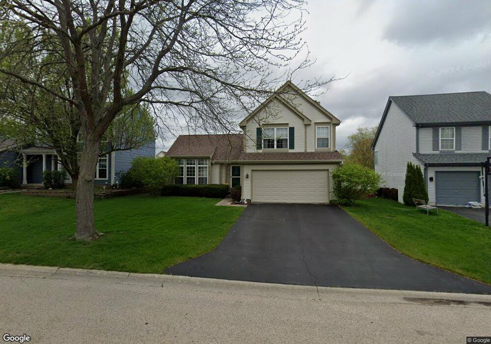
6134 Newbury Ct Gurnee, IL 60031
Estimated Value: $399,545 - $420,000
3
Beds
3
Baths
2,018
Sq Ft
$204/Sq Ft
Est. Value
About This Home
This home is located at 6134 Newbury Ct, Gurnee, IL 60031 and is currently estimated at $410,886, approximately $203 per square foot. 6134 Newbury Ct is a home located in Lake County with nearby schools including Woodland Primary School, Woodland Elementary School, and Woodland Intermediate School.
Ownership History
Date
Name
Owned For
Owner Type
Purchase Details
Closed on
Apr 24, 1995
Sold by
Northern Tr Bank Lake Forest Natl Assn
Bought by
Schmidt David A and Schmidt Susan M
Current Estimated Value
Home Financials for this Owner
Home Financials are based on the most recent Mortgage that was taken out on this home.
Original Mortgage
$165,800
Interest Rate
8.26%
Create a Home Valuation Report for This Property
The Home Valuation Report is an in-depth analysis detailing your home's value as well as a comparison with similar homes in the area
Home Values in the Area
Average Home Value in this Area
Purchase History
| Date | Buyer | Sale Price | Title Company |
|---|---|---|---|
| Schmidt David A | $207,500 | Chicago Title Insurance Co |
Source: Public Records
Mortgage History
| Date | Status | Borrower | Loan Amount |
|---|---|---|---|
| Previous Owner | Schmidt David A | $165,800 |
Source: Public Records
Tax History Compared to Growth
Tax History
| Year | Tax Paid | Tax Assessment Tax Assessment Total Assessment is a certain percentage of the fair market value that is determined by local assessors to be the total taxable value of land and additions on the property. | Land | Improvement |
|---|---|---|---|---|
| 2024 | $8,540 | $102,222 | $17,312 | $84,910 |
| 2023 | $8,845 | $94,905 | $16,073 | $78,832 |
| 2022 | $8,845 | $96,741 | $16,077 | $80,664 |
| 2021 | $7,991 | $92,860 | $15,432 | $77,428 |
| 2020 | $7,731 | $90,578 | $15,053 | $75,525 |
| 2019 | $7,509 | $87,948 | $14,616 | $73,332 |
| 2018 | $7,893 | $93,257 | $18,015 | $75,242 |
| 2017 | $7,808 | $90,585 | $17,499 | $73,086 |
| 2016 | $7,743 | $86,552 | $16,720 | $69,832 |
| 2015 | $7,537 | $82,086 | $15,857 | $66,229 |
| 2014 | $7,465 | $81,887 | $16,613 | $65,274 |
| 2012 | $7,077 | $82,514 | $16,740 | $65,774 |
Source: Public Records
Map
Nearby Homes
- 6141 Crossland Blvd
- 920 Vose Dr Unit 304
- 920 Vose Dr Unit 106
- 920 Vose Dr Unit 105
- 917 Vose Dr Unit 304
- 914 Vose Dr
- 776 Chandler Rd
- 6121 Brookstone Place
- 741 Colby Ct Unit U42
- 690 Chandler Rd Unit 102
- 690 Chandler Rd Unit 207
- 690 Chandler Rd Unit 305
- 650 Whitney Ct Unit 108
- 650 Whitney Ct Unit 203
- 651 White Ct
- 638 Dordan Ct
- 6296 Doral Dr
- 6359 Doral Dr
- 711 Creekside Cir Unit 103
- 761 Creekside Cir Unit 93
- 6138 Newbury Ct
- 6130 Newbury Ct
- 6142 Newbury Ct
- 6126 Newbury Ct
- 6125 Crossland Blvd
- 803 Adderly Ln Unit 3
- 6137 Newbury Ct
- 6133 Crossland Blvd
- 815 Adderly Ln
- 6125 Newbury Ct Unit 3
- 6122 Newbury Ct Unit 3
- 930 Chase Ct
- 932 Chase Ct Unit U459
- 934 Chase Ct
- 6109 Newbury Ct
- 936 Chase Ct Unit U457
- 6118 Newbury Ct
- 806 Adderly Ln
- 810 Adderly Ln
- 938 Chase Ct Unit U456