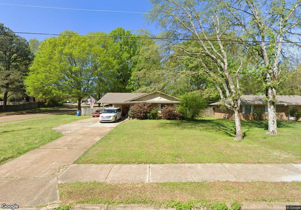
6135 Blocker St Olive Branch, MS 38654
Estimated Value: $179,743 - $218,000
3
Beds
--
Bath
1,297
Sq Ft
$159/Sq Ft
Est. Value
About This Home
This home is located at 6135 Blocker St, Olive Branch, MS 38654 and is currently estimated at $205,936, approximately $158 per square foot. 6135 Blocker St is a home located in DeSoto County with nearby schools including Olive Branch Elementary School, Chickasaw Elementary School, and Olive Branch Middle School.
Ownership History
Date
Name
Owned For
Owner Type
Purchase Details
Closed on
Apr 10, 2012
Sold by
Byrd Sara M
Bought by
Byrd Walker
Current Estimated Value
Purchase Details
Closed on
Apr 26, 2009
Sold by
Byrd Walker and Byrd Sara M
Bought by
Byrd Sara M
Create a Home Valuation Report for This Property
The Home Valuation Report is an in-depth analysis detailing your home's value as well as a comparison with similar homes in the area
Home Values in the Area
Average Home Value in this Area
Purchase History
We collect this data history from publicly available records. To have your information removed, we recommend requesting removal directly through your county’s website.
| Date | Buyer | Sale Price | Title Company |
|---|---|---|---|
| Byrd Walker | -- | First National Title Llc | |
| Byrd Sara M | -- | None Available |
Source: Public Records
Tax History
| Year | Tax Paid | Tax Assessment Tax Assessment Total Assessment is a certain percentage of the fair market value that is determined by local assessors to be the total taxable value of land and additions on the property. | Land | Improvement |
|---|---|---|---|---|
| 2025 | $1,076 | $9,292 | $1,500 | $7,792 |
| 2024 | $939 | $6,883 | $1,500 | $5,383 |
| 2023 | $939 | $6,883 | $0 | $0 |
| 2022 | $939 | $6,880 | $1,500 | $5,380 |
| 2021 | $939 | $6,880 | $1,500 | $5,380 |
| 2020 | $880 | $6,449 | $1,500 | $4,949 |
| 2019 | $880 | $6,449 | $1,500 | $4,949 |
| 2017 | $855 | $10,968 | $6,234 | $4,734 |
| 2016 | $855 | $6,234 | $1,500 | $4,734 |
| 2015 | $855 | $10,968 | $6,234 | $4,734 |
| 2014 | $855 | $6,234 | $0 | $0 |
| 2013 | $578 | $6,234 | $0 | $0 |
Source: Public Records
Map
Nearby Homes
- 5295 Blocker St
- 9271 Brooks Dr
- 9077 Rue Orleans Ln
- 6180 Rd
- 9084 Belle Maison Blvd
- 6748 Cockrum Rd
- 9450 Stone Point Dr
- 0 Caroma Unit 4006992
- 0 Caroma Unit 10199426
- 9361 Pigeon Roost Rd
- 6192 Houston Ln
- 9868 Sequoia Ln
- 9313 Pigeon Roost Rd
- 9730 Pigeon Roost Park Cir
- 6406 Cherokee Dr
- 6710 Cockrum
- 8911 Oak Branch Ln
- 9852 Pigeon Roost Park Cir
- 8847 Parkview Oaks Cir Unit 28
- 8817 Parkview Oaks Cir
- 6400 Blocker St
- 5 Blocker St
- 6177 Blocker St
- 6203 Blocker St
- 6149 Blocker St
- 6165 Blocker St
- 6308 Mcclendon Cir
- 6164 Shadow Oaks Cove N
- 6190 Blocker St
- 6208 Blocker St
- 9227 Coleman St
- 6164 Shadowland
- 9270 Brooks Dr
- 6150 Shadow Oaks Cove N
- 6178 Shadow Oaks Cove N
- 6236 Blocker St
- 9228 Coleman St
- 6136 Shadow Oaks Cove N
- 6093 Shadowland
- 9284 Brooks Dr
Your Personal Tour Guide
Ask me questions while you tour the home.