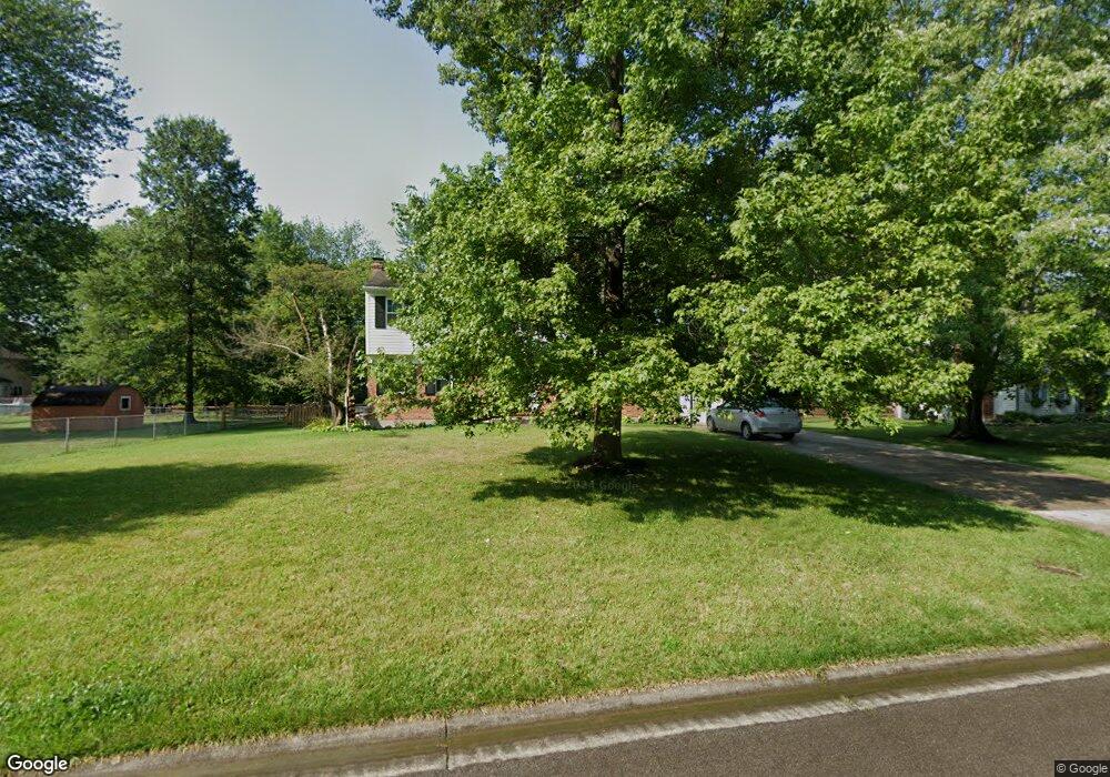
6135 Doe Ct Loveland, OH 45140
Outer Loveland NeighborhoodEstimated Value: $428,219 - $489,000
4
Beds
3
Baths
2,492
Sq Ft
$182/Sq Ft
Est. Value
About This Home
This home is located at 6135 Doe Ct, Loveland, OH 45140 and is currently estimated at $453,055, approximately $181 per square foot. 6135 Doe Ct is a home located in Clermont County with nearby schools including Milford Senior High School, Milford Christian Academy, and St. Andrew - St. Elizabeth Ann Seton School.
Ownership History
Date
Name
Owned For
Owner Type
Purchase Details
Closed on
Feb 17, 2000
Sold by
Norrils Halbert L
Bought by
Pflanz Robert M and Pflanz Shawn R
Current Estimated Value
Home Financials for this Owner
Home Financials are based on the most recent Mortgage that was taken out on this home.
Original Mortgage
$127,400
Outstanding Balance
$42,115
Interest Rate
8.16%
Mortgage Type
New Conventional
Estimated Equity
$410,940
Purchase Details
Closed on
Jun 2, 1984
Create a Home Valuation Report for This Property
The Home Valuation Report is an in-depth analysis detailing your home's value as well as a comparison with similar homes in the area
Home Values in the Area
Average Home Value in this Area
Purchase History
| Date | Buyer | Sale Price | Title Company |
|---|---|---|---|
| Pflanz Robert M | $149,900 | -- | |
| -- | $93,200 | -- |
Source: Public Records
Mortgage History
| Date | Status | Borrower | Loan Amount |
|---|---|---|---|
| Open | Pflanz Robert M | $127,400 |
Source: Public Records
Tax History Compared to Growth
Tax History
| Year | Tax Paid | Tax Assessment Tax Assessment Total Assessment is a certain percentage of the fair market value that is determined by local assessors to be the total taxable value of land and additions on the property. | Land | Improvement |
|---|---|---|---|---|
| 2024 | $4,962 | $107,530 | $19,430 | $88,100 |
| 2023 | $5,013 | $107,530 | $19,430 | $88,100 |
| 2022 | $4,972 | $81,380 | $14,700 | $66,680 |
| 2021 | $4,482 | $73,220 | $14,700 | $58,520 |
| 2020 | $4,298 | $73,220 | $14,700 | $58,520 |
| 2019 | $4,349 | $70,290 | $12,990 | $57,300 |
| 2018 | $4,351 | $70,290 | $12,990 | $57,300 |
| 2017 | $4,294 | $70,290 | $12,990 | $57,300 |
| 2016 | $4,136 | $60,590 | $11,200 | $49,390 |
| 2015 | $3,798 | $60,590 | $11,200 | $49,390 |
| 2014 | $3,798 | $60,590 | $11,200 | $49,390 |
| 2013 | $3,733 | $57,750 | $12,250 | $45,500 |
Source: Public Records
Map
Nearby Homes
- 6149 Century Farm Dr
- 6141 Brandywine Ct
- 1113 Clover Field Dr
- 1124 Clover Field Dr
- 6211 Spires Dr
- 1064 Weber Rd
- 6320 Ashford Dr
- 1803 Wheatfield Way
- 6211 Cook Rd
- 6077 Branch Hill Guinea Pike
- 2013 Weber Rd
- 1140 Weber Rd
- 6108 Donna Jay Dr
- 5933 Firm Stance Dr
- 1706 Cottontail Dr
- 1513 Charleston Ln
- 1285 State Rte 28
- 1289 Woodville Pike
- 6379 Derbyshire Ln
- 1201 Sorrel Ln