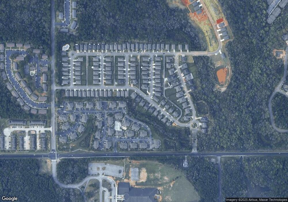
6135 Foxtail Dr Unit 9 Mobile, AL 36693
Canterbury NeighborhoodEstimated Value: $304,000 - $377,000
Studio
--
Bath
2,324
Sq Ft
$143/Sq Ft
Est. Value
About This Home
This home is located at 6135 Foxtail Dr Unit 9, Mobile, AL 36693 and is currently estimated at $332,037, approximately $142 per square foot. 6135 Foxtail Dr Unit 9 is a home located in Mobile County with nearby schools including Olive J. Dodge Elementary School, Burns Middle School, and Murphy High School.
Ownership History
Date
Name
Owned For
Owner Type
Purchase Details
Closed on
Feb 10, 2021
Sold by
Pant Amit and Pant Jaya
Bought by
Carson-Green Kieana Evette and Jones Eric
Current Estimated Value
Home Financials for this Owner
Home Financials are based on the most recent Mortgage that was taken out on this home.
Original Mortgage
$263,636
Outstanding Balance
$233,959
Interest Rate
2.65%
Mortgage Type
FHA
Estimated Equity
$98,078
Purchase Details
Closed on
Jun 20, 2017
Sold by
Pant Amit and Pandey Jaya
Bought by
Pant Amit and Pandey Jaya
Purchase Details
Closed on
Jan 21, 2011
Sold by
D R Horton Inc Birmingham
Bought by
Pant Amit and Pandey Jaya
Home Financials for this Owner
Home Financials are based on the most recent Mortgage that was taken out on this home.
Original Mortgage
$193,955
Interest Rate
4.62%
Mortgage Type
FHA
Create a Home Valuation Report for This Property
The Home Valuation Report is an in-depth analysis detailing your home's value as well as a comparison with similar homes in the area
Home Values in the Area
Average Home Value in this Area
Purchase History
| Date | Buyer | Sale Price | Title Company |
|---|---|---|---|
| Carson-Green Kieana Evette | $268,500 | Vaughn David | |
| Pant Amit | $211,400 | None Available | |
| Pant Amit | $199,000 | None Available |
Source: Public Records
Mortgage History
| Date | Status | Borrower | Loan Amount |
|---|---|---|---|
| Open | Carson-Green Kieana Evette | $263,636 | |
| Previous Owner | Pant Amit | $193,955 |
Source: Public Records
Tax History
| Year | Tax Paid | Tax Assessment Tax Assessment Total Assessment is a certain percentage of the fair market value that is determined by local assessors to be the total taxable value of land and additions on the property. | Land | Improvement |
|---|---|---|---|---|
| 2025 | $1,754 | $29,140 | $4,500 | $24,640 |
| 2024 | $1,754 | $26,650 | $4,000 | $22,650 |
| 2023 | $1,636 | $26,020 | $4,000 | $22,020 |
| 2022 | $3,105 | $24,450 | $4,000 | $20,450 |
| 2021 | $1,230 | $20,410 | $4,000 | $16,410 |
| 2020 | $1,241 | $20,600 | $4,000 | $16,600 |
| 2019 | $1,270 | $21,060 | $0 | $0 |
| 2018 | $1,241 | $20,600 | $0 | $0 |
| 2017 | $1,232 | $20,460 | $0 | $0 |
| 2016 | $1,275 | $21,140 | $0 | $0 |
| 2013 | $1,199 | $19,800 | $0 | $0 |
Source: Public Records
Map
Nearby Homes
- 6169 Foxtail Dr
- 5771 Rue Conti
- 6567 Addison Woods Dr
- 6583 Addison Woods Dr
- 6128 Lindholm Dr S
- 3140 Lloyds Ln
- 3549 Rue Royal
- 6409 Cherry Ridge Ct E
- 3447 Rue Royal
- 6239 Southridge Rd S
- 6504 Heritage Trace Ct
- 3009 Southridge Rd E
- 3312 Dundee Ct
- 5721 Blue Ridge Dr N Unit 2
- 3104 Autumn Ridge Ct
- 3001 Blue Ridge Dr E
- 5734 Ramada Dr S
- 3613 Vista Ridge Dr
- 5908 Rio Vista Dr
- 2913 Steeple Chase Ct S
- 6135 Foxtail Dr
- 6139 Foxtail Dr Unit 10
- 6139 Foxtail Dr
- 6127 Foxtail Dr Unit 7
- 6127 Foxtail Dr
- 6143 Foxtail Dr
- 6125 Foxtail Dr
- 6123 Foxtail Dr
- 6149 Foxtail Dr
- 6145 Foxtail Dr
- 3387 Torrey Dr Unit 90
- 3387 Torrey Dr
- 3374 Torrey Dr
- 6131 Foxtail Dr
- 6131 Foxtail Dr Unit 8
- 93 Foxtail Dr
- 0 Foxtail Dr Unit 2 0195179
- 0 Foxtail Dr Unit 1 0194864
- 0 Foxtail Dr Unit 4
- 107 Foxtail Dr
Your Personal Tour Guide
Ask me questions while you tour the home.
