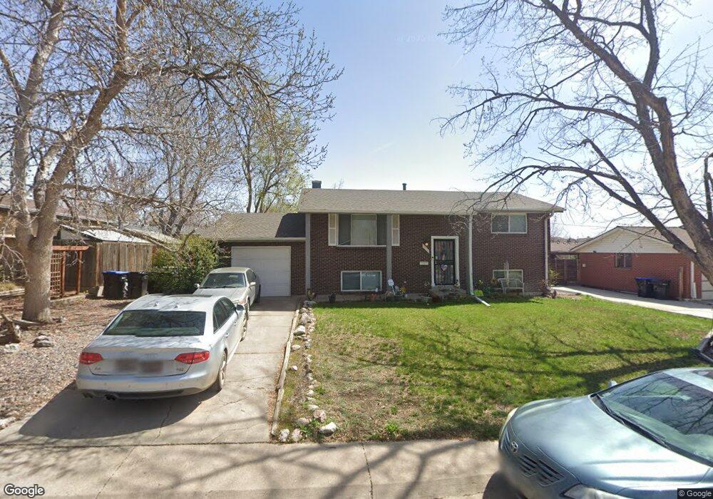
6136 Ammons St Arvada, CO 80004
Alta Vista NeighborhoodEstimated Value: $547,000 - $627,000
4
Beds
3
Baths
906
Sq Ft
$652/Sq Ft
Est. Value
About This Home
This home is located at 6136 Ammons St, Arvada, CO 80004 and is currently estimated at $590,900, approximately $652 per square foot. 6136 Ammons St is a home located in Jefferson County with nearby schools including Lawrence Elementary School, Arvada K-8, and Arvada High School.
Ownership History
Date
Name
Owned For
Owner Type
Purchase Details
Closed on
Aug 28, 1998
Sold by
Mendrick Paul J and Mendrick Therese A
Bought by
Bloyd Laura J
Current Estimated Value
Home Financials for this Owner
Home Financials are based on the most recent Mortgage that was taken out on this home.
Original Mortgage
$95,000
Outstanding Balance
$20,293
Interest Rate
6.9%
Mortgage Type
Stand Alone First
Estimated Equity
$570,607
Create a Home Valuation Report for This Property
The Home Valuation Report is an in-depth analysis detailing your home's value as well as a comparison with similar homes in the area
Home Values in the Area
Average Home Value in this Area
Purchase History
| Date | Buyer | Sale Price | Title Company |
|---|---|---|---|
| Bloyd Laura J | $129,000 | Land Title |
Source: Public Records
Mortgage History
| Date | Status | Borrower | Loan Amount |
|---|---|---|---|
| Open | Bloyd Laura J | $95,000 |
Source: Public Records
Tax History Compared to Growth
Tax History
| Year | Tax Paid | Tax Assessment Tax Assessment Total Assessment is a certain percentage of the fair market value that is determined by local assessors to be the total taxable value of land and additions on the property. | Land | Improvement |
|---|---|---|---|---|
| 2024 | $2,789 | $35,451 | $18,114 | $17,337 |
| 2023 | $2,789 | $35,451 | $18,114 | $17,337 |
| 2022 | $2,755 | $28,135 | $13,101 | $15,034 |
| 2021 | $2,801 | $28,945 | $13,478 | $15,467 |
| 2020 | $2,386 | $24,721 | $10,111 | $14,610 |
| 2019 | $2,353 | $24,721 | $10,111 | $14,610 |
| 2018 | $2,309 | $23,585 | $7,362 | $16,223 |
| 2017 | $2,114 | $23,585 | $7,362 | $16,223 |
| 2016 | $1,834 | $19,275 | $6,595 | $12,680 |
| 2015 | $1,505 | $19,275 | $6,595 | $12,680 |
| 2014 | $1,505 | $14,869 | $5,731 | $9,138 |
Source: Public Records
Map
Nearby Homes
- 6176 Ammons St
- 6011 Yarrow St Unit G
- 6011 Yarrow St Unit I
- 7885 Barbara Ann Dr Unit D
- 6007 Yarrow St Unit D
- 6150 Carr St
- 6015 Brentwood St
- 8233 W 62nd Place
- 5975 Dover St
- 8410 W 59th Ave
- 8420 W 59th Ave
- 8710 Alta Vista Dr
- 7700 Robinson Way
- 7707 Ralston Rd
- 6409 Brentwood St
- 6355 Carr St
- 6438 Yarrow St
- 6463 Brentwood St
- 6200 Estes St
- 7365 W 61st Ave
- 6146 Ammons St
- 6126 Ammons St
- 6133 Allison St
- 6123 Allison St
- 6143 Allison St
- 6156 Ammons St
- 6116 Ammons St
- 6131 Ammons St
- 6141 Ammons St
- 6113 Allison St
- 6121 Ammons St
- 6151 Ammons St
- 6153 Allison St
- 6106 Ammons St
- 6103 Allison St
- 6111 Ammons St
- 6161 Ammons St
- 6138 Balsam St
- 6134 Allison St
- 6163 Allison St