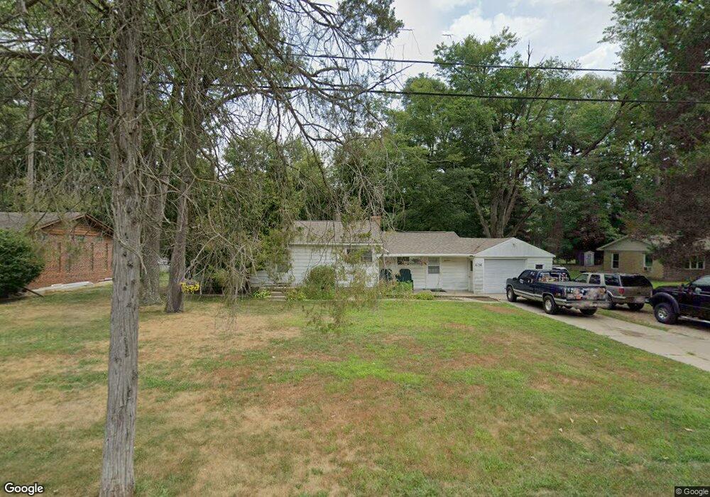
6136 E Lake Dr Haslett, MI 48840
Estimated Value: $236,818 - $289,000
3
Beds
1
Bath
1,233
Sq Ft
$212/Sq Ft
Est. Value
About This Home
This home is located at 6136 E Lake Dr, Haslett, MI 48840 and is currently estimated at $261,955, approximately $212 per square foot. 6136 E Lake Dr is a home located in Ingham County with nearby schools including Haslett High School and St. Martha School.
Ownership History
Date
Name
Owned For
Owner Type
Purchase Details
Closed on
Sep 16, 2021
Sold by
Ballard Debra and Sheridan Mary E
Bought by
Kelley David and Merritt Tammy
Current Estimated Value
Purchase Details
Closed on
Jan 9, 2021
Sold by
Mary E Sheridan Family Limited Partnersh
Bought by
Mary E Sheridan Revocable Living Trust
Purchase Details
Closed on
Feb 14, 2002
Sold by
Sheridan Mary E
Bought by
The Mary E Sheridan Family Ltd Prtnrshp
Purchase Details
Closed on
Apr 20, 2001
Sold by
Sheridan Mary E
Bought by
The Mary E Sheridan Revocable Living Tr
Create a Home Valuation Report for This Property
The Home Valuation Report is an in-depth analysis detailing your home's value as well as a comparison with similar homes in the area
Home Values in the Area
Average Home Value in this Area
Purchase History
| Date | Buyer | Sale Price | Title Company |
|---|---|---|---|
| Kelley David | -- | None Available | |
| Mary E Sheridan Revocable Living Trust | -- | None Listed On Document | |
| The Mary E Sheridan Family Ltd Prtnrshp | -- | -- | |
| The Mary E Sheridan Revocable Living Tr | -- | -- |
Source: Public Records
Tax History
| Year | Tax Paid | Tax Assessment Tax Assessment Total Assessment is a certain percentage of the fair market value that is determined by local assessors to be the total taxable value of land and additions on the property. | Land | Improvement |
|---|---|---|---|---|
| 2025 | $4,431 | $93,800 | $25,200 | $68,600 |
| 2024 | $20 | $88,000 | $24,100 | $63,900 |
| 2023 | $4,163 | $81,800 | $23,600 | $58,200 |
| 2022 | $3,965 | $73,000 | $22,300 | $50,700 |
| 2021 | $3,250 | $69,200 | $22,000 | $47,200 |
| 2020 | $3,204 | $64,400 | $22,000 | $42,400 |
| 2019 | $3,113 | $59,700 | $20,700 | $39,000 |
| 2018 | $2,977 | $58,000 | $23,900 | $34,100 |
| 2017 | $2,863 | $58,600 | $25,900 | $32,700 |
| 2016 | $1,308 | $55,800 | $25,000 | $30,800 |
| 2015 | $1,308 | $50,700 | $37,629 | $13,071 |
| 2014 | $1,308 | $39,800 | $16,979 | $22,821 |
Source: Public Records
Map
Nearby Homes
- 6101 Oak Park Trail
- 1235 Woodwind Trail
- 1153 Woodwind Trail
- 6299 Quail St
- 6403 E Reynolds Rd
- 5837 Carlton St
- 6427 W Reynolds Rd
- 6248 W Reynolds Rd
- 6325 W Lake Dr
- 7822 Forestview Dr
- 8566 Old State Highway 78
- 5684 Shaw St
- 5828 Lake Dr
- 16677 Peacock Ln
- 5614 Copper Creek Dr
- 16925 Willowbrook Dr
- 1171 Teakwood Cir
- 16725 Tormiston Rd
- 16685 Tormiston Rd
- 6370 Royal Oak Dr
Your Personal Tour Guide
Ask me questions while you tour the home.