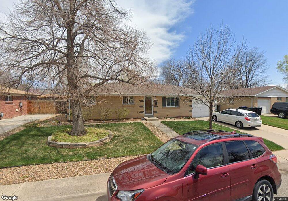
6136 Hoyt Ct Arvada, CO 80004
Alta Vista NeighborhoodEstimated Value: $552,277 - $620,000
3
Beds
3
Baths
1,029
Sq Ft
$559/Sq Ft
Est. Value
About This Home
This home is located at 6136 Hoyt Ct, Arvada, CO 80004 and is currently estimated at $575,319, approximately $559 per square foot. 6136 Hoyt Ct is a home located in Jefferson County with nearby schools including Lawrence Elementary School, Arvada K-8, and Arvada High School.
Ownership History
Date
Name
Owned For
Owner Type
Purchase Details
Closed on
Jul 12, 2018
Sold by
Neuschaefer Kerrie L and Neuschaefer Klaus W
Bought by
Klaus W An Kerrie L Neuschaefer Living T
Current Estimated Value
Purchase Details
Closed on
Oct 24, 1996
Sold by
Nichols Kerrie L and Nichols Kerrie L
Bought by
Neuschaefer Kerrie L and Neuschaefer Klaus W
Home Financials for this Owner
Home Financials are based on the most recent Mortgage that was taken out on this home.
Original Mortgage
$85,000
Interest Rate
8.15%
Create a Home Valuation Report for This Property
The Home Valuation Report is an in-depth analysis detailing your home's value as well as a comparison with similar homes in the area
Home Values in the Area
Average Home Value in this Area
Purchase History
| Date | Buyer | Sale Price | Title Company |
|---|---|---|---|
| Klaus W An Kerrie L Neuschaefer Living T | -- | None Available | |
| Neuschaefer Kerrie L | -- | First American Heritage Titl |
Source: Public Records
Mortgage History
| Date | Status | Borrower | Loan Amount |
|---|---|---|---|
| Closed | Neuschaefer Kerrie L | $85,000 |
Source: Public Records
Tax History Compared to Growth
Tax History
| Year | Tax Paid | Tax Assessment Tax Assessment Total Assessment is a certain percentage of the fair market value that is determined by local assessors to be the total taxable value of land and additions on the property. | Land | Improvement |
|---|---|---|---|---|
| 2024 | $2,421 | $31,657 | $15,997 | $15,660 |
| 2023 | $2,421 | $31,657 | $15,997 | $15,660 |
| 2022 | $1,898 | $26,333 | $11,837 | $14,496 |
| 2021 | $1,930 | $27,092 | $12,178 | $14,914 |
| 2020 | $1,570 | $23,424 | $9,486 | $13,938 |
| 2019 | $1,549 | $23,424 | $9,486 | $13,938 |
| 2018 | $1,321 | $20,695 | $6,353 | $14,342 |
| 2017 | $1,855 | $20,695 | $6,353 | $14,342 |
| 2016 | $1,616 | $16,978 | $5,539 | $11,439 |
| 2015 | $1,385 | $16,978 | $5,539 | $11,439 |
| 2014 | $1,385 | $13,684 | $4,872 | $8,812 |
Source: Public Records
Map
Nearby Homes
- 6138 Iris Way
- 6077 Flower St
- 9667 W 63rd Ave
- 9175 Cole Dr
- 9487 W 58th Ave Unit B
- 9457 W 58th Ave Unit D
- 9457 W 58th Ave Unit B
- 9656 Rensselaer Dr
- 9546 W 58th Ave Unit B
- Residence One Plan at Ralston Creek
- Residence Two Plan at Ralston Creek
- 6371 Brooks Dr
- 6009 Lee St
- 6250 Everett Ct Unit E
- 6240 Everett Ct Unit F
- 10211 W 59th Place
- 5920 Estes Ct
- 6200 Estes St
- 8710 Alta Vista Dr
- 6455 Field St