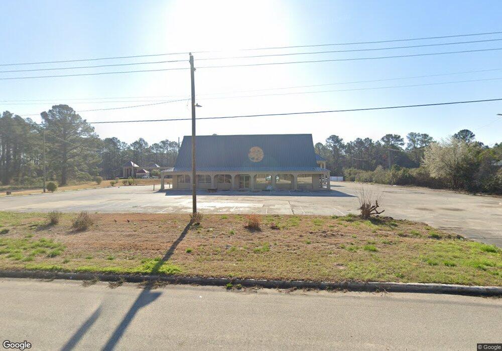
6137 Alex Harvin Hwy Manning, SC 29102
Estimated Value: $353,970
--
Bed
--
Bath
30,000
Sq Ft
$12/Sq Ft
Est. Value
About This Home
This home is located at 6137 Alex Harvin Hwy, Manning, SC 29102 and is currently estimated at $353,970, approximately $11 per square foot. 6137 Alex Harvin Hwy is a home located in Clarendon County with nearby schools including Dr. Rose H. Wilder Elementary, Summerton Early Childhood Center, and Scott's Branch Middle School.
Ownership History
Date
Name
Owned For
Owner Type
Purchase Details
Closed on
Jan 7, 2021
Sold by
Patel Bhikhubhai N and Patel Savitaben B
Bought by
Manning Hospitality Llc
Current Estimated Value
Purchase Details
Closed on
Nov 25, 2020
Sold by
Patel Dilipkumar D and Patel Dalubhai D
Bought by
Patel Bhikhubhai N and Patel Savitaben B
Purchase Details
Closed on
Aug 1, 2007
Sold by
Dew Inc
Bought by
Paresh & Jinesh Llc
Create a Home Valuation Report for This Property
The Home Valuation Report is an in-depth analysis detailing your home's value as well as a comparison with similar homes in the area
Home Values in the Area
Average Home Value in this Area
Purchase History
| Date | Buyer | Sale Price | Title Company |
|---|---|---|---|
| Manning Hospitality Llc | $250,000 | None Available | |
| Patel Bhikhubhai N | $299,000 | None Available | |
| Paresh & Jinesh Llc | $700,000 | None Available |
Source: Public Records
Tax History Compared to Growth
Tax History
| Year | Tax Paid | Tax Assessment Tax Assessment Total Assessment is a certain percentage of the fair market value that is determined by local assessors to be the total taxable value of land and additions on the property. | Land | Improvement |
|---|---|---|---|---|
| 2024 | $11,958 | $30,414 | $5,964 | $24,450 |
| 2023 | $11,641 | $30,414 | $5,964 | $24,450 |
| 2022 | $11,525 | $30,414 | $5,964 | $24,450 |
| 2021 | $7,564 | $20,400 | $6,600 | $13,800 |
| 2020 | $7,564 | $20,400 | $0 | $0 |
| 2019 | $7,706 | $20,400 | $0 | $0 |
| 2018 | $7,474 | $20,400 | $0 | $0 |
| 2017 | $7,451 | $20,400 | $0 | $0 |
| 2016 | $7,282 | $81,600 | $0 | $0 |
| 2015 | $6,818 | $20,034 | $6,600 | $13,434 |
| 2014 | $6,708 | $20,034 | $6,600 | $13,434 |
| 2013 | -- | $20,035 | $6,600 | $13,435 |
Source: Public Records
Map
Nearby Homes
- 0 Muller Dr
- 00 Rev J W Carter Rd
- 1012 Jonte Dr
- 1038 Jonte Ln
- 1441 Bojo Cir Unit Lot 29
- 2050 Lucien Brailsford Rd
- 1326 Loss Brook Rd
- 1111 Nicole Dr
- 1356 Mckenzie Rd
- 001 House Rd
- TBD White Oak Dr
- 5684 Moses Dingle Rd
- 1054 Hickory Ridge Cir
- 1159 Challenger Ct
- 1023 Shortleaf Dr
- 22 W End St
- 6862 Moses Dingle Rd
- 1868 Haseldon Dr
- 2332 Bill Davis Rd
- 1101 Birch Haven Dr
- NA
- 6289 Alex Harvin Hwy
- 5973 Alex Harvin Hwy
- 5978 Alex Harvin Hwy
- 6358 Alex Harvin Hwy
- 2240 Ram Bay Rd 37 Acres
- 6664 Alex Harvin Hwy
- 1874 Ram Bay Rd
- 1187 Muller Dr
- 1969 Ram Bay Rd
- 1499 Downing Dr
- 2080 Ram Bay Rd
- 3305 Rev J W Carter Rd
- 1527 Downing Dr
- 1547 Downing Dr
- 5507 Alex Harvin Hwy
- 1567 Downing Dr
- 1068 Paperback Dr
- 3587 Rev J W Carter Rd
- 2158 Ram Bay Rd