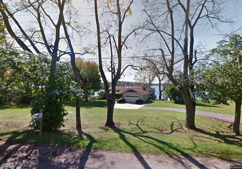
61370 Crooked Creek Rd Cassopolis, MI 49031
Estimated Value: $1,288,000 - $2,136,031
--
Bed
--
Bath
2,144
Sq Ft
$796/Sq Ft
Est. Value
About This Home
This home is located at 61370 Crooked Creek Rd, Cassopolis, MI 49031 and is currently estimated at $1,706,677, approximately $796 per square foot. 61370 Crooked Creek Rd is a home with nearby schools including Sam Adams Elementary School, Cassopolis Middle School, and Cassopolis Ross Beatty High School.
Ownership History
Date
Name
Owned For
Owner Type
Purchase Details
Closed on
Jun 10, 2020
Sold by
Sieradzki James Z and Sieradzki Christine E
Bought by
Sieradzki James P
Current Estimated Value
Home Financials for this Owner
Home Financials are based on the most recent Mortgage that was taken out on this home.
Original Mortgage
$950,000
Outstanding Balance
$575,585
Interest Rate
3.2%
Mortgage Type
Credit Line Revolving
Estimated Equity
$1,131,092
Create a Home Valuation Report for This Property
The Home Valuation Report is an in-depth analysis detailing your home's value as well as a comparison with similar homes in the area
Home Values in the Area
Average Home Value in this Area
Purchase History
| Date | Buyer | Sale Price | Title Company |
|---|---|---|---|
| Sieradzki James P | $950,000 | Fidelity National Ttl Co Llc |
Source: Public Records
Mortgage History
| Date | Status | Borrower | Loan Amount |
|---|---|---|---|
| Open | Sieradzki James P | $950,000 |
Source: Public Records
Tax History Compared to Growth
Tax History
| Year | Tax Paid | Tax Assessment Tax Assessment Total Assessment is a certain percentage of the fair market value that is determined by local assessors to be the total taxable value of land and additions on the property. | Land | Improvement |
|---|---|---|---|---|
| 2025 | $23,244 | $795,500 | $795,500 | $0 |
| 2024 | $5,838 | $744,100 | $744,100 | $0 |
| 2023 | $5,568 | $533,600 | $0 | $0 |
| 2022 | $3,289 | $435,100 | $0 | $0 |
| 2021 | $12,770 | $368,200 | $0 | $0 |
| 2020 | $12,626 | $376,300 | $0 | $0 |
| 2019 | $12,239 | $394,000 | $0 | $0 |
| 2018 | $3,028 | $391,900 | $0 | $0 |
| 2017 | $1,924 | $300,900 | $0 | $0 |
| 2016 | $1,907 | $329,700 | $0 | $0 |
| 2015 | -- | $336,200 | $0 | $0 |
| 2011 | -- | $329,808 | $0 | $0 |
Source: Public Records
Map
Nearby Homes
- 60757 Beechwood Ln
- 61626 Colony Bay Dr Unit 15
- 61738 Lake View Dr
- 15 Diamond Harbor Ct
- 1 Diamond Harbor Ct
- 1244 Diamond Harbor Ct Unit 14
- 21687 Shiawassee Dr
- 61271 Lenawee Rd
- 61189 Lenawee Rd
- 21373 Sail Bay Dr
- 20177 Osborn St
- 22301 Forest Ave
- 61412 Walnut St
- 22345 Woodland St
- 60536 Christiann
- 813 Park Shore Dr
- VL Marble St
- Tract 7 Brookside Ct
- Tract 6 Brookside Ct
- Tract 5 Brookside Ct
- 61360 Crooked Creek Rd
- 61332 Crooked Creek Rd
- 61320 Crooked Creek Rd
- 61396 Leigh Ave
- 61426 Leigh Ave
- 61453 Leigh Ave
- 61330 Crooked Creek Rd
- 61436 Leigh Ave
- 61365 Crooked Creek Rd
- 61318 Crooked Creek Rd
- 61452 Leigh Ave
- 61305 Crooked Creek Rd
- 61462 Leigh Ave
- 61490 Leigh Ave
- 61480 Leigh Ave
- 61510 Leigh Ave
- 61510 Leigh Ave
- 61500 Leigh Ave
- 61528 Leigh Ave
- 61520 Leigh Ave