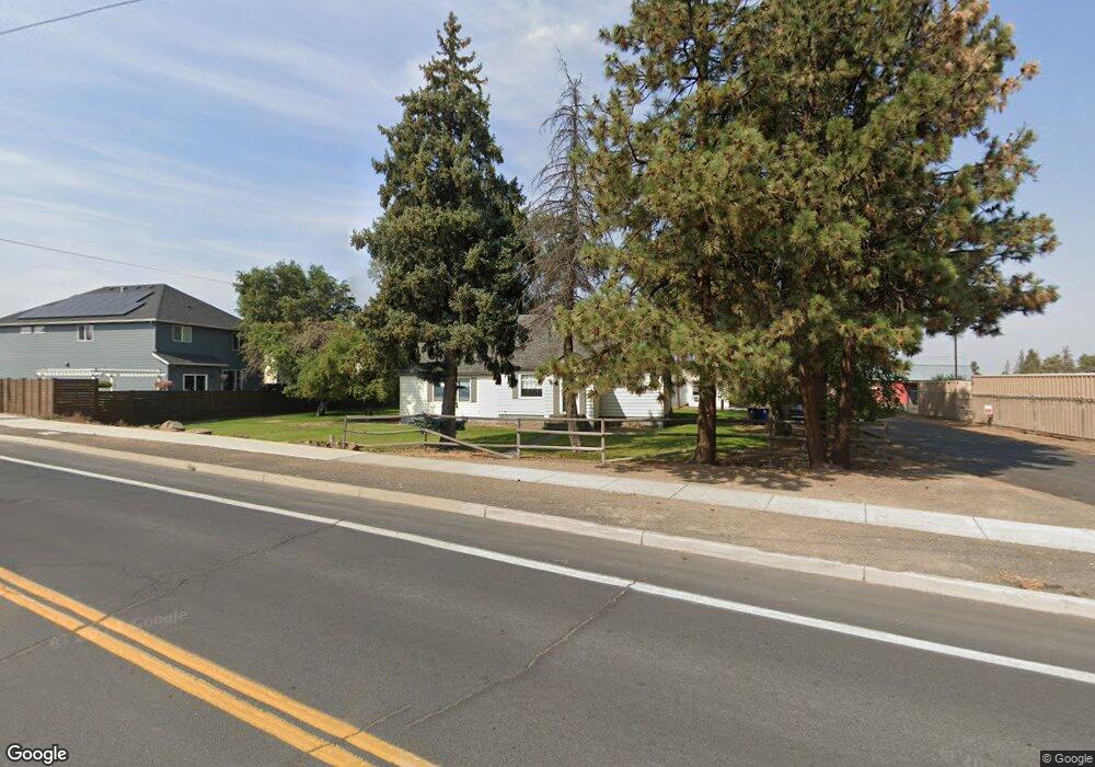
61384 Brosterhous Rd Bend, OR 97702
Old Farm District NeighborhoodEstimated Value: $637,000 - $1,130,000
2
Beds
2
Baths
1,500
Sq Ft
$626/Sq Ft
Est. Value
About This Home
This home is located at 61384 Brosterhous Rd, Bend, OR 97702 and is currently estimated at $939,579, approximately $626 per square foot. 61384 Brosterhous Rd is a home located in Deschutes County with nearby schools including Silver Rail Elementary School, High Desert Middle School, and Bend Senior High School.
Ownership History
Date
Name
Owned For
Owner Type
Purchase Details
Closed on
Apr 19, 2006
Sold by
Oakley Scott H and Oakley Susan D
Bought by
Anderson Three Llc
Current Estimated Value
Home Financials for this Owner
Home Financials are based on the most recent Mortgage that was taken out on this home.
Original Mortgage
$2,200,000
Outstanding Balance
$911,192
Interest Rate
6.35%
Mortgage Type
Construction
Estimated Equity
$28,387
Create a Home Valuation Report for This Property
The Home Valuation Report is an in-depth analysis detailing your home's value as well as a comparison with similar homes in the area
Home Values in the Area
Average Home Value in this Area
Purchase History
| Date | Buyer | Sale Price | Title Company |
|---|---|---|---|
| Anderson Three Llc | $1,800,000 | Western Title & Escrow Co |
Source: Public Records
Mortgage History
| Date | Status | Borrower | Loan Amount |
|---|---|---|---|
| Open | Anderson Three Llc | $2,200,000 |
Source: Public Records
Tax History Compared to Growth
Tax History
| Year | Tax Paid | Tax Assessment Tax Assessment Total Assessment is a certain percentage of the fair market value that is determined by local assessors to be the total taxable value of land and additions on the property. | Land | Improvement |
|---|---|---|---|---|
| 2025 | $6,699 | $396,450 | -- | -- |
| 2024 | $6,445 | $384,910 | -- | -- |
| 2023 | $5,974 | $373,700 | $0 | $0 |
| 2022 | $5,574 | $352,260 | $0 | $0 |
| 2021 | $5,582 | $342,000 | $0 | $0 |
| 2020 | $5,296 | $342,000 | $0 | $0 |
| 2019 | $5,149 | $332,040 | $0 | $0 |
| 2018 | $5,003 | $322,370 | $0 | $0 |
| 2017 | $4,857 | $312,990 | $0 | $0 |
| 2016 | $4,631 | $303,880 | $0 | $0 |
| 2015 | $4,503 | $295,030 | $0 | $0 |
| 2014 | $4,301 | $286,440 | $0 | $0 |
Source: Public Records
Map
Nearby Homes
- 20615 Kira Dr Unit 386
- 20606 SE Slate Ave
- 20603 Kira Dr Unit 383
- 20657 Couples Ln
- 20599 Kira Dr Unit 382
- 20528 Dylan Loop
- 20572 Conifer Ave
- 20575 Conifer Ave
- 20572 Kira Dr Unit 369
- 20495 SE Bard Ct Unit 7
- 20487 SE Bard Ct Unit 11
- 20580 Klahani Dr
- 20560 Kira Dr Unit 371
- 61467 Kobe St Unit 344
- 61475 Kobe St Unit 342
- 61429 SE Daybreak Ct Unit Lot 7
- 61409 SE Daybreak Ct Unit Lot 2
- 61405 SE Daybreak Ct
- 61413 SE Daybreak
- 61433 SE Daybreak Ct Unit Lot 8
- 61404 SE Colima St
- 61408 SE Colima St Unit Lot 215
- 61412 SE Colima St
- 61379 Brosterhous Rd Unit 2
- 61379 Brosterhous Rd Unit 1
- 61379 Brosterhous Rd Unit 1,2,3
- 61379 Brosterhous Rd
- 61380 Brosterhous Rd
- 61416 SE Colima St
- 61423 American Ln
- 61420 SE Colima St
- 61375 Brosterhous Rd
- 20534 Prospector Loop
- 61424 SE Colima St
- 61345 Brosterhous Rd
- 20645 SE Gemstone Ave
- 20538 Prospector Loop
- 20641 SE Gemstone Ave
- 61428 SE Colima St
- 20646 SE Gemstone Ave