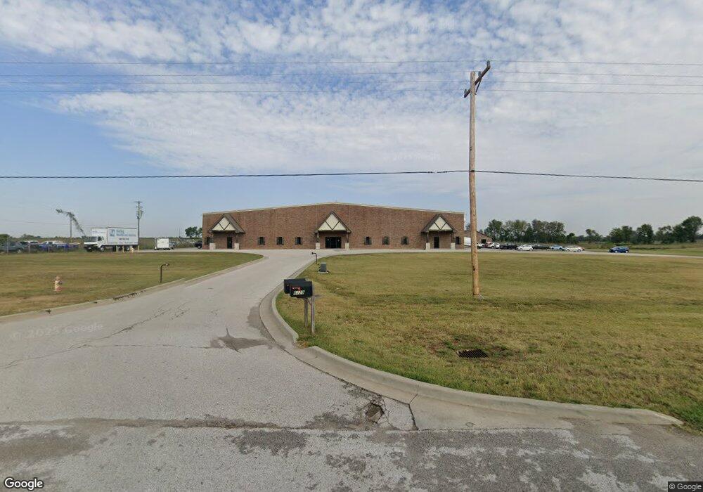
6139 W Us Highway 60 Battlefield, MO 65619
--
Bed
--
Bath
43,000
Sq Ft
6.04
Acres
About This Home
This home is located at 6139 W Us Highway 60, Battlefield, MO 65619. 6139 W Us Highway 60 is a home located in Greene County with nearby schools including Price Elementary School, Republic Middle School, and Republic High School.
Ownership History
Date
Name
Owned For
Owner Type
Purchase Details
Closed on
Jul 1, 2015
Sold by
Regional Warehouse Llc
Bought by
Springfield Evergreen Holdings Llc
Purchase Details
Closed on
May 29, 2013
Sold by
Rg Hudspeth Investment Company Inc
Bought by
Regional Warehouse Llc
Home Financials for this Owner
Home Financials are based on the most recent Mortgage that was taken out on this home.
Original Mortgage
$800,000
Interest Rate
3.43%
Mortgage Type
Future Advance Clause Open End Mortgage
Create a Home Valuation Report for This Property
The Home Valuation Report is an in-depth analysis detailing your home's value as well as a comparison with similar homes in the area
Home Values in the Area
Average Home Value in this Area
Purchase History
| Date | Buyer | Sale Price | Title Company |
|---|---|---|---|
| Springfield Evergreen Holdings Llc | -- | None Available | |
| Regional Warehouse Llc | -- | None Available |
Source: Public Records
Mortgage History
| Date | Status | Borrower | Loan Amount |
|---|---|---|---|
| Previous Owner | Regional Warehouse Llc | $800,000 |
Source: Public Records
Tax History Compared to Growth
Tax History
| Year | Tax Paid | Tax Assessment Tax Assessment Total Assessment is a certain percentage of the fair market value that is determined by local assessors to be the total taxable value of land and additions on the property. | Land | Improvement |
|---|---|---|---|---|
| 2025 | $17,007 | $686,690 | $213,540 | $473,150 |
| 2024 | $17,007 | $263,060 | $81,380 | $181,680 |
| 2023 | $16,727 | $263,060 | $81,380 | $181,680 |
| 2022 | $16,788 | $262,970 | $81,380 | $181,590 |
| 2021 | $16,702 | $262,970 | $81,380 | $181,590 |
| 2020 | $16,949 | $263,360 | $81,380 | $181,980 |
| 2019 | $16,899 | $235,520 | $81,380 | $154,140 |
| 2018 | $17,901 | $270,260 | $81,380 | $188,880 |
| 2017 | $17,774 | $269,110 | $81,380 | $187,730 |
| 2016 | $17,872 | $269,110 | $81,380 | $187,730 |
| 2015 | $17,818 | $269,110 | $81,380 | $187,730 |
| 2014 | $18,033 | $0 | $0 | $0 |
Source: Public Records
Map
Nearby Homes
- 4085 E Ashwood Ct
- 1755 N Boxwood Dr
- 4082 E Ashwood Ct
- 4093 E Ashwood St
- 4074 E Ashwood Ct
- 4090 E Ashwood Ct
- 4058 E Ashwood Ct
- 4098 E Ashwood Ct
- The Charleston Plan at Wilson's Valley
- The Mesa W/Basement Plan at Wilson's Valley
- The Manhattan Plan at Wilson's Valley
- The Savannah Plan at Wilson's Valley
- The Aspen W/Basement Plan at Wilson's Valley
- The Dayton Plan at Wilson's Valley
- The Charleston W/Basement Plan at Wilson's Valley
- The Mesa Plan at Wilson's Valley
- The Tampa Plan at Wilson's Valley
- The Edgewood Plan at Wilson's Valley
- The Raleigh Plan at Wilson's Valley
- 1722 N Hawthorne Place
- 6149 W Us Highway 60
- Tract 3 W Us Hwy 60
- 6021 W Us Highway 60
- 6021 W Us Highway 60
- 2494 N Commercial Ave
- 0 Hwy 413 (West Sunshine) Unit 10823763
- Tract 2 Us-60
- 3203 S Farm Road 103
- 00 Farm Road 107
- Tbd S Farm Road 107
- 0 S Farm Road 107 Unit 60109622
- 0 S Farm Road 107 Unit 60109619
- 0 S Farm Road 107 Unit 60109617
- 0 S Farm Road 107 Unit 60109711
- 0 S Farm Road 107 Unit 60109714
- 0 S Farm Road 107 Unit 60109716
- 0 S Farm Road 107 Unit 60109713
- 2380 S Farm Road 107
- 0 S Farm Road 107 Unit Tract 3
- 3276 S Farm Road 107