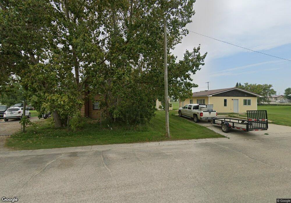
614 2nd St NE Dunseith, ND 58329
Estimated Value: $62,000 - $85,086
1
Bed
1
Bath
580
Sq Ft
$127/Sq Ft
Est. Value
About This Home
This home is located at 614 2nd St NE, Dunseith, ND 58329 and is currently estimated at $73,543, approximately $126 per square foot. 614 2nd St NE is a home located in Rolette County with nearby schools including Dunseith Elementary School and Dunseith High School.
Ownership History
Date
Name
Owned For
Owner Type
Purchase Details
Closed on
Jul 14, 2023
Sold by
Fuge Christopher G and Fuge Jamie J
Bought by
Cree Bret
Current Estimated Value
Purchase Details
Closed on
Jul 21, 2011
Sold by
Rose Land And Finance Corp
Bought by
Fuge Christopher G and Fuge Jamie J
Purchase Details
Closed on
Jul 1, 2011
Sold by
First National Acceptance Co
Bought by
Rose Land And Finance Corp
Purchase Details
Closed on
Jan 30, 2006
Sold by
Capital City Real Estate Inc and Fillman Bruce
Bought by
First National Acceptance Co
Create a Home Valuation Report for This Property
The Home Valuation Report is an in-depth analysis detailing your home's value as well as a comparison with similar homes in the area
Purchase History
| Date | Buyer | Sale Price | Title Company |
|---|---|---|---|
| Cree Bret | $35,000 | None Listed On Document | |
| Fuge Christopher G | $18,000 | None Available | |
| Rose Land And Finance Corp | -- | None Available | |
| First National Acceptance Co | $13,650 | None Available |
Source: Public Records
Tax History
| Year | Tax Paid | Tax Assessment Tax Assessment Total Assessment is a certain percentage of the fair market value that is determined by local assessors to be the total taxable value of land and additions on the property. | Land | Improvement |
|---|---|---|---|---|
| 2025 | $1,449 | $16,100 | $1,607 | $14,493 |
| 2024 | $421 | $14,550 | $1,450 | $13,100 |
| 2023 | $409 | $14,550 | $1,450 | $13,100 |
| 2022 | $390 | $13,750 | $1,400 | $12,350 |
| 2021 | $401 | $13,350 | $1,350 | $12,000 |
| 2020 | $388 | $13,350 | $1,350 | $12,000 |
| 2019 | $395 | $13,350 | $1,350 | $12,000 |
| 2018 | $354 | $12,805 | $1,290 | $11,515 |
| 2017 | $356 | $12,805 | $1,290 | $11,515 |
| 2016 | $325 | $12,805 | $1,290 | $11,515 |
| 2015 | $299 | $1,152 | $0 | $0 |
| 2014 | $274 | $1,152 | $0 | $0 |
| 2013 | $227 | $961 | $0 | $0 |
Source: Public Records
Map
Nearby Homes
- w2ne4, ne4nw4 of 31 163 73
- W2ne4, Ne4 of 31 163 73
- W2ne4 Unit NE4NW4
- Tbd 103 St NE
- TBD 103 St NE
- 3738 Bureau of Indian Affairs Road 8
- Tbd 100th St NE
- S1/2 SW1/4 8-162-74 & Nw1 4 Sw1 4 8-162-74
- 912 Shadow Bay
- 8538 31st Ave NE
- 10317 41st Ave NE
- 25 Boundary Lake
- 3722 86th St
- 603 3rd Ave
- 308 Highland St
- 603 State St
- 401 Park St
- 106 Main St
- 614 Harris Ct
- L5 Bohl's Bay
Your Personal Tour Guide
Ask me questions while you tour the home.