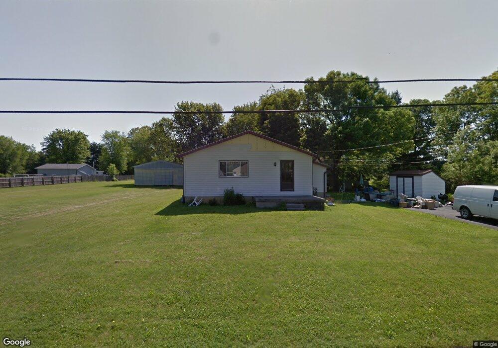
614 Barr Dr SW Lancaster, OH 43130
Estimated Value: $89,202 - $348,000
--
Bed
--
Bath
--
Sq Ft
0.91
Acres
About This Home
This home is located at 614 Barr Dr SW, Lancaster, OH 43130 and is currently estimated at $173,551. 614 Barr Dr SW is a home located in Fairfield County with nearby schools including General Sherman Junior High School, Lancaster High School, and St Mary Elementary School.
Ownership History
Date
Name
Owned For
Owner Type
Purchase Details
Closed on
Apr 23, 2003
Sold by
Drake Lundy F and Drake Joan M
Bought by
Drake Lundy F and Drake Joan M
Current Estimated Value
Create a Home Valuation Report for This Property
The Home Valuation Report is an in-depth analysis detailing your home's value as well as a comparison with similar homes in the area
Home Values in the Area
Average Home Value in this Area
Purchase History
| Date | Buyer | Sale Price | Title Company |
|---|---|---|---|
| Drake Lundy F | -- | -- |
Source: Public Records
Tax History Compared to Growth
Tax History
| Year | Tax Paid | Tax Assessment Tax Assessment Total Assessment is a certain percentage of the fair market value that is determined by local assessors to be the total taxable value of land and additions on the property. | Land | Improvement |
|---|---|---|---|---|
| 2024 | $1,833 | $20,390 | $18,910 | $1,480 |
| 2023 | $758 | $20,390 | $18,910 | $1,480 |
| 2022 | $762 | $20,390 | $18,910 | $1,480 |
| 2021 | $634 | $15,890 | $14,410 | $1,480 |
| 2020 | $203 | $15,890 | $14,410 | $1,480 |
| 2019 | $579 | $15,890 | $14,410 | $1,480 |
| 2018 | $176 | $15,270 | $14,410 | $860 |
| 2017 | $586 | $15,270 | $14,410 | $860 |
| 2016 | $571 | $15,270 | $14,410 | $860 |
| 2015 | $588 | $15,270 | $14,410 | $860 |
| 2014 | $561 | $15,270 | $14,410 | $860 |
| 2013 | $561 | $15,270 | $14,410 | $860 |
Source: Public Records
Map
Nearby Homes
- 0 W Fair Ave
- 2576 Brook Run Dr
- 958 Thorn Hill Place
- 957 Governor's Cir
- 2610 Misty Meadows Ave
- 204 Western St
- 185 9th St
- 3 1st St
- 599 Front St
- 255 9th St
- 282 14th St
- 71 3rd St
- 371 12th St
- 367 12th St
- 331 16th St
- 5701 Lancaster-Circleville Rd SW
- 635 Brannon Dr
- 1829 Shoshone Dr
- 1821 Shoshone Dr
- 147 Shawnee Dr
- 614 Barr Dr SW
- 615 Barr Dr SW
- 632 Barr Dr SW
- 627 Barr Dr SW
- 2569 Heidelberg Dr
- 602 Barr Dr SW
- 2563 Heidelberg Dr
- 633 Barr Dr SW
- 2557 Heidelberg Dr
- 601 Barr Dr SW
- 2551 Heidelberg Dr
- 2611 Heidelberg Dr
- 645 Barr Dr SW
- 0 Barr Dr Unit 9922011
- 0 Barr Dr Unit 9919116
- 0 Barr Dr Unit 9920226
- 0 Barr Dr Unit 28232
- 708 Heidelberg Dr
- 0 Barr Dr Unit 224011987
- 0 Barr Dr Unit 9924447