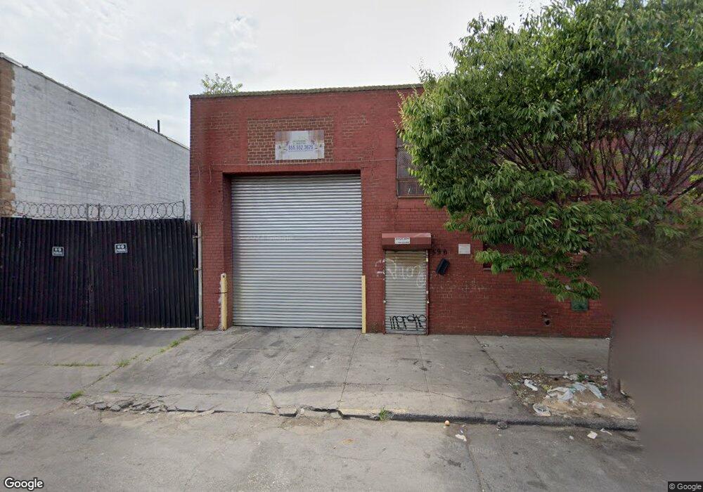
614 Berriman St Brooklyn, NY 11208
East New York NeighborhoodEstimated Value: $206,885
--
Bed
--
Bath
--
Sq Ft
2,004
Sq Ft Lot
About This Home
This home is located at 614 Berriman St, Brooklyn, NY 11208 and is currently estimated at $206,885. 614 Berriman St is a home located in Kings County with nearby schools including P.S. 224 Hale A Woodruff, Van Siclen Community Middle School, and Achievement First Aspire Charter.
Ownership History
Date
Name
Owned For
Owner Type
Purchase Details
Closed on
Apr 1, 2004
Sold by
Del Casa Realty Corp
Bought by
Antoniello Anthony
Current Estimated Value
Purchase Details
Closed on
Oct 22, 1999
Sold by
Kushman Philip and Maxon Sarah
Bought by
Del Casa Realty Corp
Purchase Details
Closed on
Jul 14, 1997
Sold by
Maxon Sarah and Maxon Shirley S
Bought by
Maxon Sarah and Maxon Shirley S
Create a Home Valuation Report for This Property
The Home Valuation Report is an in-depth analysis detailing your home's value as well as a comparison with similar homes in the area
Home Values in the Area
Average Home Value in this Area
Purchase History
| Date | Buyer | Sale Price | Title Company |
|---|---|---|---|
| Antoniello Anthony | $100,000 | -- | |
| Antoniello Anthony | $100,000 | -- | |
| Del Casa Realty Corp | $40,000 | Stewart Title Guaranty Compa | |
| Kushman Philip | -- | Stewart Title Insurance Co | |
| Del Casa Realty Corp | $40,000 | Stewart Title Guaranty Compa | |
| Maxon Sarah | -- | -- | |
| Maxon Sarah | -- | -- |
Source: Public Records
Tax History Compared to Growth
Tax History
| Year | Tax Paid | Tax Assessment Tax Assessment Total Assessment is a certain percentage of the fair market value that is determined by local assessors to be the total taxable value of land and additions on the property. | Land | Improvement |
|---|---|---|---|---|
| 2025 | $3,051 | $27,450 | $27,450 | -- |
| 2024 | $3,051 | $28,800 | $28,800 | $0 |
| 2023 | $3,210 | $30,150 | $30,150 | $0 |
| 2022 | $3,436 | $31,950 | $31,950 | $0 |
| 2021 | $3,609 | $33,750 | $33,750 | $0 |
| 2020 | $1,929 | $37,350 | $37,350 | $0 |
| 2019 | $3,927 | $37,350 | $37,350 | $0 |
| 2018 | $4,305 | $40,950 | $40,950 | $0 |
| 2017 | $4,594 | $51,300 | $51,300 | $0 |
| 2016 | $4,297 | $46,800 | $46,800 | $0 |
| 2015 | $2,639 | $44,100 | $44,100 | $0 |
| 2014 | $2,639 | $39,600 | $39,600 | $0 |
Source: Public Records
Map
Nearby Homes
- 586 Milford St
- 589 Milford St
- 517 Milford St
- 956 Hegeman Ave
- 2461 Linden Blvd
- 2476 Linden Blvd
- 495 Milford St
- 801 Logan St
- 777 Logan St
- 477 Berriman St
- 738 Shepherd Ave
- 846 Stanley Ave
- 846 Stanley Ave Unit 4383/1
- 461 Milford St
- 459 Berriman St
- 710 Shepherd Ave
- 434 Milford St
- 864 Euclid Ave
- 878 Euclid Ave
- 791 Linwood St
- 616 Berriman St
- 596 Berriman St
- 933-939 Stanley Ave
- 847-865 Shepherd Ave
- 931 Stanley Ave
- 613-619 Berriman St
- 595-611 Berriman St
- 595 Berriman St
- 835-845 Berriman St
- 620 Atkins Ave
- 585-593 Berriman St
- 602-612 Atkins Ave
- 864 Shepherd Ave
- 854-862 Shepherd Ave
- 598-622 Atkins Ave
- 833 Shepherd Ave
- 590-596 Atkins Ave
- 590 Atkins Ave
- 850 Shepherd Ave
- 941-959 Stanley Ave