Estimated Value: $248,334 - $301,000
--
Bed
3
Baths
2,444
Sq Ft
$117/Sq Ft
Est. Value
About This Home
This home is located at 614 Fuller Rd, Mauk, GA 31058 and is currently estimated at $284,834, approximately $116 per square foot. 614 Fuller Rd is a home located in Marion County with nearby schools including L.K. Moss Elementary School and Marion County Middle/High School.
Ownership History
Date
Name
Owned For
Owner Type
Purchase Details
Closed on
Dec 3, 2019
Sold by
King Blake Jeffrey
Bought by
King Charity Sommer
Current Estimated Value
Purchase Details
Closed on
Aug 23, 2018
Sold by
Mcquery Michael
Bought by
King Blake J and King Charity S
Home Financials for this Owner
Home Financials are based on the most recent Mortgage that was taken out on this home.
Original Mortgage
$143,295
Interest Rate
4.5%
Mortgage Type
Purchase Money Mortgage
Purchase Details
Closed on
Mar 31, 2014
Sold by
Fuller Greg
Bought by
Mcquery Michael and Mcquery Telena Dawn
Home Financials for this Owner
Home Financials are based on the most recent Mortgage that was taken out on this home.
Original Mortgage
$154,950
Interest Rate
4.4%
Mortgage Type
VA
Purchase Details
Closed on
Aug 27, 1993
Bought by
Fuller Greg and Fuller Glenda
Create a Home Valuation Report for This Property
The Home Valuation Report is an in-depth analysis detailing your home's value as well as a comparison with similar homes in the area
Home Values in the Area
Average Home Value in this Area
Purchase History
| Date | Buyer | Sale Price | Title Company |
|---|---|---|---|
| King Charity Sommer | -- | -- | |
| King Blake J | $143,295 | -- | |
| Mcquery Michael | $150,000 | -- | |
| Fuller Greg | -- | -- |
Source: Public Records
Mortgage History
| Date | Status | Borrower | Loan Amount |
|---|---|---|---|
| Previous Owner | King Blake J | $143,295 | |
| Previous Owner | Mcquery Michael | $154,950 |
Source: Public Records
Tax History Compared to Growth
Tax History
| Year | Tax Paid | Tax Assessment Tax Assessment Total Assessment is a certain percentage of the fair market value that is determined by local assessors to be the total taxable value of land and additions on the property. | Land | Improvement |
|---|---|---|---|---|
| 2024 | $1,501 | $66,440 | $3,546 | $62,894 |
| 2023 | $1,492 | $64,779 | $1,885 | $62,894 |
| 2022 | $1,443 | $62,347 | $1,885 | $60,462 |
| 2021 | $1,435 | $62,347 | $1,885 | $60,462 |
| 2020 | $1,489 | $62,347 | $1,885 | $60,462 |
| 2019 | $1,484 | $62,347 | $1,885 | $60,462 |
| 2018 | $1,485 | $62,347 | $1,885 | $60,462 |
| 2017 | $1,485 | $62,347 | $1,885 | $60,462 |
| 2016 | $1,488 | $63,458 | $2,996 | $60,462 |
| 2015 | -- | $63,459 | $2,996 | $60,462 |
| 2014 | -- | $62,406 | $1,944 | $60,462 |
| 2013 | -- | $62,406 | $1,944 | $60,462 |
Source: Public Records
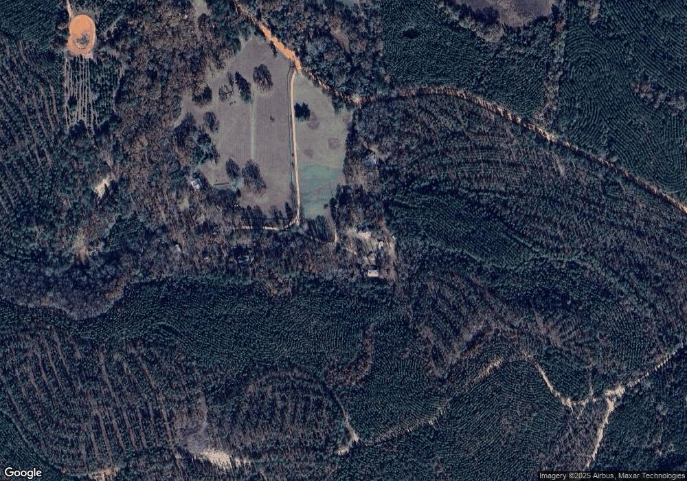
Map
Nearby Homes
- 0 Fuller Rd Unit 22846458
- 301 Blueville Rd
- 5264 Georgia 41
- 349 New Hope Rd
- 0 Pineknot Rd
- 245 Dog Track Rd
- 1164 Pineknot Rd
- 1675 Joe Wells Rd
- 0 Palmer Cemetery Rd Unit 10588100
- 81 Brady Rd
- 117 Buttercup Ln
- 1009 Walter Wells Rd
- 111 Sunnyside Dr
- 0 Georgia 240
- 221 Flamingo Dr
- 65 Saddle Trail
- SR-240 Connector
- 2450 Fort Perry Rd
- 62 Brannon Montgomery Rd
- 11.36 Rd
- 530 Fuller Rd
- 596 Fuller Rd
- 624 Fuller Rd
- 522 Fuller Rd
- 452 Fuller Rd
- 445 Fuller Rd
- 1443 Tower Point Rd
- 1398 Tower Point Rd
- 05 Tower Point Rd
- 006 Tower Point Rd
- 0067 Tower Point Rd
- 067 Tower Point Rd
- 002 Tower Point Rd
- 004 Tower Point Rd
- 005 Tower Point Rd
- 003 Tower Point Rd
- 001 Tower Point Rd
- 00 Tower Point Rd
- 4696 Ga Hwy 41 N
- 4696 Ga Highway 41 N