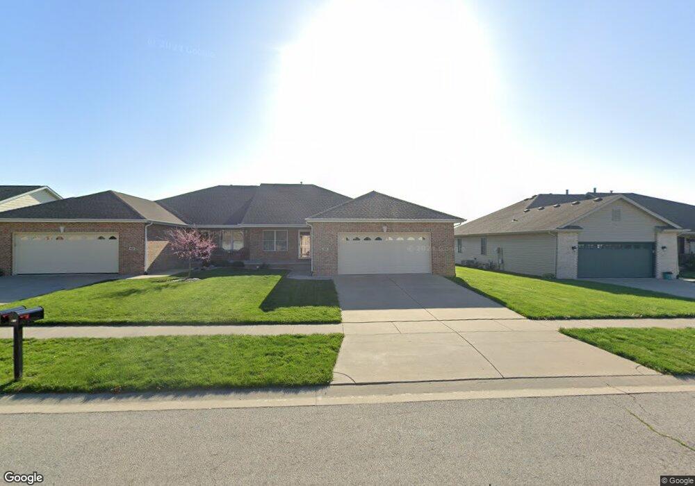
614 Heathrow Ln Rochester, IL 62563
Estimated Value: $267,000 - $284,000
--
Bed
--
Bath
--
Sq Ft
6,534
Sq Ft Lot
About This Home
This home is located at 614 Heathrow Ln, Rochester, IL 62563 and is currently estimated at $277,193. 614 Heathrow Ln is a home located in Sangamon County with nearby schools including Rochester Elementary Ec-1 School, Rochester Elementary School, and Rochester Intermediate School.
Ownership History
Date
Name
Owned For
Owner Type
Purchase Details
Closed on
Jan 26, 2022
Sold by
Nuding Timothy L
Bought by
Nuding Timothy L and Nuding Lucy Nicole
Current Estimated Value
Purchase Details
Closed on
Aug 10, 2021
Sold by
Merschman Home Builders Inc
Bought by
Nuding Timothy L
Home Financials for this Owner
Home Financials are based on the most recent Mortgage that was taken out on this home.
Original Mortgage
$164,900
Interest Rate
2.67%
Mortgage Type
New Conventional
Purchase Details
Closed on
Aug 25, 2008
Create a Home Valuation Report for This Property
The Home Valuation Report is an in-depth analysis detailing your home's value as well as a comparison with similar homes in the area
Home Values in the Area
Average Home Value in this Area
Purchase History
| Date | Buyer | Sale Price | Title Company |
|---|---|---|---|
| Nuding Timothy L | -- | None Listed On Document | |
| Nuding Timothy L | $219,900 | Prairie Land Title | |
| Nuding Timothy L | $219,900 | Prairie Land Title | |
| Nuding Timothy L | $219,900 | Prairie Land Title | |
| -- | -- | -- |
Source: Public Records
Mortgage History
| Date | Status | Borrower | Loan Amount |
|---|---|---|---|
| Previous Owner | Nuding Timothy L | $164,900 |
Source: Public Records
Tax History Compared to Growth
Tax History
| Year | Tax Paid | Tax Assessment Tax Assessment Total Assessment is a certain percentage of the fair market value that is determined by local assessors to be the total taxable value of land and additions on the property. | Land | Improvement |
|---|---|---|---|---|
| 2024 | $5,902 | $89,302 | $8,422 | $80,880 |
| 2023 | $4,972 | $73,838 | $9,406 | $64,432 |
| 2022 | $4,772 | $69,915 | $8,906 | $61,009 |
| 2021 | $4,571 | $67,122 | $8,550 | $58,572 |
| 2020 | $4,930 | $66,260 | $8,440 | $57,820 |
| 2019 | $4,840 | $66,693 | $8,495 | $58,198 |
| 2018 | $4,801 | $65,624 | $8,359 | $57,265 |
| 2017 | $4,729 | $64,930 | $8,271 | $56,659 |
| 2016 | $4,588 | $62,808 | $8,001 | $54,807 |
| 2015 | $4,567 | $62,242 | $7,929 | $54,313 |
| 2014 | $4,536 | $61,785 | $7,871 | $53,914 |
| 2013 | $4,472 | $61,077 | $7,781 | $53,296 |
Source: Public Records
Map
Nearby Homes
- 27 Mishawaka Dr Unit 1
- 5 Swannanoa Unit 1
- 46 Woodland Trail
- 112 Deer Creek Rd Unit 1
- 1204 W Main St
- 3440 Woodhaven Dr Unit 1
- 3491 Woodhaven Dr
- 217 E Main St Unit 1
- 427 Spring Ridge
- 525 E Mill St Unit 1
- 3810 Bristlecone Dr Unit 2
- 3149 Beaver Creek Ln
- 329-331 Harbor Point Place
- 312 Harbor Point Place
- 314 Harbor Point Place
- 3504 Hoylake Dr
- 3120 Red Bud Ln
- 66 White Birch Rd
- 4315 Sage Rd
- 25 Cottage Grove Ln Unit 1
- 612 Heathrow Ln
- 616 Heathrow Ln
- 618 Heathrow Ln
- 608 Heathrow Ln
- 606 Heathrow Ln
- 700 Heathrow Ln
- 613 Heathrow Ln
- 609 Heathrow Ln
- 611 Heathrow Ln
- 615 Heathrow Ln
- 702 Heathrow Ln
- 617 Heathrow Ln
- 604 Heathrow Ln
- 701 Heathrow Ln
- 703 Heathrow Ln
- 704 Heathrow Ln
- 705 Heathrow Ln
- 600 Heathrow Ln
- 706 Heathrow Ln