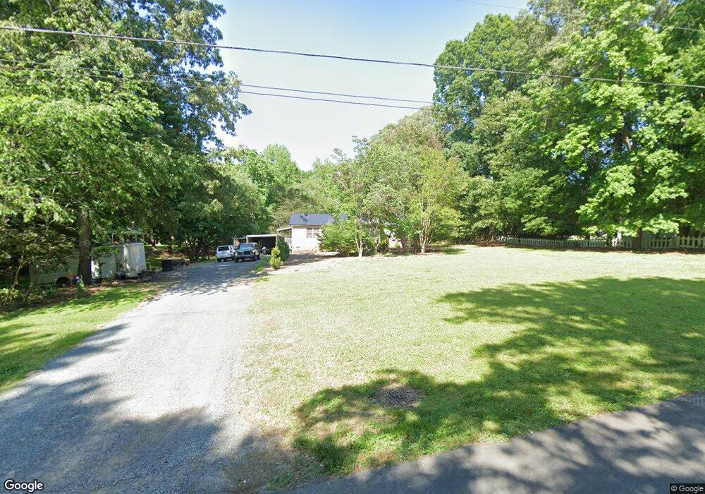
614 Maple St Locust, NC 28097
Estimated Value: $283,000 - $318,000
3
Beds
2
Baths
1,300
Sq Ft
$230/Sq Ft
Est. Value
About This Home
This home is located at 614 Maple St, Locust, NC 28097 and is currently estimated at $298,749, approximately $229 per square foot. 614 Maple St is a home located in Stanly County with nearby schools including Locust Elementary School, West Stanly Middle School, and West Stanly High School.
Ownership History
Date
Name
Owned For
Owner Type
Purchase Details
Closed on
Apr 18, 2013
Sold by
Williams John S and Williams Brenda H
Bought by
Brock Keshia
Current Estimated Value
Home Financials for this Owner
Home Financials are based on the most recent Mortgage that was taken out on this home.
Original Mortgage
$110,204
Outstanding Balance
$78,210
Interest Rate
3.59%
Mortgage Type
New Conventional
Estimated Equity
$220,539
Create a Home Valuation Report for This Property
The Home Valuation Report is an in-depth analysis detailing your home's value as well as a comparison with similar homes in the area
Home Values in the Area
Average Home Value in this Area
Purchase History
| Date | Buyer | Sale Price | Title Company |
|---|---|---|---|
| Brock Keshia | $108,000 | None Available |
Source: Public Records
Mortgage History
| Date | Status | Borrower | Loan Amount |
|---|---|---|---|
| Open | Brock Keshia | $110,204 |
Source: Public Records
Tax History
| Year | Tax Paid | Tax Assessment Tax Assessment Total Assessment is a certain percentage of the fair market value that is determined by local assessors to be the total taxable value of land and additions on the property. | Land | Improvement |
|---|---|---|---|---|
| 2025 | $1,846 | $200,640 | $62,920 | $137,720 |
| 2024 | $1,395 | $127,957 | $38,360 | $89,597 |
| 2023 | $1,515 | $127,957 | $38,360 | $89,597 |
| 2022 | $1,502 | $127,957 | $38,360 | $89,597 |
| 2021 | $1,489 | $127,957 | $38,360 | $89,597 |
| 2020 | $1,665 | $112,914 | $32,220 | $80,694 |
| 2019 | $1,396 | $112,914 | $32,220 | $80,694 |
| 2018 | $1,276 | $112,914 | $32,220 | $80,694 |
| 2017 | $1,276 | $112,914 | $32,220 | $80,694 |
| 2016 | $1,242 | $109,953 | $29,340 | $80,613 |
| 2015 | $1,359 | $109,953 | $29,340 | $80,613 |
| 2014 | $1,398 | $109,953 | $29,340 | $80,613 |
Source: Public Records
Map
Nearby Homes
- 249 Amber Glen Dr
- 230 Battery Dr
- 245 Amber Glen Dr
- 241 Amber Glen Dr
- 237 Amber Glen Dr
- 233 Amber Glen Dr
- 229 Amber Glen Dr
- 225 Amber Glen Dr
- 221 Amber Glen Dr
- 166 Battery Dr
- 217 Amber Glen Dr
- 211 Amber Glen Dr
- 117 Battery Dr
- 205 Amber Glen Dr
- 201 Amber Glen Dr
- 117 Danita Dr
- 319 N Central Ave
- 219 Kerri Dawn Ln
- 617 Ardsley Dr
- 213 Delancy St
Your Personal Tour Guide
Ask me questions while you tour the home.